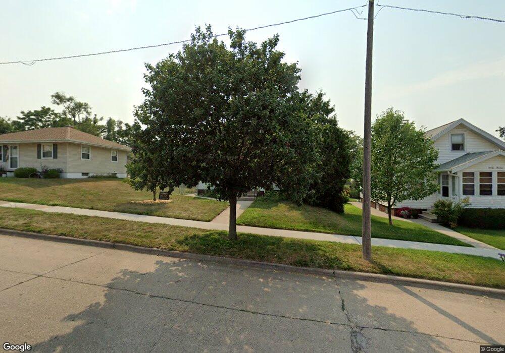
2018 Mallory St SW Cedar Rapids, IA 52404
Southwest Area NeighborhoodEstimated Value: $140,000 - $154,000
2
Beds
1
Bath
784
Sq Ft
$186/Sq Ft
Est. Value
About This Home
This home is located at 2018 Mallory St SW, Cedar Rapids, IA 52404 and is currently estimated at $146,015, approximately $186 per square foot. 2018 Mallory St SW is a home located in Linn County with nearby schools including Grant Elementary School, Wilson Middle School, and Thomas Jefferson High School.
Ownership History
Date
Name
Owned For
Owner Type
Purchase Details
Closed on
Nov 13, 2003
Sold by
Walker Julie K
Bought by
Edwards Sandra D
Current Estimated Value
Home Financials for this Owner
Home Financials are based on the most recent Mortgage that was taken out on this home.
Original Mortgage
$87,600
Outstanding Balance
$39,754
Interest Rate
5.81%
Mortgage Type
Unknown
Estimated Equity
$106,261
Purchase Details
Closed on
Aug 8, 2001
Sold by
Sedrel Larry G and Sedrel Sandra J
Bought by
Walker Julie K
Home Financials for this Owner
Home Financials are based on the most recent Mortgage that was taken out on this home.
Original Mortgage
$60,900
Interest Rate
7.15%
Create a Home Valuation Report for This Property
The Home Valuation Report is an in-depth analysis detailing your home's value as well as a comparison with similar homes in the area
Home Values in the Area
Average Home Value in this Area
Purchase History
| Date | Buyer | Sale Price | Title Company |
|---|---|---|---|
| Edwards Sandra D | $89,500 | -- | |
| Walker Julie K | $72,500 | -- |
Source: Public Records
Mortgage History
| Date | Status | Borrower | Loan Amount |
|---|---|---|---|
| Open | Edwards Sandra D | $87,600 | |
| Previous Owner | Walker Julie K | $60,900 |
Source: Public Records
Tax History
| Year | Tax Paid | Tax Assessment Tax Assessment Total Assessment is a certain percentage of the fair market value that is determined by local assessors to be the total taxable value of land and additions on the property. | Land | Improvement |
|---|---|---|---|---|
| 2025 | $1,880 | $140,100 | $26,500 | $113,600 |
| 2024 | $2,022 | $127,800 | $21,600 | $106,200 |
| 2023 | $2,022 | $123,700 | $19,600 | $104,100 |
| 2022 | $1,880 | $104,700 | $19,600 | $85,100 |
| 2021 | $1,882 | $99,700 | $19,600 | $80,100 |
| 2020 | $1,882 | $93,900 | $19,600 | $74,300 |
| 2019 | $1,706 | $87,700 | $16,700 | $71,000 |
| 2018 | $1,656 | $87,700 | $16,700 | $71,000 |
| 2017 | $1,702 | $86,700 | $16,700 | $70,000 |
| 2016 | $1,873 | $88,100 | $16,700 | $71,400 |
| 2015 | $1,815 | $85,286 | $16,660 | $68,626 |
| 2014 | $1,630 | $87,408 | $16,660 | $70,748 |
| 2013 | $1,634 | $87,408 | $16,660 | $70,748 |
Source: Public Records
Map
Nearby Homes
- 186 22nd Ave SW
- 1829 J St SW
- 2401 Victoria Dr SW
- 1906 K St SW
- 2407 Teresa Dr SW
- 1415 Hamilton St SW
- 2461 Teresa Dr SW
- 110 27th Avenue Dr SW
- 259 27th Ave SW
- 2324 Deborah Dr SW
- 2262 C St SW
- 1435 N St SW
- 1300 M St SW
- 2937 Southland St SW
- 51 29th Avenue Dr SW Unit D11
- 51 29th Avenue Dr SW Unit C22
- 2955 Bowling St SW Unit E238
- 2430 Linwood St SW
- 131 Red Wing Rd SW
- 648 22nd Ave SW
- 2014 Mallory St SW
- 2024 Mallory St SW
- 2010 Mallory St SW
- 2008 Mallory St SW
- 2013 Hamilton St SW
- 2009 Hamilton St SW
- 2000 Mallory St SW
- 2021 Hamilton St SW
- 2007 Hamilton St SW
- 2017 Mallory St SW
- 2005 Hamilton St SW
- 2011 Mallory St SW
- 1930 Mallory St SW
- 2023 Mallory St SW
- 2001 Hamilton St SW
- 2003 Mallory St SW
- 2100 Mallory St SW
- 171 21st Ave SW
- 1926 Mallory St SW
- 1931 Hamilton St SW
Your Personal Tour Guide
Ask me questions while you tour the home.