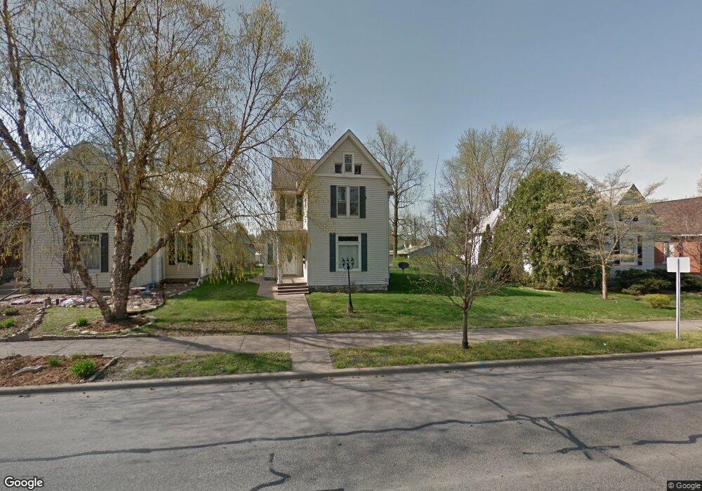
2018 State St Quincy, IL 62301
Estimated Value: $92,000 - $143,000
4
Beds
2
Baths
--
Sq Ft
14,810
Sq Ft Lot
About This Home
This home is located at 2018 State St, Quincy, IL 62301 and is currently estimated at $110,268. 2018 State St is a home located in Adams County with nearby schools including Thomas S. Baldwin Elementary School, Quincy Junior High School, and Quincy Senior High School.
Ownership History
Date
Name
Owned For
Owner Type
Purchase Details
Closed on
Feb 29, 2024
Sold by
Kelle John M
Bought by
Unity Properties Inc
Current Estimated Value
Home Financials for this Owner
Home Financials are based on the most recent Mortgage that was taken out on this home.
Original Mortgage
$136,000
Outstanding Balance
$133,052
Interest Rate
6.6%
Mortgage Type
New Conventional
Estimated Equity
-$22,784
Create a Home Valuation Report for This Property
The Home Valuation Report is an in-depth analysis detailing your home's value as well as a comparison with similar homes in the area
Home Values in the Area
Average Home Value in this Area
Purchase History
| Date | Buyer | Sale Price | Title Company |
|---|---|---|---|
| Unity Properties Inc | $85,000 | None Listed On Document |
Source: Public Records
Mortgage History
| Date | Status | Borrower | Loan Amount |
|---|---|---|---|
| Open | Unity Properties Inc | $136,000 |
Source: Public Records
Tax History
| Year | Tax Paid | Tax Assessment Tax Assessment Total Assessment is a certain percentage of the fair market value that is determined by local assessors to be the total taxable value of land and additions on the property. | Land | Improvement |
|---|---|---|---|---|
| 2024 | $1,811 | $27,770 | $7,470 | $20,300 |
| 2023 | $2,317 | $35,020 | $6,930 | $28,090 |
| 2022 | $2,191 | $32,700 | $6,470 | $26,230 |
| 2021 | $2,004 | $29,080 | $6,340 | $22,740 |
| 2020 | $1,966 | $28,520 | $6,220 | $22,300 |
| 2019 | $1,929 | $28,210 | $6,150 | $22,060 |
| 2018 | $1,914 | $27,660 | $6,030 | $21,630 |
| 2017 | $1,867 | $27,390 | $5,970 | $21,420 |
| 2016 | $1,833 | $26,280 | $5,730 | $20,550 |
| 2015 | $1,760,060 | $26,280 | $5,730 | $20,550 |
| 2012 | $1,761 | $25,410 | $5,540 | $19,870 |
Source: Public Records
Map
Nearby Homes
Your Personal Tour Guide
Ask me questions while you tour the home.