2018 Stone Edge Dr Lebanon, TN 37087
Estimated Value: $375,172 - $518,000
--
Bed
2
Baths
2,287
Sq Ft
$198/Sq Ft
Est. Value
About This Home
This home is located at 2018 Stone Edge Dr, Lebanon, TN 37087 and is currently estimated at $453,043, approximately $198 per square foot. 2018 Stone Edge Dr is a home located in Wilson County with nearby schools including Tuckers Crossroads School and Watertown High School.
Ownership History
Date
Name
Owned For
Owner Type
Purchase Details
Closed on
Mar 31, 2004
Sold by
William Adcock
Bought by
Sheldon Gardner
Current Estimated Value
Home Financials for this Owner
Home Financials are based on the most recent Mortgage that was taken out on this home.
Original Mortgage
$140,000
Outstanding Balance
$65,330
Interest Rate
5.54%
Estimated Equity
$387,713
Purchase Details
Closed on
Jul 31, 2003
Sold by
Wayne Taylor
Bought by
William Adcock
Create a Home Valuation Report for This Property
The Home Valuation Report is an in-depth analysis detailing your home's value as well as a comparison with similar homes in the area
Home Values in the Area
Average Home Value in this Area
Purchase History
| Date | Buyer | Sale Price | Title Company |
|---|---|---|---|
| Sheldon Gardner | $175,000 | -- | |
| William Adcock | $29,000 | -- |
Source: Public Records
Mortgage History
| Date | Status | Borrower | Loan Amount |
|---|---|---|---|
| Open | William Adcock | $140,000 |
Source: Public Records
Tax History Compared to Growth
Tax History
| Year | Tax Paid | Tax Assessment Tax Assessment Total Assessment is a certain percentage of the fair market value that is determined by local assessors to be the total taxable value of land and additions on the property. | Land | Improvement |
|---|---|---|---|---|
| 2024 | $1,222 | $64,000 | $14,625 | $49,375 |
| 2022 | $1,222 | $64,000 | $14,625 | $49,375 |
| 2021 | $1,222 | $64,000 | $14,625 | $49,375 |
| 2020 | $1,208 | $64,000 | $14,625 | $49,375 |
| 2019 | $1,208 | $47,975 | $7,025 | $40,950 |
| 2018 | $1,208 | $47,975 | $7,025 | $40,950 |
| 2017 | $1,208 | $47,975 | $7,025 | $40,950 |
| 2016 | $1,208 | $47,975 | $7,025 | $40,950 |
| 2015 | $1,233 | $47,975 | $7,025 | $40,950 |
| 2014 | $1,125 | $43,769 | $0 | $0 |
Source: Public Records
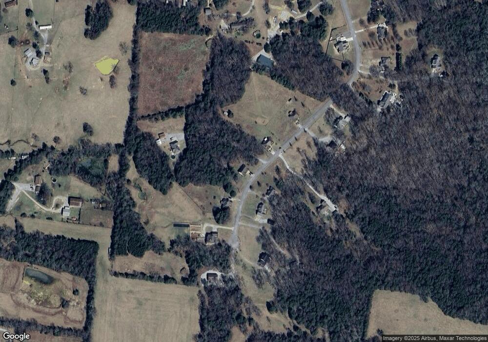
Map
Nearby Homes
- 3483 Big Springs Rd
- 6442 Brandy Ln
- 4515 Big Springs Rd
- 0 Patrick St
- 1908 Lucille St
- 4780 Big Springs Rd
- 185 Bellwood Rd
- 795 Sugar Flat Rd
- 934 Old Rome Pike
- 1295 Sugar Flat Rd
- 0 Swindell Hollow Rd
- 1416 Swindell Hollow Rd
- 8 Phillips Rd
- 6677 Trousdale Ferry Pike
- 1497 Phillips Rd
- 2980 Swindell Hollow Rd
- 3104 Swindell Hollow Rd
- 7658 Linwood Rd
- 8123 Trousdale Ferry Pike
- 0 Mitchell Rd
- 2014 Stone Edge Dr
- 2020 Stone Edge Dr
- 2023 Stone Edge Dr
- 2025 Stone Edge Dr
- 2012 Stone Edge Dr
- 2016 Stone Edge Dr
- 2022 Stone Edge Dr
- 2021 Stone Edge Dr
- 2029 Stone Edge Dr
- 2017 Stone Edge Dr
- 5830 Carthage Hwy
- 5830 Carthage Hwy Unit 5830
- 2008 Stone Edge Dr
- 2015 Stone Edge Dr
- 2011 Stone Edge Dr
- 2009 Stone Edge Dr
- 2007 Stone Edge Dr
- 3231 Big Springs Rd
- 5710 Carthage Hwy
- 2005 Stone Edge Dr