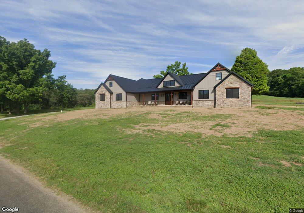
2018 Township Road 1095 Ashland, OH 44805
Estimated Value: $270,000 - $344,000
4
Beds
2
Baths
2,212
Sq Ft
$138/Sq Ft
Est. Value
About This Home
This home is located at 2018 Township Road 1095, Ashland, OH 44805 and is currently estimated at $304,501, approximately $137 per square foot. 2018 Township Road 1095 is a home located in Ashland County with nearby schools including Hillsdale Elementary School, Hillsdale Middle School, and Hillsdale High School.
Ownership History
Date
Name
Owned For
Owner Type
Purchase Details
Closed on
Oct 25, 2022
Sold by
Mosher Principal Protection Trust
Bought by
4K Farms Llc
Current Estimated Value
Home Financials for this Owner
Home Financials are based on the most recent Mortgage that was taken out on this home.
Original Mortgage
$595,000
Outstanding Balance
$572,677
Interest Rate
5.89%
Mortgage Type
New Conventional
Estimated Equity
-$268,176
Purchase Details
Closed on
May 18, 2006
Sold by
Mosher Virginia
Bought by
Mosher Fred G
Purchase Details
Closed on
Jan 1, 1990
Bought by
Mosher Virginia
Create a Home Valuation Report for This Property
The Home Valuation Report is an in-depth analysis detailing your home's value as well as a comparison with similar homes in the area
Home Values in the Area
Average Home Value in this Area
Purchase History
| Date | Buyer | Sale Price | Title Company |
|---|---|---|---|
| 4K Farms Llc | $700,000 | None Listed On Document | |
| Mosher Fred G | -- | -- | |
| Mosher Virginia | -- | -- |
Source: Public Records
Mortgage History
| Date | Status | Borrower | Loan Amount |
|---|---|---|---|
| Open | 4K Farms Llc | $595,000 |
Source: Public Records
Tax History Compared to Growth
Tax History
| Year | Tax Paid | Tax Assessment Tax Assessment Total Assessment is a certain percentage of the fair market value that is determined by local assessors to be the total taxable value of land and additions on the property. | Land | Improvement |
|---|---|---|---|---|
| 2024 | $1,584 | $89,040 | $11,900 | $77,140 |
| 2023 | $3,017 | $79,680 | $11,900 | $67,780 |
| 2022 | $2,352 | $54,960 | $8,210 | $46,750 |
| 2021 | $2,355 | $54,960 | $8,210 | $46,750 |
| 2020 | $2,211 | $54,960 | $8,210 | $46,750 |
| 2019 | $1,939 | $46,820 | $7,540 | $39,280 |
| 2018 | $1,877 | $46,820 | $7,540 | $39,280 |
| 2017 | $1,646 | $46,820 | $7,540 | $39,280 |
| 2016 | $1,646 | $40,710 | $6,550 | $34,160 |
| 2015 | $1,626 | $40,710 | $6,550 | $34,160 |
| 2013 | $1,808 | $42,280 | $6,580 | $35,700 |
Source: Public Records
Map
Nearby Homes
- 1106 County Road 30a
- 1183 County Road 30a
- 19 Maine St
- 1048 Township Road 2156
- 945 Pike Dr
- 3290 Shad Dr W
- 820 County Road 30a
- 0 Twp Rd 1806 Unit 11591470
- 775 Touby Ln
- 1015 Township Road 1696
- 1690 County Road 995
- 0 Mount Zion Rd Unit 9069748
- 2750 Lutz Ave
- 0 Township Road 925
- 1696 Township Road 1419
- 2495 Emma Ln
- 0 Satinwood Dr
- 150 E Main St
- 2000 County Road 1095
- 2000 Township Road 1095
- 1998 Township Road 1095
- 1994 Township Road 1095
- 1984 1095
- 1984 Township Road 1095
- 1111 County Road 30a
- 1105 County Road 30a
- 2046 Township Road 1095
- 1117 County Road 30a
- 1125 County Road 30a
- 2056 Township Road 1095
- 1127 County Road 30a
- 1118 County Road 30a
- 1970 County Road 1095
- 1970 1095
- 1122 County Road 30a
- 1116 County Road 30a Unit A
- 1970 Township Road 1095
- 1166 County Road 2075