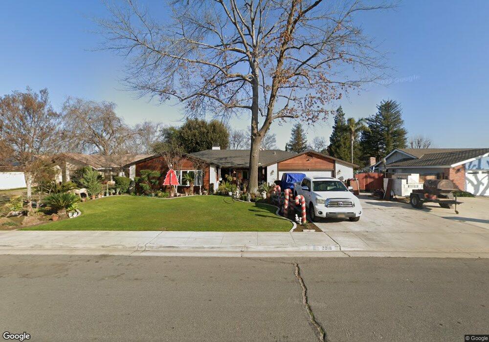
2018 Willow Brook St Bakersfield, CA 93314
Estimated Value: $450,000 - $590,000
4
Beds
3
Baths
1,826
Sq Ft
$272/Sq Ft
Est. Value
About This Home
This home is located at 2018 Willow Brook St, Bakersfield, CA 93314 and is currently estimated at $496,729, approximately $272 per square foot. 2018 Willow Brook St is a home located in Kern County with nearby schools including Centennial Elementary School, Rosedale Middle School, and Liberty High School.
Ownership History
Date
Name
Owned For
Owner Type
Purchase Details
Closed on
Jun 13, 2001
Sold by
Magnuson Mark and Magnason Brenda
Bought by
Nousch Eric J and Nousch Tanya L
Current Estimated Value
Home Financials for this Owner
Home Financials are based on the most recent Mortgage that was taken out on this home.
Original Mortgage
$145,500
Outstanding Balance
$55,424
Interest Rate
7.14%
Estimated Equity
$441,305
Create a Home Valuation Report for This Property
The Home Valuation Report is an in-depth analysis detailing your home's value as well as a comparison with similar homes in the area
Home Values in the Area
Average Home Value in this Area
Purchase History
| Date | Buyer | Sale Price | Title Company |
|---|---|---|---|
| Nousch Eric J | $150,000 | Commonwealth Land Title Co |
Source: Public Records
Mortgage History
| Date | Status | Borrower | Loan Amount |
|---|---|---|---|
| Open | Nousch Eric J | $145,500 |
Source: Public Records
Tax History
| Year | Tax Paid | Tax Assessment Tax Assessment Total Assessment is a certain percentage of the fair market value that is determined by local assessors to be the total taxable value of land and additions on the property. | Land | Improvement |
|---|---|---|---|---|
| 2025 | $3,035 | $221,574 | $73,854 | $147,720 |
| 2024 | $2,952 | $217,230 | $72,406 | $144,824 |
| 2023 | $2,952 | $212,972 | $70,987 | $141,985 |
| 2022 | $2,867 | $208,797 | $69,596 | $139,201 |
| 2021 | $2,756 | $204,704 | $68,232 | $136,472 |
| 2020 | $2,688 | $202,606 | $67,533 | $135,073 |
| 2019 | $2,635 | $202,606 | $67,533 | $135,073 |
| 2018 | $2,561 | $194,740 | $64,911 | $129,829 |
| 2017 | $2,510 | $190,923 | $63,639 | $127,284 |
| 2016 | $2,338 | $187,181 | $62,392 | $124,789 |
| 2015 | $2,317 | $184,370 | $61,455 | $122,915 |
| 2014 | $2,262 | $180,760 | $60,252 | $120,508 |
Source: Public Records
Map
Nearby Homes
- 14306 Westdale Dr
- 2065 Jenkins Rd
- 14035 Rosedale Hwy Unit 72
- 14035 Rosedale Hwy Unit 93
- 14035 Rosedale Hwy Unit 134
- 14035 Rosedale Hwy Unit 108
- 14035 Rosedale Hwy Unit 87
- 14035 Rosedale Hwy Unit 162
- 13417 Hinault Dr Unit 1
- 13804 Taradale Ct
- 14508 Harvest Crest Ave
- 13418 Giro Dr
- 1509 Renoir Ave
- 13309 Giro Dr Unit 1
- 13904 Fremantle Ct
- 13310 Dali Ave
- 14614 Tribute Way
- 13115 Hinault Dr Unit 1
- 1507 Pollen Crest Ct
- 14918 Thunder Valley Rd
- 2100 Willow Brook St
- 2012 Willow Brook St
- 2106 Willow Brook St
- 2006 Willow Brook St
- 2112 Willow Brook St
- 2000 Willow Brook St
- 2019 Deerfield St
- 2101 Deerfield St
- 2013 Deerfield St
- 2019 Willow Brook St
- 2101 Willow Brook St
- 2013 Willow Brook St
- 2118 Willow Brook St
- 1918 Willow Brook St
- 2107 Willow Brook St
- 2113 Deerfield St
- 2001 Deerfield St
- 2007 Willow Brook St
- 2107 Deerfield St
- 2007 Deerfield St
Your Personal Tour Guide
Ask me questions while you tour the home.