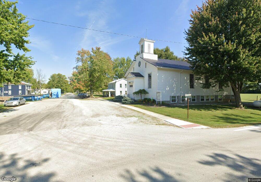
20183 Broadway St Upper Sandusky, OH 43351
Estimated Value: $114,000 - $281,000
4
Beds
1
Bath
1,792
Sq Ft
$110/Sq Ft
Est. Value
About This Home
This home is located at 20183 Broadway St, Upper Sandusky, OH 43351 and is currently estimated at $197,500, approximately $110 per square foot. 20183 Broadway St is a home located in Wyandot County with nearby schools including Upper Sandusky High School.
Ownership History
Date
Name
Owned For
Owner Type
Purchase Details
Closed on
Nov 8, 2024
Sold by
Dingus Christopher D and Verdugo Chelsea
Bought by
Basinger Jayme Renee
Current Estimated Value
Purchase Details
Closed on
Oct 18, 2008
Sold by
National Mortgage Llc
Bought by
Dingus Christopher D and Dingus Chelsea Verdugo
Purchase Details
Closed on
Mar 24, 2008
Sold by
Kenner Charles J and Kenner Krista L
Bought by
Nationstar Mortgage Llc
Purchase Details
Closed on
Dec 1, 2003
Bought by
Federal Home Loan Mtg Co
Create a Home Valuation Report for This Property
The Home Valuation Report is an in-depth analysis detailing your home's value as well as a comparison with similar homes in the area
Home Values in the Area
Average Home Value in this Area
Purchase History
| Date | Buyer | Sale Price | Title Company |
|---|---|---|---|
| Basinger Jayme Renee | -- | None Listed On Document | |
| Basinger Jayme Renee | -- | None Listed On Document | |
| Dingus Christopher D | -- | None Available | |
| Nationstar Mortgage Llc | $14,400 | None Available | |
| Federal Home Loan Mtg Co | $23,000 | -- |
Source: Public Records
Tax History Compared to Growth
Tax History
| Year | Tax Paid | Tax Assessment Tax Assessment Total Assessment is a certain percentage of the fair market value that is determined by local assessors to be the total taxable value of land and additions on the property. | Land | Improvement |
|---|---|---|---|---|
| 2024 | $62 | $1,600 | $1,600 | $0 |
| 2023 | $62 | $1,600 | $1,600 | $0 |
| 2022 | $62 | $1,460 | $1,460 | $0 |
| 2021 | $59 | $1,460 | $1,460 | $0 |
| 2020 | $59 | $1,460 | $1,460 | $0 |
| 2019 | $59 | $1,460 | $1,460 | $0 |
| 2018 | $58 | $1,460 | $1,460 | $0 |
| 2017 | $59 | $1,460 | $1,460 | $0 |
| 2016 | $57 | $1,460 | $1,460 | $0 |
| 2015 | -- | $1,460 | $1,460 | $0 |
| 2014 | -- | $1,460 | $1,460 | $0 |
| 2013 | -- | $1,460 | $1,460 | $0 |
Source: Public Records
Map
Nearby Homes
- 14471 Township Highway 71
- 18205 County Highway 96
- 16877 State Route 67
- 23385 Township Road 126
- 14319 County Highway 64
- 00 Osbun Rd Unit Lot 6
- 0 Osbun Rd Unit Lot 27 225032274
- 21109 State Route 67
- 3132 Decliff Rd N
- 3096 Decliff Rd N
- 10483 Township Road 225
- 15418 Ohio 37
- 6573 Main St
- 1193 Osbun Rd
- 7900 State Highway 294
- 18322 State Route 67
- 7367 Wyandot St
- 417 N Front St
- 13965 County Road 209
- 74 E School St
- 20172 Broadway St
- 20200 Broadway St
- 20182 Broadway St
- 20164 Broadway St
- 20237 Broadway St
- 20216 Broadway St
- 20128 Broadway St
- 20397 State Highway 37
- 20245 Broadway St
- 20120 Broadway St
- 20068 Broadway St
- 20201 State Highway 67
- 20201 Ohio 67
- 14478 County Highway 77
- 20201 Main St
- 20413 State Highway 37
- 14474 County Highway 77
- 20173 State Highway 67
- 20193 State Highway 67
- 20165 State Highway 67
