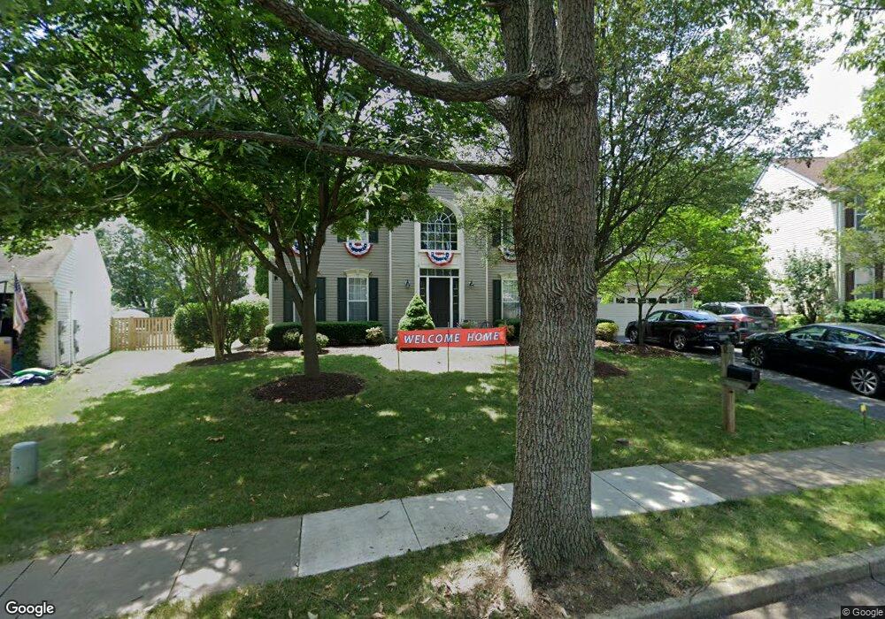
2019 Burnside Dr Frederick, MD 21702
Clover Hill NeighborhoodEstimated Value: $617,000 - $733,000
Studio
4
Baths
3,100
Sq Ft
$221/Sq Ft
Est. Value
About This Home
This home is located at 2019 Burnside Dr, Frederick, MD 21702 and is currently estimated at $685,997, approximately $221 per square foot. 2019 Burnside Dr is a home located in Frederick County with nearby schools including Monocacy Elementary School, Monocacy Middle School, and Gov. Thomas Johnson High School.
Ownership History
Date
Name
Owned For
Owner Type
Purchase Details
Closed on
Jul 7, 2020
Sold by
Charlebois Hannah Jeanne and Charlebois J H
Bought by
Charlebois Lori W
Current Estimated Value
Home Financials for this Owner
Home Financials are based on the most recent Mortgage that was taken out on this home.
Original Mortgage
$376,000
Outstanding Balance
$334,031
Interest Rate
3.2%
Mortgage Type
New Conventional
Estimated Equity
$351,966
Purchase Details
Closed on
Jun 8, 1999
Sold by
Nvr Inc
Bought by
Charlebois Howard J and Charlebois Lori W
Create a Home Valuation Report for This Property
The Home Valuation Report is an in-depth analysis detailing your home's value as well as a comparison with similar homes in the area
Home Values in the Area
Average Home Value in this Area
Purchase History
| Date | Buyer | Sale Price | Title Company |
|---|---|---|---|
| Charlebois Lori W | -- | None Available | |
| Charlebois Howard J | $241,830 | -- |
Source: Public Records
Mortgage History
| Date | Status | Borrower | Loan Amount |
|---|---|---|---|
| Open | Charlebois Lori W | $376,000 | |
| Closed | Charlebois Howard J | -- |
Source: Public Records
Tax History Compared to Growth
Tax History
| Year | Tax Paid | Tax Assessment Tax Assessment Total Assessment is a certain percentage of the fair market value that is determined by local assessors to be the total taxable value of land and additions on the property. | Land | Improvement |
|---|---|---|---|---|
| 2025 | $9,859 | $589,300 | $116,100 | $473,200 |
| 2024 | $9,859 | $533,100 | $0 | $0 |
| 2023 | $8,581 | $476,900 | $0 | $0 |
| 2022 | $7,553 | $420,700 | $106,100 | $314,600 |
| 2021 | $7,151 | $410,000 | $0 | $0 |
| 2020 | $7,151 | $399,300 | $0 | $0 |
| 2019 | $6,959 | $388,600 | $96,100 | $292,500 |
| 2018 | $6,957 | $385,100 | $0 | $0 |
| 2017 | $6,826 | $388,600 | $0 | $0 |
| 2016 | $6,140 | $378,100 | $0 | $0 |
| 2015 | $6,140 | $363,600 | $0 | $0 |
| 2014 | $6,140 | $349,100 | $0 | $0 |
Source: Public Records
Map
Nearby Homes
- 102 Sunlight Dr
- 1944 Crossing Stone Ct
- 111 Harpers Way
- 97 Webb Ct
- 1949 Fieldstone Way
- 2075 Buell Dr
- 1941 Harpers Ct
- 191 Midsummer Dr
- 113 Fieldstone Ct
- 108 Wheeler Ln
- 2015 Rosecrans Ct
- 2011 Weitzel Ct
- 2030 Rosecrans Ct
- 2026 Weitzel Ct
- 1905 Antero Ct
- 7176 Meadowbrooke Dr
- 320 Hammersmith Cir
- 7193 W Sundown Ct
- Delphi Homesite Special Plan at Bloomfields - 55+ Active Adult Single-Family Homes
- Dominica Spring Plan at Bloomfields - 55+ Single Family Homes
- 2021 Burnside Dr
- 2017 Burnside Dr
- 2023 Burnside Dr
- 1948 Timber Grove Rd
- 1946 Timber Grove Rd
- 8403 Opossumtown Pike
- 1950 Timber Grove Rd
- 2020 Burnside Dr
- 2022 Burnside Dr
- 1944 Timber Grove Rd
- 2018 Burnside Dr
- 1942 Timber Grove Rd
- 1942 Timber Grove Rd
- 97 Burnside Ct
- 1952 Timber Grove Rd
- 92 Cumberland Ct
- 2016 Burnside Dr
- 2025 Burnside Dr
- 99 Burnside Ct
- 1945 Timber Grove Rd