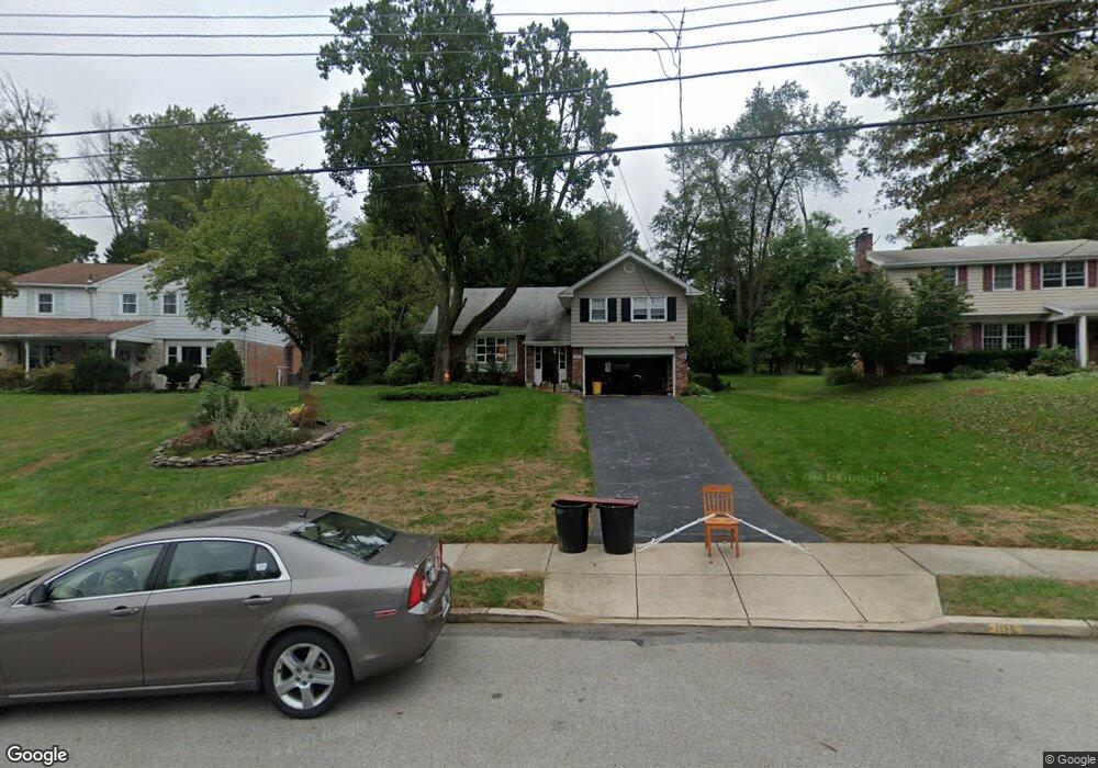
2019 Cedar Ln Flourtown, PA 19031
Estimated Value: $614,000 - $710,000
4
Beds
3
Baths
2,667
Sq Ft
$246/Sq Ft
Est. Value
About This Home
This home is located at 2019 Cedar Ln, Flourtown, PA 19031 and is currently estimated at $656,665, approximately $246 per square foot. 2019 Cedar Ln is a home located in Montgomery County with nearby schools including Erdenheim Elementary School, Enfield Elementary School, and Springfield Township Middle School.
Ownership History
Date
Name
Owned For
Owner Type
Purchase Details
Closed on
Jun 23, 2005
Sold by
Mcmonagle Robert P and Brady Martha Jean
Bought by
Congdon Franklin E and Congdon Jane M
Current Estimated Value
Home Financials for this Owner
Home Financials are based on the most recent Mortgage that was taken out on this home.
Original Mortgage
$317,600
Outstanding Balance
$165,272
Interest Rate
5.71%
Mortgage Type
New Conventional
Estimated Equity
$491,393
Purchase Details
Closed on
Jan 21, 2000
Sold by
Firth Joseph F
Bought by
Mcmonagle Robert P and Brady Martha Jean
Create a Home Valuation Report for This Property
The Home Valuation Report is an in-depth analysis detailing your home's value as well as a comparison with similar homes in the area
Home Values in the Area
Average Home Value in this Area
Purchase History
| Date | Buyer | Sale Price | Title Company |
|---|---|---|---|
| Congdon Franklin E | $397,000 | -- | |
| Mcmonagle Robert P | $219,000 | -- |
Source: Public Records
Mortgage History
| Date | Status | Borrower | Loan Amount |
|---|---|---|---|
| Open | Congdon Franklin E | $317,600 |
Source: Public Records
Tax History Compared to Growth
Tax History
| Year | Tax Paid | Tax Assessment Tax Assessment Total Assessment is a certain percentage of the fair market value that is determined by local assessors to be the total taxable value of land and additions on the property. | Land | Improvement |
|---|---|---|---|---|
| 2025 | $8,614 | $182,860 | $49,070 | $133,790 |
| 2024 | $8,614 | $182,860 | $49,070 | $133,790 |
| 2023 | $8,313 | $182,860 | $49,070 | $133,790 |
| 2022 | $8,075 | $182,860 | $49,070 | $133,790 |
| 2021 | $7,864 | $182,860 | $49,070 | $133,790 |
| 2020 | $7,680 | $182,860 | $49,070 | $133,790 |
| 2019 | $7,562 | $182,860 | $49,070 | $133,790 |
| 2018 | $7,562 | $182,860 | $49,070 | $133,790 |
| 2017 | $7,219 | $182,860 | $49,070 | $133,790 |
| 2016 | $7,148 | $182,860 | $49,070 | $133,790 |
| 2015 | $6,794 | $182,860 | $49,070 | $133,790 |
| 2014 | $6,794 | $182,860 | $49,070 | $133,790 |
Source: Public Records
Map
Nearby Homes
- 2106 Carolton Way
- 312 E Mill Rd
- 6326 Farmar Ln
- 6274 W Valley Green Rd
- 1709 Church Rd
- 9 Comly Ct
- 1203 Wedgewood Rd
- 28 Grove Ave
- 611 Creek Ln
- Redford Plan at The Towns at Pennybrook
- 1508 Niessen Rd
- 405 Pennybrook Ct Unit 3 REDFORD INTERIOR
- 407 Pennybrook Ct Unit 4 REDFORD END
- 001 Pennybrook Ct Unit REDFORD INTERIOR
- 401 Pennybrook Ct Unit 1 REDFORD END
- 403 Pennybrook Ct Unit 2 REDFORD INTERIOR
- 406 Pennybrook Ct Unit 14 REDFORD INTERIOR
- 408 Pennybrook Ct Unit 13 REDFORD END
- 404 Pennybrook Ct Unit 15 REDFORD INTERIOR
- 1500 Allen Rd
- 2017 Cedar Ln
- 2021 Cedar Ln
- 409 Cedar Ln
- 2015 Cedar Ln
- 2016 Cedar Ln
- 404 Cedar Ln
- 407 Cedar Ln
- 2014 Cedar Ln
- 214 Sunnybrook Rd
- 218 Sunnybrook Rd
- 220 Sunnybrook Rd
- 2014 Hilltop Rd
- 405 Cedar Ln
- 210 Sunnybrook Rd
- 224 Sunnybrook Rd
- 2012 Hilltop Rd
- 226 Sunnybrook Rd
- 400 Cedar Ln
- 2017 Carolton Way
- 401 Cedar Ln