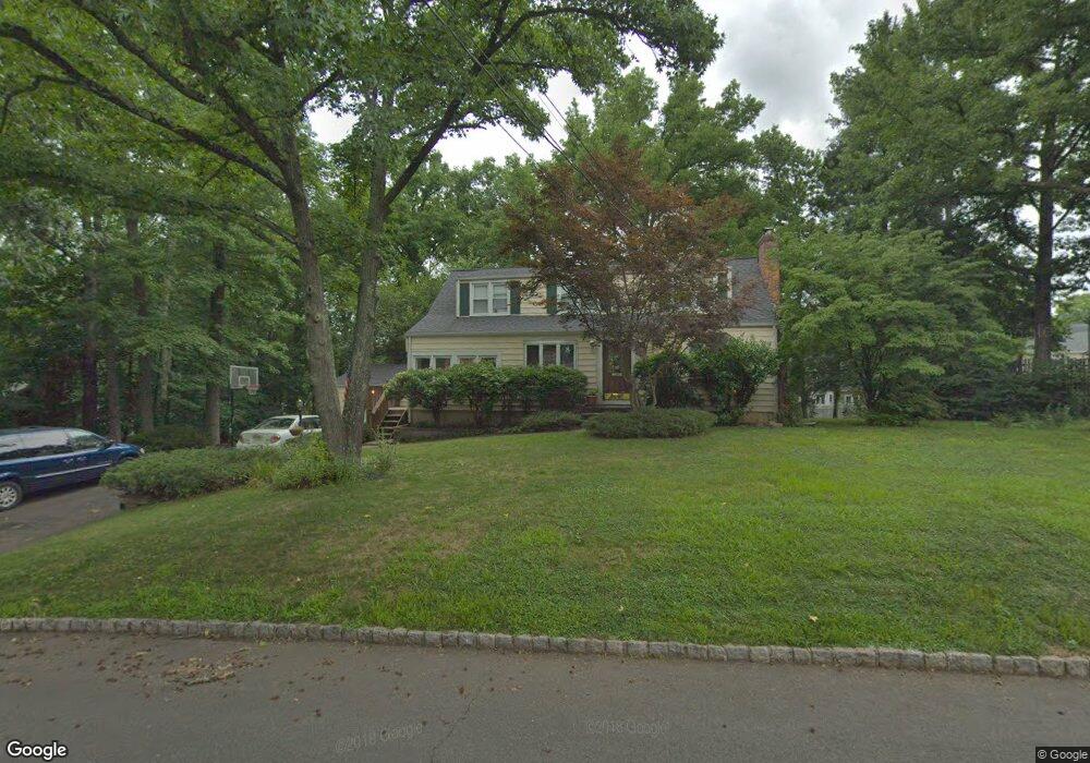
2019 Hill Top Rd Scotch Plains, NJ 07076
Estimated Value: $668,000 - $1,149,000
--
Bed
--
Bath
--
Sq Ft
0.42
Acres
About This Home
This home is located at 2019 Hill Top Rd, Scotch Plains, NJ 07076 and is currently estimated at $892,703. 2019 Hill Top Rd is a home located in Union County with nearby schools including William J. McGinn Elementary School, Terrill Middle School, and Scotch Plains-Fanwood High School.
Ownership History
Date
Name
Owned For
Owner Type
Purchase Details
Closed on
Jun 9, 1998
Sold by
Poquette Jean A and Poquette Stephanie
Bought by
Bagdonas John P and Bagdonas Jean T
Current Estimated Value
Home Financials for this Owner
Home Financials are based on the most recent Mortgage that was taken out on this home.
Original Mortgage
$212,000
Outstanding Balance
$42,633
Interest Rate
7.11%
Estimated Equity
$850,070
Create a Home Valuation Report for This Property
The Home Valuation Report is an in-depth analysis detailing your home's value as well as a comparison with similar homes in the area
Home Values in the Area
Average Home Value in this Area
Purchase History
| Date | Buyer | Sale Price | Title Company |
|---|---|---|---|
| Bagdonas John P | $265,000 | -- |
Source: Public Records
Mortgage History
| Date | Status | Borrower | Loan Amount |
|---|---|---|---|
| Open | Bagdonas John P | $212,000 |
Source: Public Records
Tax History Compared to Growth
Tax History
| Year | Tax Paid | Tax Assessment Tax Assessment Total Assessment is a certain percentage of the fair market value that is determined by local assessors to be the total taxable value of land and additions on the property. | Land | Improvement |
|---|---|---|---|---|
| 2025 | $13,769 | $117,000 | $44,700 | $72,300 |
| 2024 | $13,363 | $117,000 | $44,700 | $72,300 |
| 2023 | $13,363 | $117,000 | $44,700 | $72,300 |
| 2022 | $13,203 | $117,000 | $44,700 | $72,300 |
| 2021 | $13,181 | $117,000 | $44,700 | $72,300 |
| 2020 | $13,118 | $117,000 | $44,700 | $72,300 |
| 2019 | $13,021 | $117,000 | $44,700 | $72,300 |
| 2018 | $12,802 | $117,000 | $44,700 | $72,300 |
| 2017 | $12,518 | $117,000 | $44,700 | $72,300 |
| 2016 | $12,277 | $117,000 | $44,700 | $72,300 |
| 2015 | $12,076 | $117,000 | $44,700 | $72,300 |
| 2014 | $11,678 | $117,000 | $44,700 | $72,300 |
Source: Public Records
Map
Nearby Homes
- 1933 Mary Ellen Ln
- 1933 W Broad St
- 2116 Newark Ave
- 2154 W Broad St
- 2 Brookside Ct
- 187 King St
- 119 Lamberts Mill Rd
- 2212 Shady Ln
- 5 Robin Rd
- 120 S Martine Ave
- 345 La Grande Ave
- 2219 North Ave Unit 6
- 2314 Longfellow Ave
- 40 1st St
- 21 Old South Ave
- 1466 Lamberts Mill Rd
- 314 Highgate Ave
- 36 2nd St
- 57 Rambling Dr
- 32 Gere Place
- 2013 Hill Top Rd
- 1202 Maple Hill Rd
- 1198 Maple Hill Rd
- 2025 Hill Top Rd
- 1192 Maple Hill Rd
- 1208 Maple Hill Rd
- 2010 Hill Top Rd
- 2011 Hill Top Rd
- 2041 Hill Top Rd
- 1186 Maple Hill Rd
- 2008 Hill Top Rd
- 2022 Hill Top Rd
- 2028 Hill Top Rd
- 1240 White Oak Rd
- 1195 Maple Hill Rd
- 1180 Maple Hill Rd
- 1203 Maple Hill Rd
- 2009 Hill Top Rd
- 2034 Hill Top Rd
- 2006 Hill Top Rd