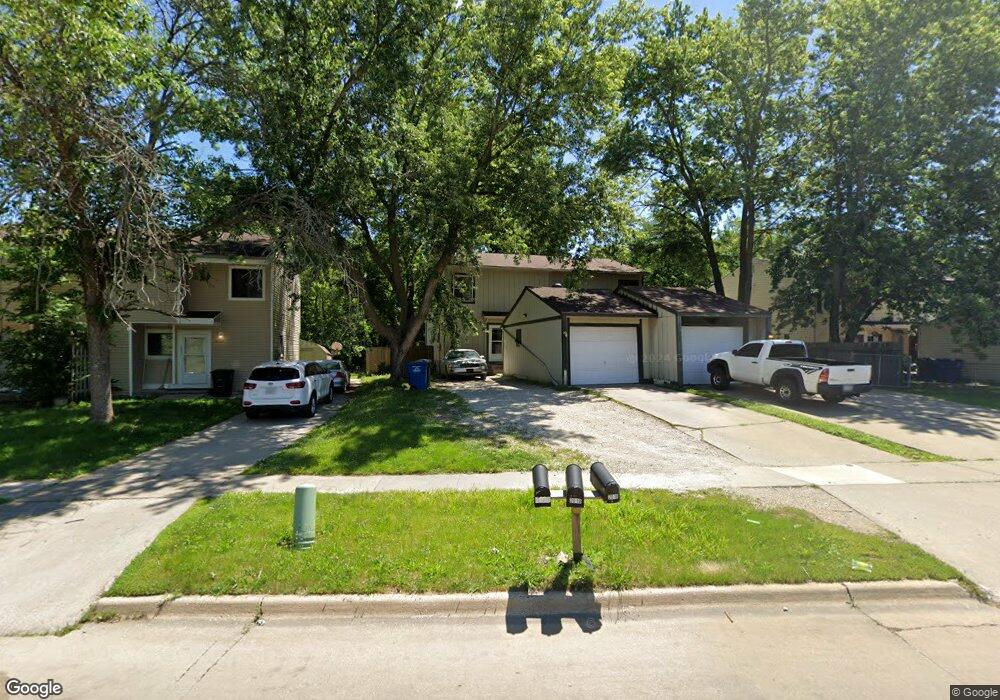
2019 King Ave Des Moines, IA 50320
Pioneer Park NeighborhoodEstimated Value: $139,000 - $160,000
3
Beds
2
Baths
1,172
Sq Ft
$128/Sq Ft
Est. Value
About This Home
This home is located at 2019 King Ave, Des Moines, IA 50320 and is currently estimated at $149,630, approximately $127 per square foot. 2019 King Ave is a home located in Polk County with nearby schools including River Woods Elementary School, Weeks Middle School, and St. Anthony Elementary School.
Ownership History
Date
Name
Owned For
Owner Type
Purchase Details
Closed on
May 19, 2022
Sold by
Tilton Mark E and Tilton Roberta A
Bought by
Tilton-Mcafee Familyrevocable Living Trust
Current Estimated Value
Purchase Details
Closed on
Oct 1, 2002
Sold by
Hud
Bought by
Mcafee Roberta A
Home Financials for this Owner
Home Financials are based on the most recent Mortgage that was taken out on this home.
Original Mortgage
$60,000
Interest Rate
6.39%
Purchase Details
Closed on
May 21, 1997
Sold by
Peterson Paul D and Peterson Susan M
Bought by
Thorpe Lyn D
Home Financials for this Owner
Home Financials are based on the most recent Mortgage that was taken out on this home.
Original Mortgage
$55,675
Interest Rate
8.17%
Mortgage Type
FHA
Create a Home Valuation Report for This Property
The Home Valuation Report is an in-depth analysis detailing your home's value as well as a comparison with similar homes in the area
Home Values in the Area
Average Home Value in this Area
Purchase History
| Date | Buyer | Sale Price | Title Company |
|---|---|---|---|
| Tilton-Mcafee Familyrevocable Living Trust | -- | None Listed On Document | |
| Mcafee Roberta A | -- | First American Title | |
| Thorpe Lyn D | $55,500 | -- |
Source: Public Records
Mortgage History
| Date | Status | Borrower | Loan Amount |
|---|---|---|---|
| Previous Owner | Mcafee Roberta A | $60,000 | |
| Previous Owner | Thorpe Lyn D | $55,675 |
Source: Public Records
Tax History Compared to Growth
Tax History
| Year | Tax Paid | Tax Assessment Tax Assessment Total Assessment is a certain percentage of the fair market value that is determined by local assessors to be the total taxable value of land and additions on the property. | Land | Improvement |
|---|---|---|---|---|
| 2025 | $2,122 | $130,500 | $16,500 | $114,000 |
| 2024 | $2,122 | $107,900 | $13,600 | $94,300 |
| 2023 | $2,020 | $107,900 | $13,600 | $94,300 |
| 2022 | $2,004 | $85,700 | $11,100 | $74,600 |
| 2021 | $2,008 | $85,700 | $11,100 | $74,600 |
| 2020 | $2,086 | $80,500 | $10,300 | $70,200 |
| 2019 | $2,096 | $80,500 | $10,300 | $70,200 |
| 2018 | $2,076 | $78,000 | $9,700 | $68,300 |
| 2017 | $2,006 | $78,000 | $9,700 | $68,300 |
| 2016 | $1,956 | $74,200 | $10,400 | $63,800 |
| 2015 | $1,956 | $74,200 | $10,400 | $63,800 |
| 2014 | $1,737 | $65,400 | $9,100 | $56,300 |
Source: Public Records
Map
Nearby Homes
- 1943 E Bell Ave
- 2618 SE 18th Ct
- 1847 Virginia Cir
- 2518 SE 18th St
- 3214 SE 20th St
- 1834 E Park Ave
- 2909 Shadow Creek Ln
- 3307 SE 19th St
- 3406 SE 19th Ct
- 2735 SE 17th St
- 3024 Deerpath Ct
- 1635 E Virginia Ave
- 3507 SE 18th Ct
- 2351 Shadow Creek Cir
- 3006 Timber Hill Ct
- 3506 SE 20th St
- 1843 Evergreen Ave
- 1534 King Ave
- 3017 Timber Hill Ct
- 2218 E Caulder Ct