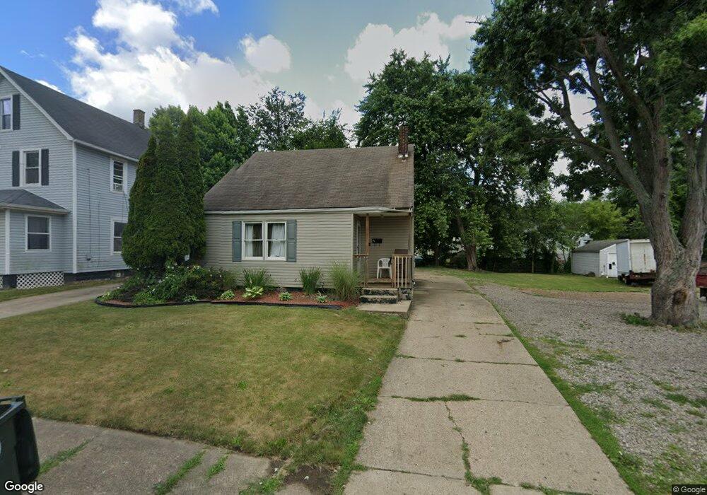
2019 Maple Ave NE Canton, OH 44714
Colonial Heights NeighborhoodEstimated Value: $107,000 - $144,000
3
Beds
1
Bath
1,254
Sq Ft
$96/Sq Ft
Est. Value
About This Home
This home is located at 2019 Maple Ave NE, Canton, OH 44714 and is currently estimated at $120,456, approximately $96 per square foot. 2019 Maple Ave NE is a home located in Stark County with nearby schools including Belle Stone Elementary School, Early Learning Center @ Schreiber, and Youtz Intermediate School.
Ownership History
Date
Name
Owned For
Owner Type
Purchase Details
Closed on
Sep 13, 2022
Sold by
Ruffin Cecily T
Bought by
Ruffin Holdings Llc
Current Estimated Value
Purchase Details
Closed on
Apr 26, 2002
Sold by
Burleson Dennis J
Bought by
Ruffin Cecily T
Home Financials for this Owner
Home Financials are based on the most recent Mortgage that was taken out on this home.
Original Mortgage
$64,055
Interest Rate
7.18%
Mortgage Type
Purchase Money Mortgage
Purchase Details
Closed on
Feb 15, 1999
Sold by
Bairino Addie R
Bought by
Lehman Don D
Purchase Details
Closed on
Feb 5, 1999
Sold by
Estate Of Nathaniel Barrino
Bought by
Barrino Addie R
Create a Home Valuation Report for This Property
The Home Valuation Report is an in-depth analysis detailing your home's value as well as a comparison with similar homes in the area
Home Values in the Area
Average Home Value in this Area
Purchase History
| Date | Buyer | Sale Price | Title Company |
|---|---|---|---|
| Ruffin Holdings Llc | -- | -- | |
| Ruffin Cecily T | $71,900 | -- | |
| Lehman Don D | $36,000 | -- | |
| Barrino Addie R | -- | -- |
Source: Public Records
Mortgage History
| Date | Status | Borrower | Loan Amount |
|---|---|---|---|
| Previous Owner | Ruffin Cecily T | $64,055 | |
| Closed | Ruffin Cecily T | $3,852 |
Source: Public Records
Tax History
| Year | Tax Paid | Tax Assessment Tax Assessment Total Assessment is a certain percentage of the fair market value that is determined by local assessors to be the total taxable value of land and additions on the property. | Land | Improvement |
|---|---|---|---|---|
| 2025 | $741 | $30,950 | $8,300 | $22,650 |
| 2024 | -- | $30,950 | $8,300 | $22,650 |
| 2023 | $2,326 | $24,290 | $5,320 | $18,970 |
| 2022 | $1,405 | $24,290 | $5,320 | $18,970 |
| 2021 | $1,420 | $24,290 | $5,320 | $18,970 |
| 2020 | $1,305 | $19,890 | $4,310 | $15,580 |
| 2019 | $1,133 | $19,680 | $4,310 | $15,370 |
Source: Public Records
Map
Nearby Homes
- 0 Dover Ave NE
- 1528 22nd St NE
- 2015 Gross Ave NE
- 1610 23rd St NE
- 1607 18th St NE
- 1416 19th St NE
- 1624 May Place NE
- 0 Rowland Ave NE Unit 5089960
- 1610 Colonial Blvd NE
- 2111 21st St NE
- 2010 18th St NE
- 1410 Colonial Blvd NE
- 1218 24th St NE
- 1517 16th St NE
- 1129 Barton Place NE
- 1210 17th St NE
- 1022 19th St NE
- 1805 Gibbs Ave NE
- 1716 Gibbs Ave NE
- 2211 17th St NE
- 2025 Maple Ave NE
- 2009 Maple Ave NE
- 2105 Maple Ave NE
- 2014 Snyder Ave NE
- 2018 Snyder Ave NE
- 2005 Maple Ave NE
- 1643 20th St NE
- 2010 Snyder Ave NE
- 2102 Snyder Ave NE
- 2115 Maple Ave NE
- 2018 Maple Ave NE
- 2106 Snyder Ave NE
- 2012 Maple Ave NE
- 2020 Maple Ave NE
- 2006 Maple Ave NE
- 1633 20th St NE
- 2100 Maple Ave NE
- 1939 Maple Ave NE
- 2000 Maple Ave NE
- 2119 Maple Ave NE
Your Personal Tour Guide
Ask me questions while you tour the home.