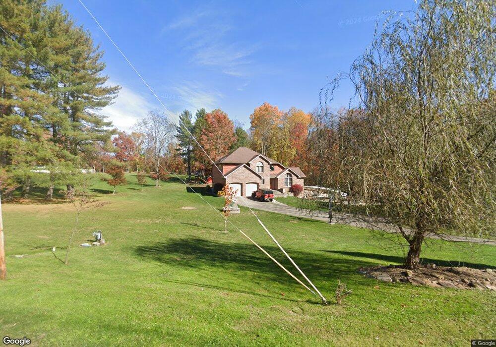
2019 Station Rd Latrobe, PA 15650
Estimated Value: $143,175 - $482,000
Studio
--
Bath
1,782
Sq Ft
$196/Sq Ft
Est. Value
About This Home
This home is located at 2019 Station Rd, Latrobe, PA 15650 and is currently estimated at $348,794, approximately $195 per square foot. 2019 Station Rd is a home located in Westmoreland County with nearby schools including Greater Latrobe Junior High School, Greater Latrobe Senior High School, and High Acres School.
Ownership History
Date
Name
Owned For
Owner Type
Purchase Details
Closed on
Apr 18, 2005
Sold by
Slagle Clara and Ziska Esther
Bought by
Lesko Michael A and Wyzkiewicz Melissa R
Current Estimated Value
Create a Home Valuation Report for This Property
The Home Valuation Report is an in-depth analysis detailing your home's value as well as a comparison with similar homes in the area
Home Values in the Area
Average Home Value in this Area
Purchase History
| Date | Buyer | Sale Price | Title Company |
|---|---|---|---|
| Lesko Michael A | $26,000 | -- |
Source: Public Records
Tax History
| Year | Tax Paid | Tax Assessment Tax Assessment Total Assessment is a certain percentage of the fair market value that is determined by local assessors to be the total taxable value of land and additions on the property. | Land | Improvement |
|---|---|---|---|---|
| 2026 | $4,228 | $34,750 | $1,580 | $33,170 |
| 2025 | $4,194 | $34,750 | $1,580 | $33,170 |
| 2024 | $4,194 | $34,750 | $1,580 | $33,170 |
| 2023 | $3,846 | $34,750 | $1,580 | $33,170 |
| 2022 | $3,846 | $34,750 | $1,580 | $33,170 |
| 2021 | $3,812 | $34,750 | $1,580 | $33,170 |
| 2020 | $3,751 | $34,750 | $1,580 | $33,170 |
| 2019 | $3,699 | $34,750 | $1,580 | $33,170 |
| 2018 | $3,681 | $34,750 | $1,580 | $33,170 |
| 2017 | $3,586 | $34,750 | $1,580 | $33,170 |
| 2016 | $841 | $34,750 | $1,580 | $33,170 |
| 2015 | $841 | $34,750 | $1,580 | $33,170 |
| 2014 | -- | $34,750 | $1,580 | $33,170 |
Source: Public Records
Map
Nearby Homes
- 5009 Linwood Court (Lot #206)
- 1212 Mountain View Dr
- 1127 Mckenna Way
- T-604 Frye Farm Rd
- 1580 Lois Ln
- 1582 Lois Ln Unit Lot 11 B
- 1614 Lois Ln
- 3009 Glengary Dr
- 104 Dellview Ct
- 659 Alexander Rd
- 3028 Ben Venue Dr
- 214 Denali Dr Unit 856B
- 74 Quail Run
- 106 Yellowstone Dr
- 72 Unity Square Unit 72
- 307 Persian Ln
- 470 Donohoe Rd
- 6004 Mason Dr
- 915 Jamell Dr
- 14 Sassafras Ln
- 2011 Station Rd
- 2018 Station Rd
- 2001 Station Rd
- 2010 Station Rd
- Lot 2 Station Rd
- 2002 Station Rd
- 234 Carney Rd
- 1000 Valleyview Dr
- 229 Carney Rd
- 1004 Valleyview Dr
- 1101 Lauralynn Dr
- 1105 Lauralynn Dr
- 0 Carney Rd Unit 1214605
- 0 Carney Rd Unit 1214636
- 0 Carney Rd Unit 855648
- 1102 Lauralynn Dr
- 1104 Lauralynn Dr
- 1109 Lauralynn Dr
- 233 Carney Rd
- 1007 Valleyview Dr
Your Personal Tour Guide
Ask me questions while you tour the home.