2019 Westridge Ct Buffalo, MN 55313
Estimated Value: $954,000 - $1,126,000
4
Beds
4
Baths
4,256
Sq Ft
$246/Sq Ft
Est. Value
About This Home
This home is located at 2019 Westridge Ct, Buffalo, MN 55313 and is currently estimated at $1,045,258, approximately $245 per square foot. 2019 Westridge Ct is a home located in Wright County with nearby schools including Northwinds Elementary School, Buffalo Community Middle School, and Buffalo Senior High School.
Ownership History
Date
Name
Owned For
Owner Type
Purchase Details
Closed on
Feb 19, 2021
Sold by
Hageman Robert and Hageman Colleen J
Bought by
Schirm Benjamin and Schirm Danielle
Current Estimated Value
Home Financials for this Owner
Home Financials are based on the most recent Mortgage that was taken out on this home.
Original Mortgage
$548,250
Outstanding Balance
$489,925
Interest Rate
2.65%
Mortgage Type
New Conventional
Estimated Equity
$555,333
Create a Home Valuation Report for This Property
The Home Valuation Report is an in-depth analysis detailing your home's value as well as a comparison with similar homes in the area
Home Values in the Area
Average Home Value in this Area
Purchase History
| Date | Buyer | Sale Price | Title Company |
|---|---|---|---|
| Schirm Benjamin | $812,000 | Central Land Ttl Guarantee C | |
| Schirm Benjamin Benjamin | $812,000 | -- |
Source: Public Records
Mortgage History
| Date | Status | Borrower | Loan Amount |
|---|---|---|---|
| Open | Schirm Benjamin | $548,250 | |
| Closed | Schirm Benjamin Benjamin | $723,470 |
Source: Public Records
Tax History Compared to Growth
Tax History
| Year | Tax Paid | Tax Assessment Tax Assessment Total Assessment is a certain percentage of the fair market value that is determined by local assessors to be the total taxable value of land and additions on the property. | Land | Improvement |
|---|---|---|---|---|
| 2025 | $14,522 | $1,009,000 | $489,000 | $520,000 |
| 2024 | $13,438 | $974,200 | $478,700 | $495,500 |
| 2023 | $13,260 | $947,000 | $447,800 | $499,200 |
| 2022 | $13,344 | $870,600 | $427,200 | $443,400 |
| 2021 | $14,272 | $796,600 | $417,000 | $379,600 |
| 2020 | $13,288 | $829,100 | $456,900 | $372,200 |
| 2019 | $11,614 | $752,400 | $0 | $0 |
| 2018 | $11,276 | $701,600 | $0 | $0 |
| 2017 | $10,520 | $678,700 | $0 | $0 |
| 2016 | $10,220 | $0 | $0 | $0 |
| 2015 | $9,696 | $0 | $0 | $0 |
| 2014 | -- | $0 | $0 | $0 |
Source: Public Records
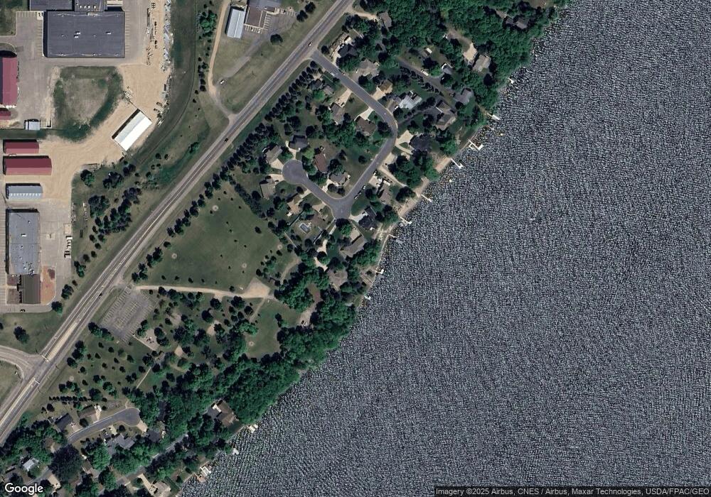
Map
Nearby Homes
- 2230 Lake Pulaski Dr
- 1435 Pulaski Rd
- 1430 Pulaski Rd
- 2015 Pulaski Rd
- 1800 Hawk Trail
- 1305 Lakeside Cir
- 1219 Lakeview Pkwy
- 1801 Hawk Trail
- 608 Vendell St
- 198 35th St NE
- 1906 Hawk Trail
- 212 Greenbriar Ln
- 309 Leksand Ln
- 1402 Bluebill Blvd
- 2005 Buffalo Ridge Dr
- 2600 Arbor Dr
- 604 Upplanda St
- 2018 Kestrel Trail
- 1023 Ivy Ridge Terrace
- 604 Sunset St
- 2021 Westridge Ct
- 2017 Westridge Ct
- 2023 Westridge Ct
- 2015 Westridge Ct
- 2006 Westridge Ct
- 2025 Westridge Ct
- 2008 Westridge Ct
- 2027 Westridge Ct
- 2004 Westridge Ct
- 2011 Westridge Ct
- 2010 Westridge Ct
- 2002 Westridge Ct
- 2012 Westridge Ct
- 2009 Westridge Ct
- 2007 Westridge Ct
- 5209 Westridge Ct
- 2000 Westridge Ct
- 2005 Westridge Ct
- 2003 Westridge Ct
- 2102 Highway 25 N