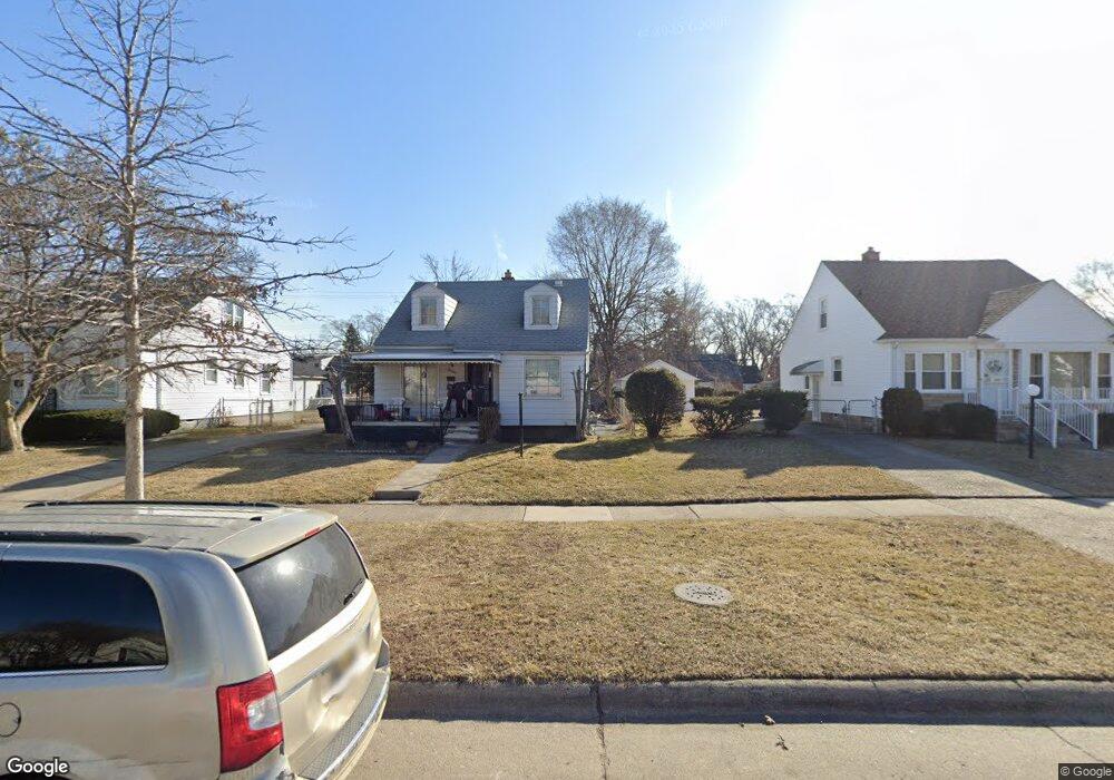
20194 Harned St Detroit, MI 48234
Butler NeighborhoodEstimated Value: $60,000 - $83,000
3
Beds
2
Baths
988
Sq Ft
$74/Sq Ft
Est. Value
About This Home
This home is located at 20194 Harned St, Detroit, MI 48234 and is currently estimated at $73,429, approximately $74 per square foot. 20194 Harned St is a home located in Wayne County with nearby schools including Nolan Elementary/Middle School, Edward 'Duke' Ellington Conservatory of Music and Art, and Charles L. Spain Elementary-Middle School.
Ownership History
Date
Name
Owned For
Owner Type
Purchase Details
Closed on
May 19, 2022
Sold by
Darrell Adams
Bought by
Smith Renard
Current Estimated Value
Purchase Details
Closed on
Nov 18, 2011
Sold by
Wojtowicz Raymond J
Bought by
Darrell Adams Llc
Purchase Details
Closed on
Mar 9, 2007
Sold by
Bates Waldene and Bates Eugene
Bought by
Bates Waldene and Revocable Declaration Of Trust Of Walden
Purchase Details
Closed on
Jul 31, 2004
Sold by
Bates Waldene
Bought by
Bates Eugene
Create a Home Valuation Report for This Property
The Home Valuation Report is an in-depth analysis detailing your home's value as well as a comparison with similar homes in the area
Home Values in the Area
Average Home Value in this Area
Purchase History
| Date | Buyer | Sale Price | Title Company |
|---|---|---|---|
| Smith Renard | $500 | None Listed On Document | |
| Darrell Adams Llc | $1,900 | None Available | |
| Bates Waldene | -- | None Available | |
| Bates Eugene | $45,000 | -- |
Source: Public Records
Tax History Compared to Growth
Tax History
| Year | Tax Paid | Tax Assessment Tax Assessment Total Assessment is a certain percentage of the fair market value that is determined by local assessors to be the total taxable value of land and additions on the property. | Land | Improvement |
|---|---|---|---|---|
| 2025 | $1,737 | $27,500 | $0 | $0 |
| 2024 | $1,737 | $23,400 | $0 | $0 |
| 2023 | $1,687 | $18,800 | $0 | $0 |
| 2022 | $981 | $16,000 | $0 | $0 |
| 2021 | $956 | $12,800 | $0 | $0 |
| 2020 | $956 | $11,000 | $0 | $0 |
| 2019 | $943 | $8,700 | $0 | $0 |
| 2018 | $837 | $7,800 | $0 | $0 |
| 2017 | $144 | $7,600 | $0 | $0 |
| 2016 | $1,263 | $22,100 | $0 | $0 |
| 2015 | $1,350 | $13,500 | $0 | $0 |
| 2013 | $1,683 | $16,828 | $0 | $0 |
| 2010 | -- | $24,671 | $1,479 | $23,192 |
Source: Public Records
Map
Nearby Homes
- 20121 Mitchell St
- 20021 Mackay St
- 23421 Harned St Unit 4
- 23429 Harned St Unit 5
- 23485 Harned St Unit 10
- 20156 Gallagher St
- 23420 Harned St Unit 1
- 19958 Harned St
- 20037 Gallagher St
- 19948 Mitchell St
- 20028 Gallagher St
- 20048 Fleming St
- 19951 Mackay St
- 20491 Klinger St
- 20209 Revere St
- 20021 Fleming St
- 20181 Lumpkin St
- 20138 Norwood St
- 20120 Norwood St
- 20201 Yonka St
- 20204 Harned St
- 20182 Harned St
- 20212 Harned St
- 20174 Harned St
- 20197 Mitchell St
- 20187 Mitchell St
- 20205 Mitchell St
- 20181 Mitchell St
- 20224 Harned St
- 20211 Mitchell St
- 20150 Harned St
- 20173 Mitchell St
- 20221 Mitchell St
- 20197 Harned St
- 20191 Harned St
- 20234 Harned St
- 20165 Mitchell St
- 20207 Harned St
- 20179 Harned St
- 20146 Harned St