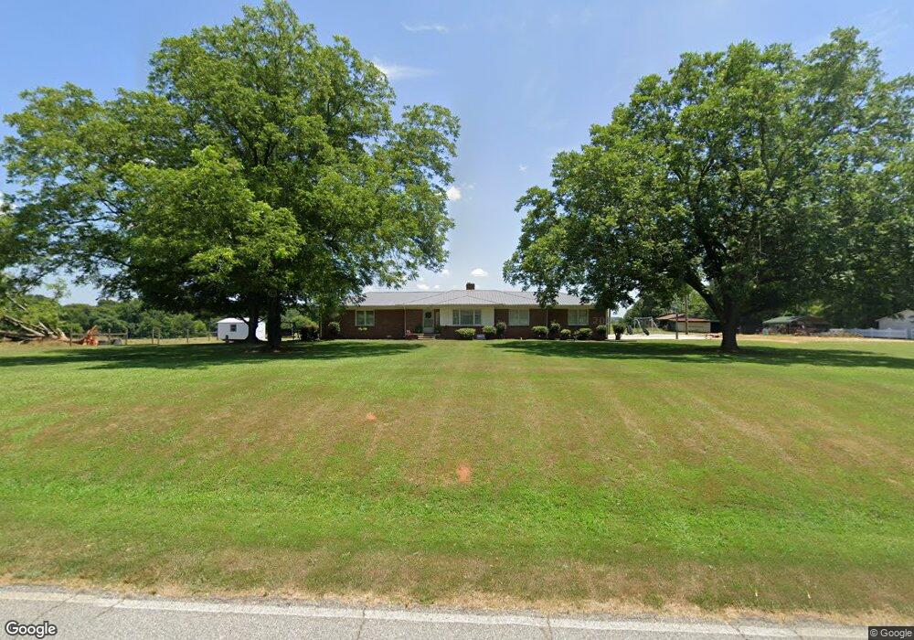
202 A M Ellison Rd Anderson, SC 29621
Williamston-Pelzer NeighborhoodEstimated Value: $207,975 - $366,000
--
Bed
--
Bath
2,124
Sq Ft
$145/Sq Ft
Est. Value
About This Home
This home is located at 202 A M Ellison Rd, Anderson, SC 29621 and is currently estimated at $308,994, approximately $145 per square foot. 202 A M Ellison Rd is a home with nearby schools including Spearman Elementary School, Wren Middle School, and Wren High School.
Ownership History
Date
Name
Owned For
Owner Type
Purchase Details
Closed on
Sep 30, 2019
Sold by
Perrotte Marsha K and Holland Lila Elizabeth
Bought by
Moore Ansley S
Current Estimated Value
Purchase Details
Closed on
Aug 8, 2019
Sold by
Holland Lila E and Perrotte Marsha K
Bought by
Keaton Edna
Purchase Details
Closed on
Aug 2, 2019
Sold by
Hooland Lila Elizabeth and Perrotte Marsha K
Bought by
Perotte Marsha and Holland Lila Elizabeth
Create a Home Valuation Report for This Property
The Home Valuation Report is an in-depth analysis detailing your home's value as well as a comparison with similar homes in the area
Home Values in the Area
Average Home Value in this Area
Purchase History
| Date | Buyer | Sale Price | Title Company |
|---|---|---|---|
| Moore Ansley S | -- | None Available | |
| Keaton Edna | -- | None Available | |
| Perotte Marsha | -- | None Available |
Source: Public Records
Tax History Compared to Growth
Tax History
| Year | Tax Paid | Tax Assessment Tax Assessment Total Assessment is a certain percentage of the fair market value that is determined by local assessors to be the total taxable value of land and additions on the property. | Land | Improvement |
|---|---|---|---|---|
| 2024 | $1,002 | $5,620 | $1,240 | $4,380 |
| 2023 | $1,002 | $8,050 | $1,480 | $6,570 |
| 2022 | $2,632 | $8,050 | $1,480 | $6,570 |
| 2021 | $2,522 | $7,370 | $1,340 | $6,030 |
| 2020 | $2,472 | $7,370 | $1,340 | $6,030 |
| 2019 | $2,472 | $7,370 | $1,340 | $6,030 |
| 2018 | $566 | $5,130 | $1,110 | $4,020 |
| 2017 | -- | $5,130 | $1,110 | $4,020 |
| 2016 | $506 | $5,130 | $1,000 | $4,130 |
| 2015 | $529 | $5,130 | $1,000 | $4,130 |
| 2014 | $524 | $5,130 | $1,000 | $4,130 |
Source: Public Records
Map
Nearby Homes
- 000 Anderson Business Park
- 121 Garden Park Dr
- 105 Garden Park Dr
- 140 Turnberry Rd
- 126 Turnberry Rd
- 131 Turnberry Rd
- 118 Turnberry Rd
- 123 Turnberry Rd
- 114 Jones Creek Cir
- 103 Grassy Knoll Way
- 129 Jones Creek Cir
- 1005 Winmar Dr
- 1015 Winmar Dr
- 109 Tully Dr
- 643 Fern Hollow Trail
- 653 Fern Hollow Trail
- 703 Fern Hollow Trail
- 272 Silo Ridge Dr
- 274 Silo Ridge Dr
- 276 Silo Ridge Dr
- 210 A M Ellison Rd
- 137 A M Ellison Rd Unit Hwy 81 North
- 110 Paulan Rd
- 203 A M Ellison Rd Unit HWY 81 NORTH
- 203 A M Ellison Rd
- 114 A M Ellison Rd
- 116 Paulan Rd
- 120 Paulan Rd
- 124 Philwood Dr
- 136 Philwood Dr
- 138 Paulan Rd
- 131 Long Rd
- 217 Long Rd
- 148 Paulan Rd
- 119 Philwood Dr
- 199 Philwood Dr
- 416 A M Ellison Rd
- 150 Paulan Rd
- 200 Paulan Rd
- 201 Philwood Dr