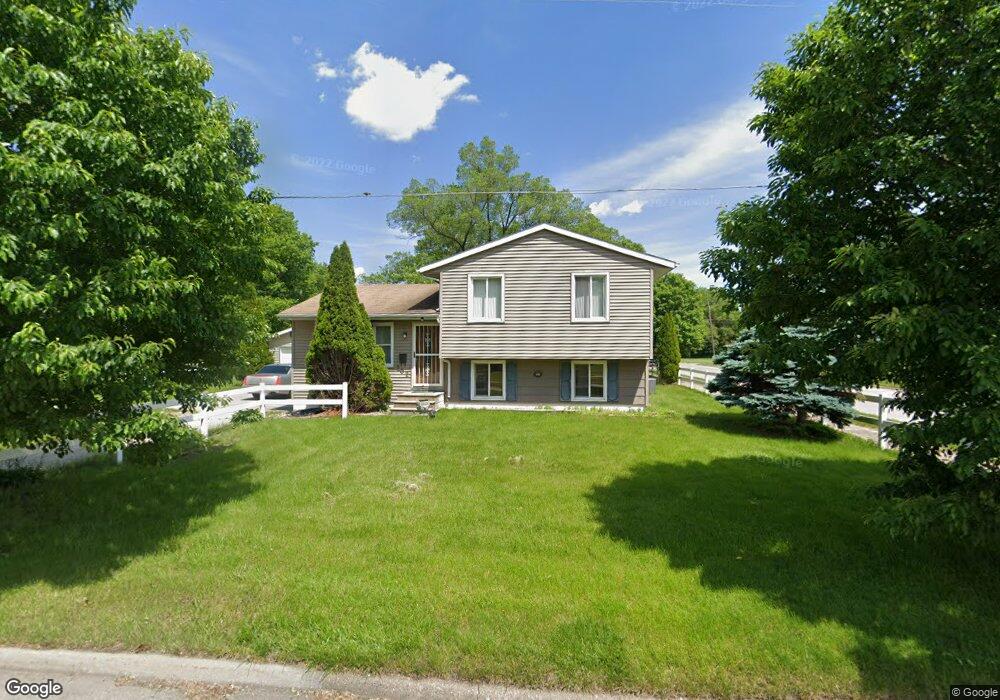
202 Ash St Waterloo, IA 50703
Unity NeighborhoodEstimated Value: $98,000 - $131,000
3
Beds
1
Bath
954
Sq Ft
$121/Sq Ft
Est. Value
About This Home
This home is located at 202 Ash St, Waterloo, IA 50703 and is currently estimated at $115,382, approximately $120 per square foot. 202 Ash St is a home located in Black Hawk County with nearby schools including Cunningham School, George Washington Carver Academy, and West High School.
Ownership History
Date
Name
Owned For
Owner Type
Purchase Details
Closed on
Feb 13, 2009
Sold by
Montgomery Norman E
Bought by
Montgomery Norman E and Montgomery Pauline
Current Estimated Value
Home Financials for this Owner
Home Financials are based on the most recent Mortgage that was taken out on this home.
Original Mortgage
$98,835
Outstanding Balance
$61,566
Interest Rate
4.91%
Mortgage Type
FHA
Estimated Equity
$53,816
Create a Home Valuation Report for This Property
The Home Valuation Report is an in-depth analysis detailing your home's value as well as a comparison with similar homes in the area
Home Values in the Area
Average Home Value in this Area
Purchase History
| Date | Buyer | Sale Price | Title Company |
|---|---|---|---|
| Montgomery Norman E | -- | None Available |
Source: Public Records
Mortgage History
| Date | Status | Borrower | Loan Amount |
|---|---|---|---|
| Open | Montgomery Norman E | $98,835 |
Source: Public Records
Tax History
| Year | Tax Paid | Tax Assessment Tax Assessment Total Assessment is a certain percentage of the fair market value that is determined by local assessors to be the total taxable value of land and additions on the property. | Land | Improvement |
|---|---|---|---|---|
| 2025 | $1,386 | $111,980 | $16,320 | $95,660 |
| 2024 | $1,386 | $87,810 | $16,320 | $71,490 |
| 2023 | $1,344 | $86,200 | $16,320 | $69,880 |
| 2022 | $1,344 | $70,100 | $16,320 | $53,780 |
| 2021 | $1,418 | $70,100 | $16,320 | $53,780 |
| 2020 | $1,390 | $71,200 | $7,650 | $63,550 |
| 2019 | $1,390 | $71,200 | $7,650 | $63,550 |
| 2018 | $1,066 | $56,540 | $7,650 | $48,890 |
| 2017 | $1,102 | $56,540 | $7,650 | $48,890 |
| 2016 | $1,084 | $56,540 | $7,650 | $48,890 |
| 2015 | $1,084 | $56,540 | $7,650 | $48,890 |
| 2014 | $1,106 | $56,540 | $7,650 | $48,890 |
Source: Public Records
Map
Nearby Homes
- 1002 Mobile St
- 0 Bates St
- 823 Glenwood St
- 510 Courtland St
- 307 Oneida St
- 324 Sumner St
- 520 Linden Ave
- 1612 Franklin St
- 218 Sumner St
- 1127 Independence Ave
- 1421 Mulberry St
- 400 Elm St
- 211 Madison St
- 630 Webster St
- 232 Webster St
- Lot 11 & 12 Webster St
- 911 Lafayette St Unit 913
- 315 Walnut St
- 1235 Independence Ave
- 318 Arizona St
Your Personal Tour Guide
Ask me questions while you tour the home.