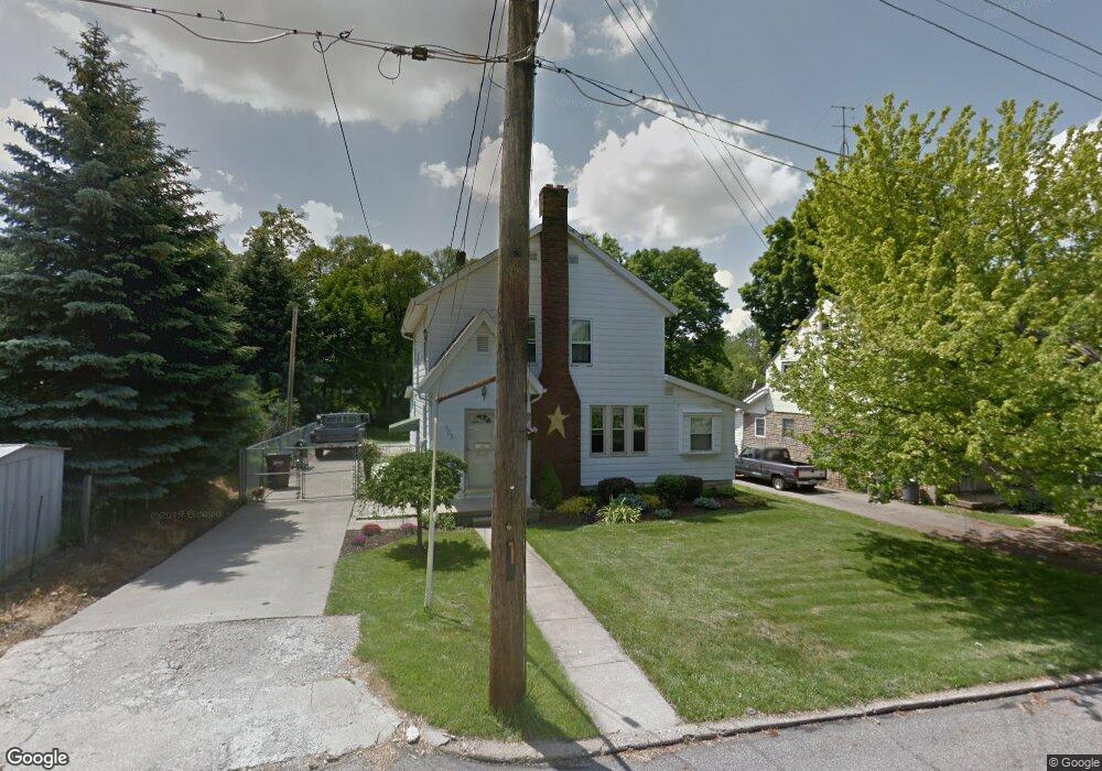
202 Bennett St Mansfield, OH 44903
Estimated Value: $139,000 - $166,000
3
Beds
2
Baths
1,683
Sq Ft
$91/Sq Ft
Est. Value
About This Home
This home is located at 202 Bennett St, Mansfield, OH 44903 and is currently estimated at $153,292, approximately $91 per square foot. 202 Bennett St is a home located in Richland County with nearby schools including Goal Digital Academy, Discovery School, and St. Peter's Junior High / High School.
Ownership History
Date
Name
Owned For
Owner Type
Purchase Details
Closed on
Jul 26, 1996
Sold by
Mennear Allen J
Bought by
Stearns Steve and Stearns Lisa
Current Estimated Value
Home Financials for this Owner
Home Financials are based on the most recent Mortgage that was taken out on this home.
Original Mortgage
$83,000
Outstanding Balance
$6,690
Interest Rate
8.43%
Mortgage Type
New Conventional
Estimated Equity
$146,602
Purchase Details
Closed on
Sep 13, 1993
Sold by
Butler Michael A
Bought by
Mennear Allen J
Create a Home Valuation Report for This Property
The Home Valuation Report is an in-depth analysis detailing your home's value as well as a comparison with similar homes in the area
Home Values in the Area
Average Home Value in this Area
Purchase History
| Date | Buyer | Sale Price | Title Company |
|---|---|---|---|
| Stearns Steve | $90,000 | -- | |
| Mennear Allen J | $59,500 | -- |
Source: Public Records
Mortgage History
| Date | Status | Borrower | Loan Amount |
|---|---|---|---|
| Open | Stearns Steve | $83,000 |
Source: Public Records
Tax History
| Year | Tax Paid | Tax Assessment Tax Assessment Total Assessment is a certain percentage of the fair market value that is determined by local assessors to be the total taxable value of land and additions on the property. | Land | Improvement |
|---|---|---|---|---|
| 2024 | $1,414 | $30,890 | $3,840 | $27,050 |
| 2023 | $1,446 | $30,890 | $3,840 | $27,050 |
| 2022 | $1,257 | $22,490 | $3,290 | $19,200 |
| 2021 | $1,265 | $22,490 | $3,290 | $19,200 |
| 2020 | $1,294 | $22,490 | $3,290 | $19,200 |
| 2019 | $1,434 | $22,490 | $3,290 | $19,200 |
| 2018 | $1,414 | $22,490 | $3,290 | $19,200 |
| 2017 | $1,241 | $22,490 | $3,290 | $19,200 |
| 2016 | $1,106 | $17,520 | $4,770 | $12,750 |
| 2015 | $1,056 | $17,520 | $4,770 | $12,750 |
| 2014 | $1,042 | $17,520 | $4,770 | $12,750 |
| 2012 | $397 | $17,520 | $4,770 | $12,750 |
Source: Public Records
Map
Nearby Homes
- 169 Euclid Ave
- 189 Westwood Ave
- 190 Dawson Ave
- 116 Stewart Ave S
- 679 Coleman Rd
- 108 Stewart Ave S
- 455 Marion Ave
- 126 Dawson Ave
- 686 Barnard Ave
- 143 Fairlawn Ave
- 135 Fairlawn Ave
- 129 Fairlawn Ave
- 71 Dawson Ave
- 31 Parkwood Blvd
- 616 Cline Ave
- 356 S Linden Rd
- 30 Douglas Ave
- 51 Lind Ave
- 183 Carpenter Rd
- 38 Penn Ave
- 200 Bennett St
- 196 Bennett St
- 628 Highland Ave
- 624 Highland Ave
- 618 Highland Ave
- 630 Highland Ave
- 188 Bennett St
- 201 Bennett St
- 184 Bennett St
- 209 Bennett St
- 197 Bennett St
- 203 Dolan Ct
- 197 Dolan Ct
- 610 Highland Ave
- 191 Bennett St
- 634 Highland Ave
- 193 Dolan Ct
- 180 Bennett St
- 187 Bennett St
- 646 Highland Ave
Your Personal Tour Guide
Ask me questions while you tour the home.