202 Byrd Rd Culloden, GA 31016
Estimated Value: $112,050 - $413,000
3
Beds
1
Bath
1,224
Sq Ft
$192/Sq Ft
Est. Value
About This Home
This home is located at 202 Byrd Rd, Culloden, GA 31016 and is currently estimated at $234,683, approximately $191 per square foot. 202 Byrd Rd is a home located in Lamar County with nearby schools including Lamar County Primary School, Lamar County Elementary School, and Lamar County Middle School.
Ownership History
Date
Name
Owned For
Owner Type
Purchase Details
Closed on
Sep 19, 2009
Sold by
High Minnie Frances
Bought by
Robinson Carolyn D High Penn
Current Estimated Value
Purchase Details
Closed on
Sep 15, 2009
Sold by
Robinson Lillie Ruth
Bought by
Robinson Carolyn D High Penn
Purchase Details
Closed on
Aug 20, 2009
Sold by
Ponder Loretha
Bought by
Robinson Carolyn D High Penn
Purchase Details
Closed on
Aug 1, 1971
Bought by
High James
Create a Home Valuation Report for This Property
The Home Valuation Report is an in-depth analysis detailing your home's value as well as a comparison with similar homes in the area
Purchase History
| Date | Buyer | Sale Price | Title Company |
|---|---|---|---|
| Robinson Carolyn D High Penn | -- | -- | |
| Robinson Carolyn D High Penn | -- | -- | |
| Robinson Carolyn D High Penn | -- | -- | |
| Robinson Carolyn D High Penn | -- | -- | |
| Robinson Carolyn D High Penn | -- | -- | |
| Robinson Carolyn D High Penn | -- | -- | |
| High James | -- | -- |
Source: Public Records
Tax History
| Year | Tax Paid | Tax Assessment Tax Assessment Total Assessment is a certain percentage of the fair market value that is determined by local assessors to be the total taxable value of land and additions on the property. | Land | Improvement |
|---|---|---|---|---|
| 2025 | $866 | $35,727 | $5,995 | $29,732 |
| 2024 | $776 | $30,321 | $5,995 | $24,326 |
| 2023 | $825 | $29,884 | $5,995 | $23,889 |
| 2022 | $690 | $25,008 | $3,116 | $21,892 |
| 2021 | $546 | $18,165 | $3,116 | $15,049 |
| 2020 | $575 | $18,165 | $3,116 | $15,049 |
| 2019 | $576 | $18,165 | $3,116 | $15,049 |
| 2018 | $554 | $18,165 | $3,116 | $15,049 |
| 2017 | $551 | $18,165 | $3,116 | $15,049 |
| 2016 | $551 | $18,165 | $3,116 | $15,049 |
| 2015 | $550 | $18,164 | $3,116 | $15,049 |
| 2014 | $533 | $18,164 | $3,116 | $15,049 |
| 2013 | -- | $18,164 | $3,115 | $15,048 |
Source: Public Records
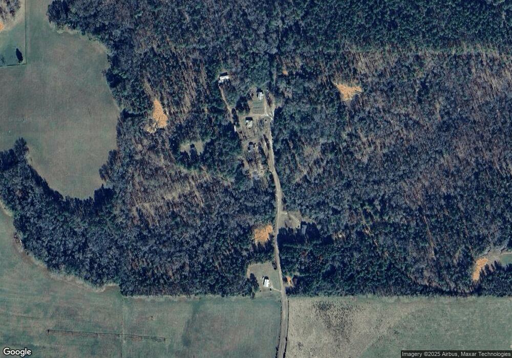
Map
Nearby Homes
- 305 Zellner Rd
- 331 Worsham Rd
- 202 Community House Rd
- 208 Community House Rd
- 1721 Old Zebulon Rd
- 227 Fuller Rd
- 4 Hopewell Rd
- 6 Hopewell Rd
- 5 Hopewell Rd
- 342 Ramah Church Rd
- TRACT 6 Ramah Church Rd Unit 6
- TRACT 9 Ramah Church Rd Unit 9
- 284 Community House Rd
- 272 Community House Rd
- 1904 U S 341
- 741 Pine Grove Church Rd
- 325 Parks Rd
- 301 Parks Rd
- 0 Abercrombie Rd Unit 10681500
- 1505 Willis Rd
- 210 Byrd Rd
- 218 Byrd Rd
- 189 Byrd Rd
- 217 Byrd Rd
- 196 Byrd Rd
- 222 Byrd Rd
- 225 Byrd Rd
- 170 Byrd Rd
- 175 Byrd Rd
- 220 Byrd Rd
- 226 Taylor Rd
- 0 Forsyth Yatesville Rd
- 0 Forsyth Yatesville Rd Unit 120623
- 0 Forsyth Yatesville Rd Unit 7047848
- 0 Forsyth Yatesville Rd Unit 7351749
- 410 Forsyth Yatesville Rd
- 371 Forsyth Yatesville Rd
- 428 Forsyth Yatesville Rd
- 450 Zellner Rd
- 480 Forsyth Yatesville Rd
Your Personal Tour Guide
Ask me questions while you tour the home.