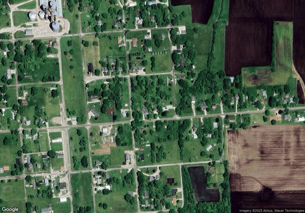
202 E Broad St Rutland, IL 61358
Estimated Value: $77,000 - $205,000
Studio
1
Bath
1,866
Sq Ft
$70/Sq Ft
Est. Value
About This Home
This home is located at 202 E Broad St, Rutland, IL 61358 and is currently estimated at $129,771, approximately $69 per square foot. 202 E Broad St is a home located in LaSalle County with nearby schools including Fieldcrest Elementary School - South, Fieldcrest Elementary School - West, and Fieldcrest High School.
Ownership History
Date
Name
Owned For
Owner Type
Purchase Details
Closed on
Sep 25, 2017
Sold by
Manning Lynn L
Bought by
Cosby William J and Cosby Crystal L
Current Estimated Value
Home Financials for this Owner
Home Financials are based on the most recent Mortgage that was taken out on this home.
Original Mortgage
$64,750
Outstanding Balance
$54,186
Interest Rate
3.89%
Mortgage Type
New Conventional
Estimated Equity
$75,585
Create a Home Valuation Report for This Property
The Home Valuation Report is an in-depth analysis detailing your home's value as well as a comparison with similar homes in the area
Purchase History
| Date | Buyer | Sale Price | Title Company |
|---|---|---|---|
| Cosby William J | $36,000 | -- |
Source: Public Records
Mortgage History
| Date | Status | Borrower | Loan Amount |
|---|---|---|---|
| Open | Cosby William J | $64,750 |
Source: Public Records
Tax History
| Year | Tax Paid | Tax Assessment Tax Assessment Total Assessment is a certain percentage of the fair market value that is determined by local assessors to be the total taxable value of land and additions on the property. | Land | Improvement |
|---|---|---|---|---|
| 2024 | -- | $21,687 | $1,499 | $20,188 |
| 2023 | -- | $19,156 | $1,324 | $17,832 |
| 2022 | $0 | $17,691 | $1,223 | $16,468 |
| 2021 | $0 | $17,473 | $1,208 | $16,265 |
| 2020 | $445 | $17,211 | $1,190 | $16,021 |
| 2019 | $445 | $17,211 | $1,190 | $16,021 |
| 2018 | $445 | $16,575 | $1,146 | $15,429 |
| 2017 | $445 | $15,913 | $1,100 | $14,813 |
| 2016 | $879 | $15,560 | $1,076 | $14,484 |
| 2015 | $818 | $14,799 | $1,023 | $13,776 |
| 2012 | -- | $13,677 | $1,001 | $12,676 |
Source: Public Records
Map
Nearby Homes
- 203 E Chestnut St
- 107 N Front St
- 947 N 2nd Rd
- 0 S Maple St
- 201 S Maple St
- 0 S Oak St
- 112 E Jefferson St
- 208 E Washington St
- 216 W Santa fe Ave
- 707 W Santa fe Ave
- 734 Locust St
- 829 Lincoln St
- 2711 E 800 N
- 2608 State Route 17
- 728 Claire St
- 201 S Carson St
- 2278 County Road 300 N
- 111 N Reiter St
- 509 Vine St
- 2913 County Road 1700 N
- 200 E Broad St
- 204 E Broad St
- 101 S State St
- 205 E Broad St
- 208 E Broad St
- 104 E Broad St
- 207 E Broad St
- 205 E Chestnut St
- 111 N State St
- 105 S State St
- 101 E Broad St
- 209 E Chestnut St
- 200 E Chestnut St
- 2850 County Road 100 N
- 200 E Market St
- 200 E Market St
- 303 E Broad St
- 111 N School St
- 103 NE Front St
- 108 E Chestnut St
Your Personal Tour Guide
Ask me questions while you tour the home.
