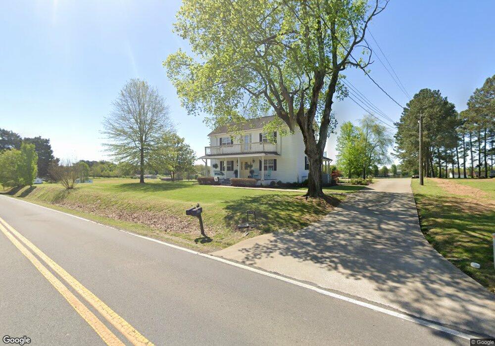
202 E Main St Loretto, TN 38469
Estimated Value: $72,000 - $208,388
Studio
1
Bath
2,288
Sq Ft
$65/Sq Ft
Est. Value
About This Home
This home is located at 202 E Main St, Loretto, TN 38469 and is currently estimated at $148,463, approximately $64 per square foot. 202 E Main St is a home located in Lawrence County with nearby schools including South Lawrence Elementary School, Lawrenceburg Public Elementary School, and Ingram Sowell Elementary School.
Ownership History
Date
Name
Owned For
Owner Type
Purchase Details
Closed on
May 16, 2025
Sold by
Methvin Ray E and Methvin Sondra
Bought by
Ray And Sondra Methvin Family Living Trust and Methvin
Current Estimated Value
Purchase Details
Closed on
Nov 1, 1999
Sold by
Lance Green
Bought by
Weaver Brett H
Purchase Details
Closed on
Nov 17, 1998
Sold by
Lee Green Johnathan
Bought by
Lance Green
Purchase Details
Closed on
Oct 28, 1998
Bought by
Green Lance
Purchase Details
Closed on
Nov 10, 1993
Bought by
Green Johnathan Lee
Purchase Details
Closed on
Apr 22, 1993
Bought by
Killen Charles and Killen Bonnie
Purchase Details
Closed on
Sep 20, 1986
Bought by
Brown David M and Brown S
Create a Home Valuation Report for This Property
The Home Valuation Report is an in-depth analysis detailing your home's value as well as a comparison with similar homes in the area
Purchase History
| Date | Buyer | Sale Price | Title Company |
|---|---|---|---|
| Ray And Sondra Methvin Family Living Trust | -- | None Listed On Document | |
| Ray And Sondra Methvin Family Living Trust | -- | None Listed On Document | |
| Weaver Brett H | $60,000 | -- | |
| Lance Green | $47,330 | -- | |
| Green Lance | $47,300 | -- | |
| Green Johnathan Lee | $50,000 | -- | |
| Killen Charles | $35,000 | -- | |
| Brown David M | -- | -- |
Source: Public Records
Tax History
| Year | Tax Paid | Tax Assessment Tax Assessment Total Assessment is a certain percentage of the fair market value that is determined by local assessors to be the total taxable value of land and additions on the property. | Land | Improvement |
|---|---|---|---|---|
| 2025 | $153 | $7,625 | $7,625 | $0 |
| 2024 | $153 | $7,625 | $7,625 | $0 |
| 2023 | $153 | $7,625 | $7,625 | $0 |
| 2022 | $153 | $7,625 | $7,625 | $0 |
| 2021 | $144 | $4,875 | $4,875 | $0 |
| 2020 | $144 | $4,875 | $4,875 | $0 |
| 2019 | $144 | $4,875 | $4,875 | $0 |
| 2018 | $144 | $4,875 | $4,875 | $0 |
| 2017 | $144 | $4,875 | $4,875 | $0 |
| 2016 | $144 | $4,875 | $4,875 | $0 |
| 2015 | $134 | $4,875 | $4,875 | $0 |
| 2014 | $134 | $4,875 | $4,875 | $0 |
Source: Public Records
Map
Nearby Homes
- 130 Beartown Rd
- 202 Vine St
- 200 Church St
- 211 Church St
- 205 Dixon Rd E
- 205 Dixon Branch Rd
- 411 2nd Ave S
- 456 S Military St
- 109 2nd Ave N
- 412 Eells St
- 402 W Commerce St
- 518 2nd Ave S
- 118 Park St
- 219 Vine Cir
- 402 N Military St
- 530 S Military St
- 502 N Main St
- 110 Kitty Meyer Ln
- 176 Beartown Rd
- 188 Beartown Rd
Your Personal Tour Guide
Ask me questions while you tour the home.