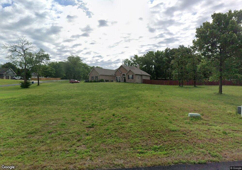
202 Fireside Dr Joplin, MO 64801
Estimated Value: $389,000 - $421,000
3
Beds
3
Baths
2,300
Sq Ft
$175/Sq Ft
Est. Value
About This Home
This home is located at 202 Fireside Dr, Joplin, MO 64801 and is currently estimated at $403,410, approximately $175 per square foot. 202 Fireside Dr is a home located in Jasper County with nearby schools including Webb City High School.
Create a Home Valuation Report for This Property
The Home Valuation Report is an in-depth analysis detailing your home's value as well as a comparison with similar homes in the area
Tax History
| Year | Tax Paid | Tax Assessment Tax Assessment Total Assessment is a certain percentage of the fair market value that is determined by local assessors to be the total taxable value of land and additions on the property. | Land | Improvement |
|---|---|---|---|---|
| 2025 | $2,005 | $53,570 | $5,240 | $48,330 |
| 2024 | $2,005 | $47,550 | $5,240 | $42,310 |
| 2023 | $2,005 | $47,550 | $5,240 | $42,310 |
| 2022 | $1,990 | $47,370 | $5,240 | $42,130 |
| 2021 | $1,976 | $47,370 | $5,240 | $42,130 |
| 2020 | $1,849 | $43,660 | $5,240 | $38,420 |
| 2019 | $1,854 | $43,660 | $5,240 | $38,420 |
| 2018 | $1,796 | $42,390 | $0 | $0 |
| 2017 | $1,802 | $42,390 | $0 | $0 |
| 2016 | $485 | $11,450 | $0 | $0 |
Source: Public Records
Map
Nearby Homes
- 402 Hearthstone Dr
- 202 Split Rail Dr
- 505 Fireside Dr
- 503 Soaring Hawk Dr
- 101 Meadow Land Dr
- TBD County Road 200
- TBD County Road 190
- 7564 County Lane 197
- 19855 Hidden Acres Rd
- 7953 County Lane 192
- 5510 County Road 200
- 609 S Arch St
- 508 S Maple St
- 415 S Jefferson St
- 201 S Elm St
- 518 S Walnut St
- 109 Jackson St
- 519 E Main St
- 506 S Elm St
- 000 Carterville Land
- 203 Fireside Dr
- 402 Heritage Acres Dr
- 401 Fox Ridge Dr
- 305 Fox Ridge Dr
- 303 Heritage Acres Dr
- 401 Heritage Acres Dr Unit 1
- 401 Heritage Acres Dr
- 303 Fox Ridge Dr
- 404 Heritage Acres Dr
- 301 Heritage Acres Dr
- 300 Heritage Acres Dr
- 303 Fireside Dr
- 407 Fox Ridge Dr
- 406 Heritage Acres Dr
- 304 Fox Ridge Dr
- 301 Fox Ridge Dr
- 400 Fox Ridge Dr
- 304 Fireside Dr
- Xxxx Heritage Acres Dr
- 209 Fox Ridge Dr
Your Personal Tour Guide
Ask me questions while you tour the home.