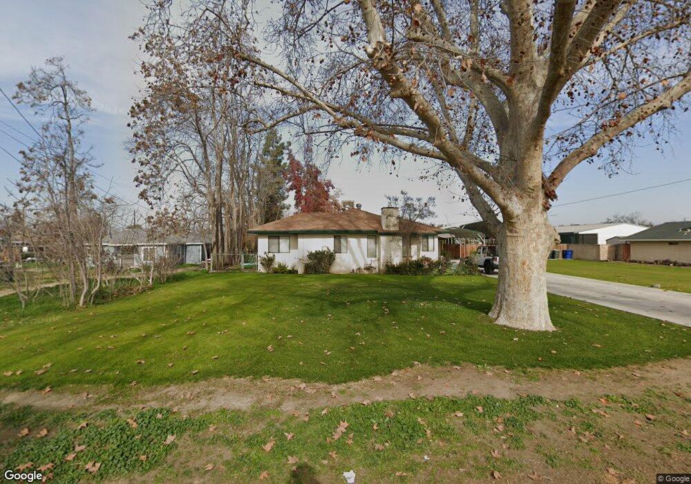
202 Fishering Dr Bakersfield, CA 93309
Southwest Bakersfield NeighborhoodEstimated Value: $261,000 - $272,712
3
Beds
1
Bath
808
Sq Ft
$330/Sq Ft
Est. Value
About This Home
This home is located at 202 Fishering Dr, Bakersfield, CA 93309 and is currently estimated at $266,428, approximately $329 per square foot. 202 Fishering Dr is a home located in Kern County with nearby schools including Munsey Elementary School, Curran Middle School, and West High School.
Ownership History
Date
Name
Owned For
Owner Type
Purchase Details
Closed on
Feb 17, 2021
Sold by
Sweet David
Bought by
Sweet David and Sweet Nancy Jean
Current Estimated Value
Purchase Details
Closed on
Oct 21, 1994
Sold by
Thornton James E and Thornton Laurel
Bought by
Sweet David and Sweet Leslie
Home Financials for this Owner
Home Financials are based on the most recent Mortgage that was taken out on this home.
Original Mortgage
$70,000
Interest Rate
8.91%
Mortgage Type
Seller Take Back
Create a Home Valuation Report for This Property
The Home Valuation Report is an in-depth analysis detailing your home's value as well as a comparison with similar homes in the area
Home Values in the Area
Average Home Value in this Area
Purchase History
| Date | Buyer | Sale Price | Title Company |
|---|---|---|---|
| Sweet David | -- | None Available | |
| Sweet David | -- | None Available | |
| Sweet David | $75,000 | Stewart Title |
Source: Public Records
Mortgage History
| Date | Status | Borrower | Loan Amount |
|---|---|---|---|
| Closed | Sweet David | $70,000 |
Source: Public Records
Tax History
| Year | Tax Paid | Tax Assessment Tax Assessment Total Assessment is a certain percentage of the fair market value that is determined by local assessors to be the total taxable value of land and additions on the property. | Land | Improvement |
|---|---|---|---|---|
| 2025 | $2,026 | $125,941 | $33,576 | $92,365 |
| 2024 | $2,026 | $123,472 | $32,918 | $90,554 |
| 2023 | $1,969 | $121,052 | $32,273 | $88,779 |
| 2022 | $1,892 | $118,680 | $31,641 | $87,039 |
| 2021 | $1,803 | $116,354 | $31,021 | $85,333 |
| 2020 | $1,760 | $115,162 | $30,703 | $84,459 |
| 2019 | $1,725 | $115,162 | $30,703 | $84,459 |
| 2018 | $1,671 | $110,691 | $29,511 | $81,180 |
| 2017 | $1,659 | $108,522 | $28,933 | $79,589 |
| 2016 | $1,524 | $106,395 | $28,366 | $78,029 |
| 2015 | $1,523 | $104,797 | $27,940 | $76,857 |
| 2014 | $1,336 | $90,000 | $23,000 | $67,000 |
Source: Public Records
Map
Nearby Homes
- 513 Prosser Ave
- 615 Cherokee Dr
- 305 Jones St
- 613 Middlefield St
- 4217 Quarter Ave
- 4420 4424 Belle Terrace
- 4424 Belle Terrace
- 225 Bloomquist Dr
- 305 Curran St
- 3920 Navajo Ave
- 225 Blomquist Dr
- 4428 Belle Terrace
- 3608 Peckham Ave
- 113 Griffiths St
- 3714 Brave Ave
- 101 Griffiths St
- 3712 Wood Ln
- 3917 Stockdale Hwy
- 4629 Fishering Dr
- 240 S Real Rd
- 110 Fishering Dr Unit A,B
- 110 Fishering Dr
- 208 Fishering Dr
- 104 Fishering Dr
- 201 Fishering Dr
- 205 Fishering Dr
- 612 Prosser Ave
- 107 Fishering Dr
- 4118 Fishering Dr
- 207 Fishering Dr
- 608 Prosser Ave
- 608 Prosser St
- 604 Prosser Ave
- 105 Fishering Dr
- 600 Prosser Ave
- 4008 Fishering Dr
- 4106 Shea Place
- 411 Jones St
- 204 Bloomquist Dr