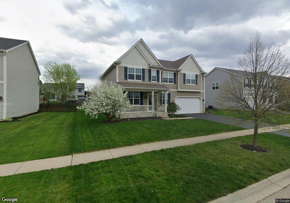
202 Loradale Rd Oswego, IL 60543
North Oswego NeighborhoodEstimated Value: $505,143 - $557,000
4
Beds
3
Baths
3,327
Sq Ft
$161/Sq Ft
Est. Value
About This Home
This home is located at 202 Loradale Rd, Oswego, IL 60543 and is currently estimated at $536,536, approximately $161 per square foot. 202 Loradale Rd is a home with nearby schools including Churchill Elementary School, Plank Junior High School, and Oswego East High School.
Ownership History
Date
Name
Owned For
Owner Type
Purchase Details
Closed on
Aug 29, 2013
Sold by
Hovsite Churchill Club Llc
Bought by
Stoddard Richard and Collins Stoddard Erin Christine
Current Estimated Value
Home Financials for this Owner
Home Financials are based on the most recent Mortgage that was taken out on this home.
Original Mortgage
$244,750
Outstanding Balance
$182,568
Interest Rate
4.39%
Mortgage Type
New Conventional
Estimated Equity
$353,968
Purchase Details
Closed on
Sep 30, 2009
Sold by
Hovstone Properties Illionis Llc
Bought by
Hovsite Churchill Club Llc
Create a Home Valuation Report for This Property
The Home Valuation Report is an in-depth analysis detailing your home's value as well as a comparison with similar homes in the area
Home Values in the Area
Average Home Value in this Area
Purchase History
| Date | Buyer | Sale Price | Title Company |
|---|---|---|---|
| Stoddard Richard | $272,000 | Chicago Title Insurance Co | |
| Hovsite Churchill Club Llc | -- | None Available |
Source: Public Records
Mortgage History
| Date | Status | Borrower | Loan Amount |
|---|---|---|---|
| Open | Stoddard Richard | $244,750 |
Source: Public Records
Tax History
| Year | Tax Paid | Tax Assessment Tax Assessment Total Assessment is a certain percentage of the fair market value that is determined by local assessors to be the total taxable value of land and additions on the property. | Land | Improvement |
|---|---|---|---|---|
| 2024 | $10,927 | $141,780 | $26,645 | $115,135 |
| 2023 | $9,945 | $126,589 | $23,790 | $102,799 |
| 2022 | $9,945 | $116,137 | $21,826 | $94,311 |
| 2021 | $9,594 | $108,539 | $20,398 | $88,141 |
| 2020 | $9,488 | $106,411 | $19,998 | $86,413 |
| 2019 | $9,358 | $103,489 | $19,998 | $83,491 |
| 2018 | $9,145 | $99,630 | $23,710 | $75,920 |
| 2017 | $8,930 | $93,112 | $22,159 | $70,953 |
| 2016 | $8,556 | $88,258 | $21,004 | $67,254 |
| 2015 | $8,648 | $85,274 | $20,294 | $64,980 |
| 2014 | -- | $80,447 | $19,145 | $61,302 |
| 2013 | -- | $16 | $16 | $0 |
Source: Public Records
Map
Nearby Homes
- 700 N Sparkle Ct
- 121 Preakness Dr
- 786 Bohannon Cir
- 112 Waterbury Cir
- 22 Alex Ct Unit 1
- 524 Majestic Ln
- 322 Ogden Falls Blvd Unit 2
- 623 Queen Dr
- 49 Waterbury Cir
- 725 Bohannon Cir
- 651 Henry Ln
- 0000 Fifth St
- BELLAMY Plan at Sonoma Trails - Single Family Homes
- Bradley Plan at Sonoma Trails - Single Family Homes
- Haven Plan at Sonoma Trails - Single Family Homes
- HENLEY Plan at Sonoma Trails - Single Family Homes
- EMERSON Plan at Sonoma Trails - Single Family Homes
- Sloan Plan at Sonoma Trails - Single Family Homes
- COVENTRY Plan at Sonoma Trails - Single Family Homes
- 2459 Scribe St
- 204 Loradale Rd
- 200 Loradale Rd
- 409 Raintree Dr Unit 2
- 206 Loradale Rd
- 407 Raintree Dr
- 701 Millersburg St
- 411 Raintree Dr
- 405 Raintree Dr
- 205 Loradale Rd
- 208 Loradale Rd
- 413 Raintree Dr
- 703 Millersburg St
- 403 Raintree Dr
- 207 Loradale Rd
- 415 Raintree Dr
- 704 Millersburg St
- 705 Millersburg St
- 406 Raintree Dr
- 534 Treasure Dr Unit 2
- 408 Raintree Dr Unit 2