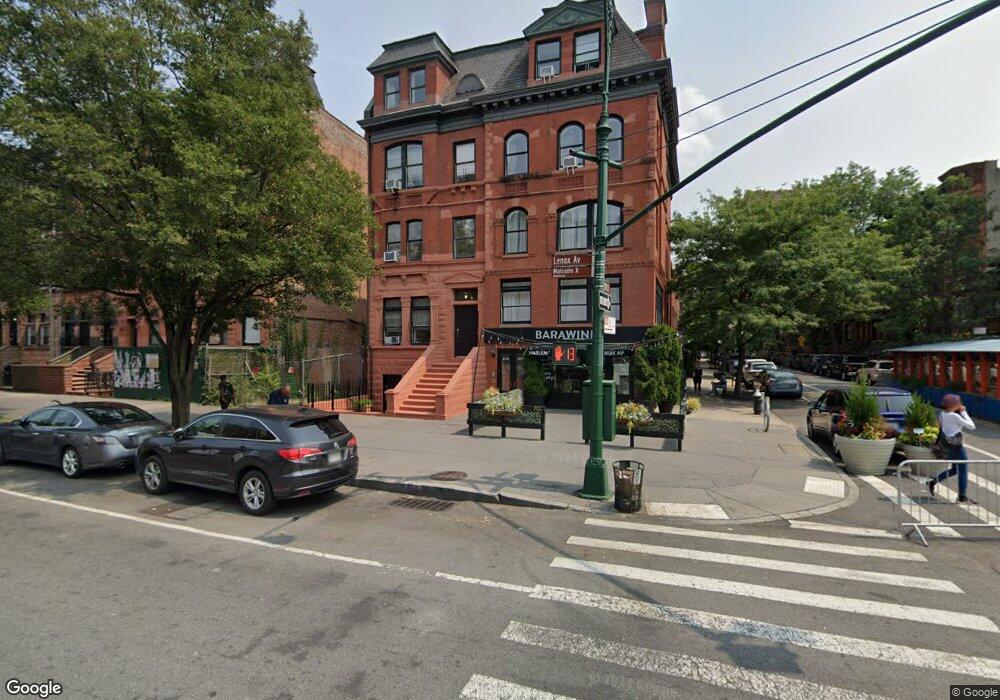
202 Malcolm x Blvd New York, NY 10027
Central Harlem NeighborhoodEstimated Value: $1,669,000 - $3,919,000
--
Bed
--
Bath
3,548
Sq Ft
$867/Sq Ft
Est. Value
About This Home
This home is located at 202 Malcolm x Blvd, New York, NY 10027 and is currently estimated at $3,074,779, approximately $866 per square foot. 202 Malcolm x Blvd is a home located in New York County with nearby schools including Ps 242 The Young Diplomats Magnet School, Neighborhood Charter School of Harlem, and Mt Pleasant Christian Academy.
Ownership History
Date
Name
Owned For
Owner Type
Purchase Details
Closed on
Feb 25, 2016
Sold by
Myers Roslyn
Bought by
Estrin Deborah and Ezer Stokelman Ache
Current Estimated Value
Home Financials for this Owner
Home Financials are based on the most recent Mortgage that was taken out on this home.
Original Mortgage
$2,000,000
Outstanding Balance
$1,591,358
Interest Rate
3.81%
Mortgage Type
Purchase Money Mortgage
Estimated Equity
$1,483,421
Purchase Details
Closed on
Oct 1, 2004
Sold by
Brownstone Partners/Aff Llc and % A & F Commercial Builders
Bought by
Myers Roslyn
Home Financials for this Owner
Home Financials are based on the most recent Mortgage that was taken out on this home.
Original Mortgage
$426,350
Interest Rate
5.8%
Mortgage Type
Purchase Money Mortgage
Purchase Details
Closed on
May 25, 1978
Sold by
Commissioner Of Finance Ny
Bought by
City Of New York
Create a Home Valuation Report for This Property
The Home Valuation Report is an in-depth analysis detailing your home's value as well as a comparison with similar homes in the area
Home Values in the Area
Average Home Value in this Area
Purchase History
| Date | Buyer | Sale Price | Title Company |
|---|---|---|---|
| Estrin Deborah | $3,780,000 | -- | |
| Myers Roslyn | $523,087 | -- | |
| Myers Roslyn | $523,087 | -- | |
| City Of New York | -- | -- |
Source: Public Records
Mortgage History
| Date | Status | Borrower | Loan Amount |
|---|---|---|---|
| Open | Estrin Deborah | $2,000,000 | |
| Previous Owner | Myers Roslyn | $42,877 | |
| Previous Owner | Myers Roslyn | $426,350 |
Source: Public Records
Tax History Compared to Growth
Tax History
| Year | Tax Paid | Tax Assessment Tax Assessment Total Assessment is a certain percentage of the fair market value that is determined by local assessors to be the total taxable value of land and additions on the property. | Land | Improvement |
|---|---|---|---|---|
| 2025 | $12,789 | $67,493 | $22,350 | $45,143 |
| 2024 | $12,789 | $63,673 | $48,420 | $44,098 |
| 2023 | $12,931 | $63,673 | $17,289 | $46,384 |
| 2022 | $12,615 | $166,980 | $48,420 | $118,560 |
| 2021 | $12,547 | $162,780 | $48,420 | $114,360 |
| 2020 | $11,905 | $185,400 | $48,420 | $136,980 |
| 2019 | $11,100 | $150,000 | $48,420 | $101,580 |
| 2016 | $8,950 | $49,682 | $16,051 | $33,631 |
| 2015 | $3,476 | $46,870 | $13,239 | $33,631 |
| 2014 | $3,476 | $44,218 | $10,587 | $33,631 |
Source: Public Records
Map
Nearby Homes
- 14 W 121st St
- 6 W 121st St
- 5 W 120th St Unit 1
- 9 Mount Morris Park W Unit A
- 10 W 122nd St
- 42 W 120th St Unit 3-C
- 81 W 119th St
- 100 W 121st St Unit 32
- 240 Lenox Ave
- 53 W 119th St Unit 1
- 101 W 121st St
- 22 W 120th St
- 29 W 119th St Unit 3
- 103 W 122nd St
- 32 W 119th St
- 126 W 121st St
- 127 W 122nd St
- 118 W 123rd St Unit 53
- 135 W 122nd St
- 148 W 121st St Unit 5
- 202 Lenox Ave Unit 3
- 202 Lenox Ave
- 202 Lenox Ave Unit 2
- 204 Malcolm x Blvd
- 200 Malcolm x Blvd
- 200 Lenox Ave Unit 2nd floor Duplex
- 200 Lenox Ave Unit 2A
- 206 Malcolm x Blvd
- 208 Lenox Ave Unit 2
- 208 Lenox Ave Unit 1
- 208 Malcolm x Blvd
- 208 Lenox Ave Unit 1
- 208 Lenox Ave Unit 2
- 208 Lenox Ave Unit 3
- 208 Lenox Ave
- 23 W 120th St
- 210 Malcolm x Blvd
- 21 W 120th St
- 21 W 120th St Unit 5