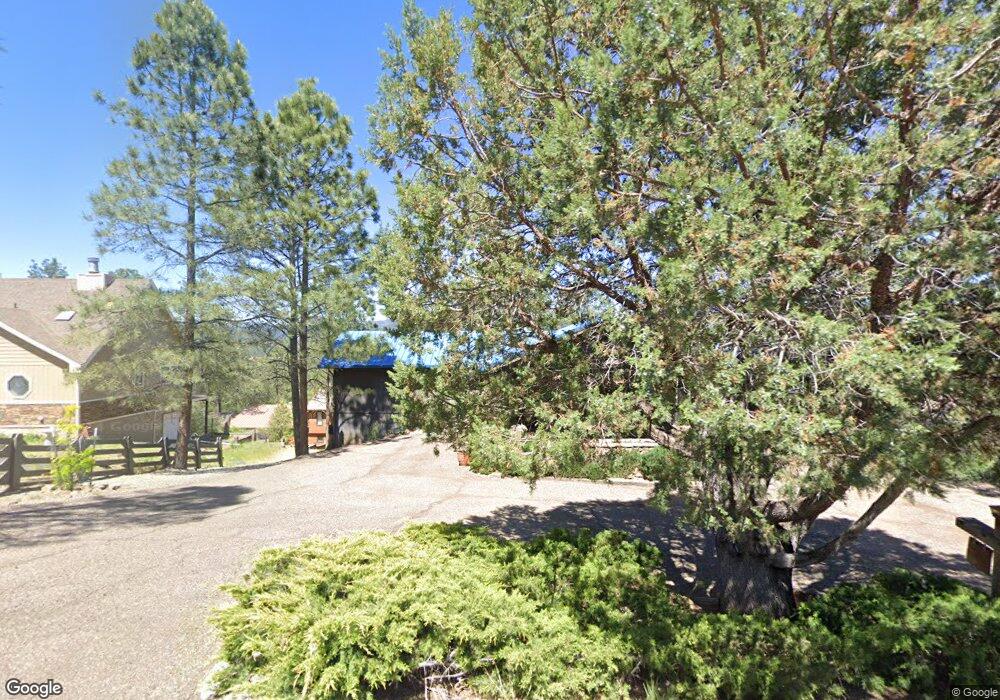
202 Mcbride Dr Unit 2 Ruidoso, NM 88345
Estimated Value: $408,000 - $742,000
4
Beds
3
Baths
3,537
Sq Ft
$174/Sq Ft
Est. Value
About This Home
This home is located at 202 Mcbride Dr Unit 2, Ruidoso, NM 88345 and is currently estimated at $616,489, approximately $174 per square foot. 202 Mcbride Dr Unit 2 is a home located in Lincoln County with nearby schools including Sierra Vista Primary School, White Mountain Elementary School, and Ruidoso Middle School.
Ownership History
Date
Name
Owned For
Owner Type
Purchase Details
Closed on
Sep 12, 2012
Sold by
Livingston Michael T and Livingston Melissa
Bought by
Striegler Robert L and Striegler Susan T
Current Estimated Value
Home Financials for this Owner
Home Financials are based on the most recent Mortgage that was taken out on this home.
Original Mortgage
$323,775
Outstanding Balance
$140,404
Interest Rate
3.59%
Mortgage Type
New Conventional
Estimated Equity
$476,085
Purchase Details
Closed on
Dec 6, 2006
Sold by
Mcbee Mearl O and Mcbee Sharon L
Bought by
Livingston Michael T and Livingston Melissa
Home Financials for this Owner
Home Financials are based on the most recent Mortgage that was taken out on this home.
Original Mortgage
$310,400
Interest Rate
6.41%
Mortgage Type
New Conventional
Create a Home Valuation Report for This Property
The Home Valuation Report is an in-depth analysis detailing your home's value as well as a comparison with similar homes in the area
Home Values in the Area
Average Home Value in this Area
Purchase History
| Date | Buyer | Sale Price | Title Company |
|---|---|---|---|
| Striegler Robert L | -- | None Available | |
| Livingston Michael T | -- | Gsv |
Source: Public Records
Mortgage History
| Date | Status | Borrower | Loan Amount |
|---|---|---|---|
| Open | Striegler Robert L | $323,775 | |
| Previous Owner | Livingston Michael T | $310,400 |
Source: Public Records
Tax History Compared to Growth
Tax History
| Year | Tax Paid | Tax Assessment Tax Assessment Total Assessment is a certain percentage of the fair market value that is determined by local assessors to be the total taxable value of land and additions on the property. | Land | Improvement |
|---|---|---|---|---|
| 2025 | $4,784 | $163,877 | $31,872 | $132,005 |
| 2024 | $4,784 | $159,104 | $30,944 | $128,160 |
| 2023 | $4,784 | $154,470 | $30,043 | $124,427 |
| 2022 | $4,407 | $145,802 | $29,168 | $116,634 |
| 2021 | $4,259 | $141,541 | $28,315 | $113,226 |
| 2020 | $4,172 | $137,418 | $27,490 | $109,928 |
| 2019 | $3,904 | $134,723 | $26,951 | $107,772 |
| 2018 | $3,767 | $130,800 | $26,166 | $104,634 |
| 2017 | $3,626 | $126,990 | $25,404 | $101,586 |
| 2015 | $3,634 | $127,003 | $25,407 | $101,596 |
| 2014 | $3,634 | $127,003 | $25,407 | $101,596 |
Source: Public Records
Map
Nearby Homes
- 125 Mcbride Dr
- 120 Mcbride Dr
- 503 Snowcap Dr
- 501 Snowcap Dr
- 214 Mcbride Dr
- 209 Torreon Loop
- 213 Nogal Place
- 207 Torreon Loop
- 813 Hull Rd
- 408 Mcbride Dr
- 108 Jack Little Dr Unit B-8
- 108 Jack Little Dr Unit B-15
- 110 Jack Little Dr Unit A12
- 100 Edward Ave
- 101 Racquet Dr Unit 4
- 108 Don Snyder Dr
- 304 Heath Dr
- 205 Racquet Dr Unit 4
- 205 Racquet Dr Unit B2
- 205 Racquet Dr Unit 4A
- 200 Mcbride Dr
- 204 Mcbride Dr Unit 2
- 101 Snowcap Ct
- 206 Mcbride Dr Unit 2
- 201 Mcbride Dr
- 102 Snowcap Ct Unit 2
- 205 Mcbride Dr
- 103 Snowcap Ct Unit 2
- 515 Snowcap Dr
- 515 Snowcap Dr Unit 2
- 515 Snowcap Dr
- 126 Mcbride Dr Unit 2
- 208 Mcbride Dr
- 106 Snowcap Ct Unit 2
- 603 Snowcap Dr Unit 2
- 603 Snowcap Dr
- 511 Snowcap Dr
- 210 Mcbride Dr
- 129 Mcbride Dr Unit 2
- 129 Mcbride Dr