202 Mount Evans Dr Durham, NC 27705
West Durham NeighborhoodEstimated Value: $306,497 - $345,000
2
Beds
3
Baths
1,195
Sq Ft
$272/Sq Ft
Est. Value
About This Home
This home is located at 202 Mount Evans Dr, Durham, NC 27705 and is currently estimated at $324,624, approximately $271 per square foot. 202 Mount Evans Dr is a home located in Durham County with nearby schools including Morehead Montessori, Forest View Elementary, and Brogden Middle.
Ownership History
Date
Name
Owned For
Owner Type
Purchase Details
Closed on
Apr 4, 2012
Sold by
Standard Pacifi9c Of The Carolins Llc
Bought by
Gordon John A and Liu Lan
Current Estimated Value
Home Financials for this Owner
Home Financials are based on the most recent Mortgage that was taken out on this home.
Original Mortgage
$90,000
Outstanding Balance
$62,340
Interest Rate
3.97%
Mortgage Type
New Conventional
Estimated Equity
$262,284
Create a Home Valuation Report for This Property
The Home Valuation Report is an in-depth analysis detailing your home's value as well as a comparison with similar homes in the area
Home Values in the Area
Average Home Value in this Area
Purchase History
| Date | Buyer | Sale Price | Title Company |
|---|---|---|---|
| Gordon John A | $141,000 | None Available |
Source: Public Records
Mortgage History
| Date | Status | Borrower | Loan Amount |
|---|---|---|---|
| Open | Gordon John A | $90,000 |
Source: Public Records
Tax History
| Year | Tax Paid | Tax Assessment Tax Assessment Total Assessment is a certain percentage of the fair market value that is determined by local assessors to be the total taxable value of land and additions on the property. | Land | Improvement |
|---|---|---|---|---|
| 2025 | $3,198 | $322,624 | $95,000 | $227,624 |
| 2024 | $2,951 | $211,521 | $50,000 | $161,521 |
| 2023 | $2,771 | $211,521 | $50,000 | $161,521 |
| 2022 | $2,707 | $211,521 | $50,000 | $161,521 |
| 2021 | $2,695 | $211,521 | $50,000 | $161,521 |
| 2020 | $2,631 | $211,521 | $50,000 | $161,521 |
| 2019 | $2,631 | $211,521 | $50,000 | $161,521 |
| 2018 | $2,385 | $175,809 | $40,000 | $135,809 |
| 2017 | $2,367 | $175,809 | $40,000 | $135,809 |
| 2016 | $2,287 | $175,809 | $40,000 | $135,809 |
| 2015 | $1,894 | $136,817 | $31,000 | $105,817 |
| 2014 | $1,894 | $136,817 | $31,000 | $105,817 |
Source: Public Records
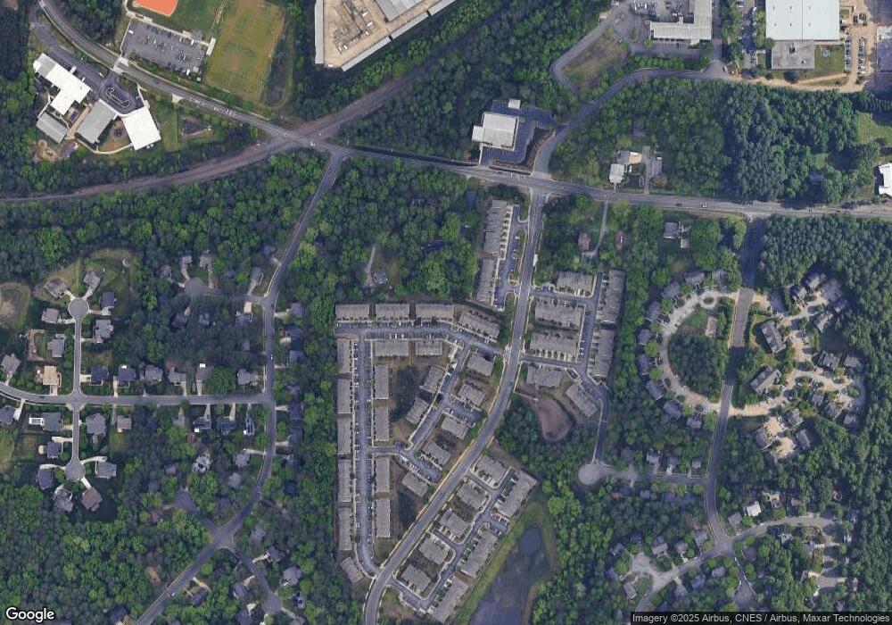
Map
Nearby Homes
- 112 Mt Evans Dr
- 6 Intuition Cir
- 4 Astor Ct
- 22 Durbin Place
- 128 Galway Glenn Ln
- 19 Providence Ct
- 13 Providence Ct
- 4441 Talcott Dr
- 4403 Valley Forge Rd
- 50 Galway Glenn Ln
- 74 Forest Oaks Dr
- 4111 Talcott Dr
- 10 Forest Oaks Dr
- 1229 Opal Ln
- 1221 Opal Ln
- 1217 Opal Ln
- 605 Blackwood Ct
- 10 Sunrise Place
- 4231 American Dr Unit C
- 409 Morreene Rd
- 202 Mt Evans Dr Unit 54
- 202 Mt Evans Dr Unit 66
- 202 Mt Evans Dr
- 204 Mt Evans Dr Unit 55
- 200 Mt Evans Dr
- 200 Mount Evans Dr
- 206 Mt Evans Dr Unit 56
- 206 Mt Evans Dr
- 208 Mount Evans Dr
- 210 Mt Evans Dr
- 114 Mt Evans Dr Unit 52
- 212 Mt Evans Dr
- 112 Mount Evans Dr
- 112 Mount Evans Dr Unit 51
- 112 Mt Evans Dr Unit 51
- 214 Mount Evans Dr
- 214 Mt Evans Dr Unit 60
- 214 Mt Evans Dr
- 110 Mt Evans Dr
- 110 Mount Evans Dr
Your Personal Tour Guide
Ask me questions while you tour the home.