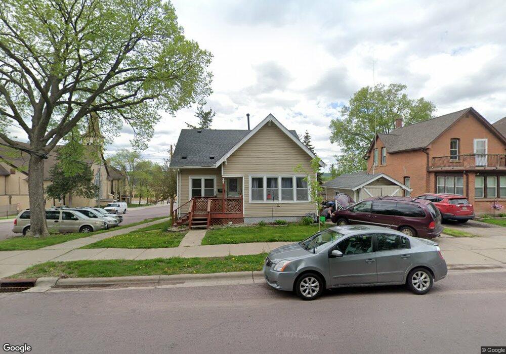
202 N 6th St Mankato, MN 56001
Washington Park NeighborhoodEstimated Value: $159,000 - $188,000
3
Beds
1
Bath
840
Sq Ft
$201/Sq Ft
Est. Value
About This Home
This home is located at 202 N 6th St, Mankato, MN 56001 and is currently estimated at $168,459, approximately $200 per square foot. 202 N 6th St is a home located in Blue Earth County with nearby schools including Franklin Elementary School, Prairie Winds Middle School, and Mankato East Senior High School.
Ownership History
Date
Name
Owned For
Owner Type
Purchase Details
Closed on
May 15, 2007
Sold by
Dohrer Tina M and Dohrer Jared W
Bought by
Wersal Amy M
Current Estimated Value
Home Financials for this Owner
Home Financials are based on the most recent Mortgage that was taken out on this home.
Original Mortgage
$109,500
Outstanding Balance
$66,787
Interest Rate
6.22%
Mortgage Type
New Conventional
Estimated Equity
$101,672
Create a Home Valuation Report for This Property
The Home Valuation Report is an in-depth analysis detailing your home's value as well as a comparison with similar homes in the area
Home Values in the Area
Average Home Value in this Area
Purchase History
| Date | Buyer | Sale Price | Title Company |
|---|---|---|---|
| Wersal Amy M | $110,000 | -- |
Source: Public Records
Mortgage History
| Date | Status | Borrower | Loan Amount |
|---|---|---|---|
| Open | Wersal Amy M | $109,500 |
Source: Public Records
Tax History Compared to Growth
Tax History
| Year | Tax Paid | Tax Assessment Tax Assessment Total Assessment is a certain percentage of the fair market value that is determined by local assessors to be the total taxable value of land and additions on the property. | Land | Improvement |
|---|---|---|---|---|
| 2025 | $1,152 | $128,300 | $11,400 | $116,900 |
| 2024 | $1,152 | $130,500 | $11,400 | $119,100 |
| 2023 | $1,188 | $132,100 | $11,400 | $120,700 |
| 2022 | $988 | $122,500 | $11,400 | $111,100 |
| 2021 | $974 | $100,800 | $11,400 | $89,400 |
| 2020 | $910 | $94,300 | $11,400 | $82,900 |
| 2019 | $896 | $94,300 | $11,400 | $82,900 |
| 2018 | $864 | $93,200 | $11,400 | $81,800 |
| 2017 | $744 | $90,800 | $11,400 | $79,400 |
| 2016 | $666 | $85,400 | $11,400 | $74,000 |
| 2015 | $6 | $79,900 | $11,400 | $68,500 |
| 2014 | $756 | $76,800 | $11,400 | $65,400 |
Source: Public Records
Map
Nearby Homes
- 202 Crocus Place
- 411 N Broad St
- E E Spring St
- 217 E Spring St
- 950 E Main St
- 622 N 5th St
- 619 N 4th St
- 0 Outlot A Block 1 Unit 7031909
- 610 E Vine St
- E E Vine St
- 326 E Vine St
- 322 E Vine St
- 817 N 4th St
- 709 Warren St
- 913 N 4th St
- 120 Wilson Way
- 0 Tbd Woodridge Unit 7036731
- 1112 Marsh St
- 133 Lincoln St
- 215 Parkway Place
- 524 524 E Mulberry St
- 524 E Mulberry St
- 208 N 6th St
- 208 N 6th St Unit 208 N 6th Street
- 208 N 6th St Unit 208 N Sixth Street
- 210 N 6th St
- 210 N 6th St Unit 210 N Sixth
- 520 E Mulberry St
- 520 520 E Mulberry St
- 205 N 6th St Unit 205 N 6th St
- 205 N 6th St
- 205 N 6th St Unit 205 N 6th Street
- 205 N 6th St Unit 205 N Sixth Street
- 207 N 6th St
- 214 N 6th St
- 214 N 6th St Unit 214 N. Sixth St.
- 211 211 N 6th St
- 211 N 6th St
- 203 N 6th St
- 218 N 6th St