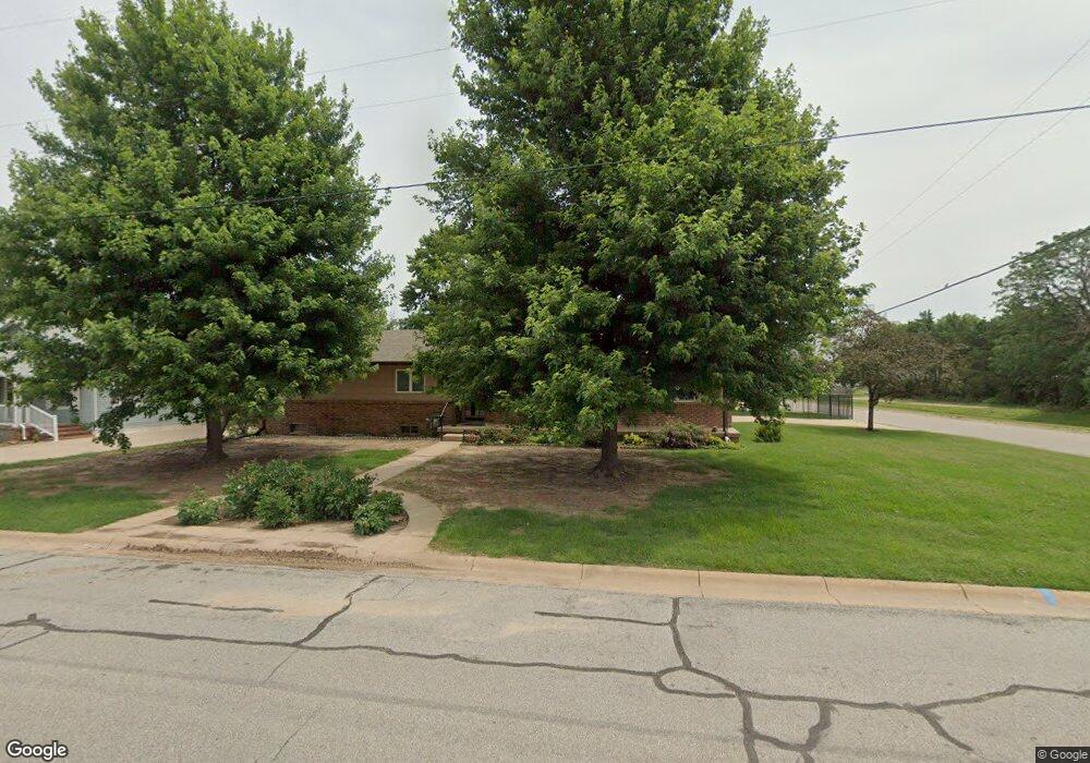
202 N Dale St Andale, KS 67001
Estimated Value: $283,943 - $308,000
3
Beds
2
Baths
1,716
Sq Ft
$172/Sq Ft
Est. Value
About This Home
This home is located at 202 N Dale St, Andale, KS 67001 and is currently estimated at $295,972, approximately $172 per square foot. 202 N Dale St is a home located in Sedgwick County with nearby schools including Andale Elementary/Middle School and Andale High School.
Ownership History
Date
Name
Owned For
Owner Type
Purchase Details
Closed on
Apr 20, 2023
Sold by
Lewick Diane K
Bought by
Lewick Diane K and Winter Stephenie D
Current Estimated Value
Purchase Details
Closed on
Apr 30, 2019
Sold by
Wayne M & Nancy J Hieger Joint Rev Tr
Bought by
Lewick Stephen H and Lewick Diane K
Home Financials for this Owner
Home Financials are based on the most recent Mortgage that was taken out on this home.
Original Mortgage
$147,250
Interest Rate
4.2%
Mortgage Type
New Conventional
Create a Home Valuation Report for This Property
The Home Valuation Report is an in-depth analysis detailing your home's value as well as a comparison with similar homes in the area
Home Values in the Area
Average Home Value in this Area
Purchase History
| Date | Buyer | Sale Price | Title Company |
|---|---|---|---|
| Lewick Diane K | -- | Security 1St Title | |
| Lewick Stephen H | $155,000 | Security 1St Title Llc |
Source: Public Records
Mortgage History
| Date | Status | Borrower | Loan Amount |
|---|---|---|---|
| Previous Owner | Lewick Stephen H | $147,250 |
Source: Public Records
Tax History Compared to Growth
Tax History
| Year | Tax Paid | Tax Assessment Tax Assessment Total Assessment is a certain percentage of the fair market value that is determined by local assessors to be the total taxable value of land and additions on the property. | Land | Improvement |
|---|---|---|---|---|
| 2025 | $3,720 | $27,750 | $5,543 | $22,207 |
| 2023 | $3,720 | $25,933 | $4,405 | $21,528 |
| 2022 | $3,499 | $23,277 | $4,152 | $19,125 |
| 2021 | $3,327 | $21,552 | $2,427 | $19,125 |
| 2020 | $3,064 | $20,142 | $2,427 | $17,715 |
| 2019 | $2,997 | $19,435 | $1,794 | $17,641 |
| 2018 | $1,749 | $19,435 | $1,794 | $17,641 |
| 2017 | $2,497 | $0 | $0 | $0 |
| 2016 | $1,325 | $0 | $0 | $0 |
| 2015 | $2,245 | $0 | $0 | $0 |
| 2014 | $1,457 | $0 | $0 | $0 |
Source: Public Records
Map
Nearby Homes
- 102 Finch Ct
- 6220 N 247th St W
- 24611 W Hedgecreek Cir
- Lot 13 Blk 1 Saddle Ridge at Andale
- Lot 1 Blk 1 Saddle Ridge at Andale
- BLK E Lot 1
- BLK A Lot 1
- BLK A Lot 4
- BLK D Lot 6
- BLK C Lot 3
- 21029 W Tower Lakes Cir
- 22015 W 101st St N
- 316 N Daily Rd
- 7 Woodland Ct
- 5 Woodland Ct
- 13101 E Maple Grove Rd
- 15120 W 70th Ct N
- Lot 4 Block 2 W Drover's Ln
- Lot 5 Block 2 W Drover's Ln
- Lot 2 Block 2 W Drover's Ln