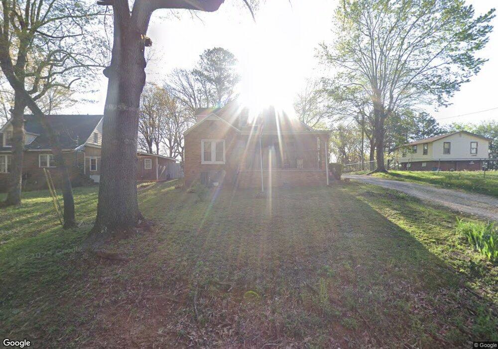
202 N Forrest Ave Camden, TN 38320
Estimated Value: $95,956 - $156,000
--
Bed
2
Baths
943
Sq Ft
$130/Sq Ft
Est. Value
About This Home
This home is located at 202 N Forrest Ave, Camden, TN 38320 and is currently estimated at $122,239, approximately $129 per square foot. 202 N Forrest Ave is a home located in Benton County with nearby schools including Camden Elementary School, Briarwood School, and Camden Junior High School.
Ownership History
Date
Name
Owned For
Owner Type
Purchase Details
Closed on
Jun 5, 1996
Sold by
Wheatley Eddie
Bought by
Dye Steven
Current Estimated Value
Purchase Details
Closed on
Jan 2, 1991
Bought by
Wheatley Eddie
Purchase Details
Closed on
Sep 19, 1978
Bought by
Hurt Charles H and Hurt Anita L
Create a Home Valuation Report for This Property
The Home Valuation Report is an in-depth analysis detailing your home's value as well as a comparison with similar homes in the area
Home Values in the Area
Average Home Value in this Area
Purchase History
| Date | Buyer | Sale Price | Title Company |
|---|---|---|---|
| Dye Steven | $34,800 | -- | |
| Wheatley Eddie | $16,200 | -- | |
| Hurt Charles H | -- | -- |
Source: Public Records
Tax History Compared to Growth
Tax History
| Year | Tax Paid | Tax Assessment Tax Assessment Total Assessment is a certain percentage of the fair market value that is determined by local assessors to be the total taxable value of land and additions on the property. | Land | Improvement |
|---|---|---|---|---|
| 2025 | $554 | $27,725 | $0 | $0 |
| 2024 | $554 | $15,100 | $2,250 | $12,850 |
| 2023 | $554 | $15,100 | $2,250 | $12,850 |
| 2022 | $575 | $15,675 | $2,250 | $13,425 |
| 2021 | $575 | $15,675 | $2,250 | $13,425 |
| 2020 | $575 | $15,675 | $2,250 | $13,425 |
| 2019 | $517 | $13,075 | $2,250 | $10,825 |
| 2018 | $517 | $13,075 | $2,250 | $10,825 |
| 2017 | $542 | $13,725 | $2,250 | $11,475 |
| 2016 | $542 | $13,725 | $2,250 | $11,475 |
| 2015 | $548 | $13,725 | $2,250 | $11,475 |
| 2014 | $496 | $13,725 | $2,250 | $11,475 |
| 2013 | $496 | $12,597 | $0 | $0 |
Source: Public Records
Map
Nearby Homes
- 186 N Forrest Ave
- 0 Forrest Ave N
- 121 Davidson St
- 215 Woodside St
- 170 N Forrest Ave
- 1762 Washington Ave
- 136 N Forrest Ave
- 134 N Church Ave
- 116 Magnolia St
- 197 Stigall St
- 116 N Church Ave
- 121 Washington Ave
- 120 Magnolia St
- 122 W Lake St
- 1 Maple Ave
- 0 Higdon Ck Rd Unit RTC2993447
- 130 Mimosa St
- 510 Longview St
- 0 George St
- 876 Flatwoods Rd
- 204 N Forrest Ave
- 198 N Forrest Ave
- 104 Sarvis St
- 106 Sarvis St
- 194 N Forrest Ave
- 195 N Forrest Ave
- 108 Sarvis St
- 192 N Forrest Ave
- 109 E Frazier St
- 101 Sarvis St
- 103 Sarvis St
- 115 E Frazier St
- 197 Eastview Ave
- 111 Sarvis St
- 193 Eastview Ave
- 104 W Frazier St
- 201 Eastview Ave
- 215 Orr Ave
- 196 Hillcrest Ave
- 198 Hillcrest Ave