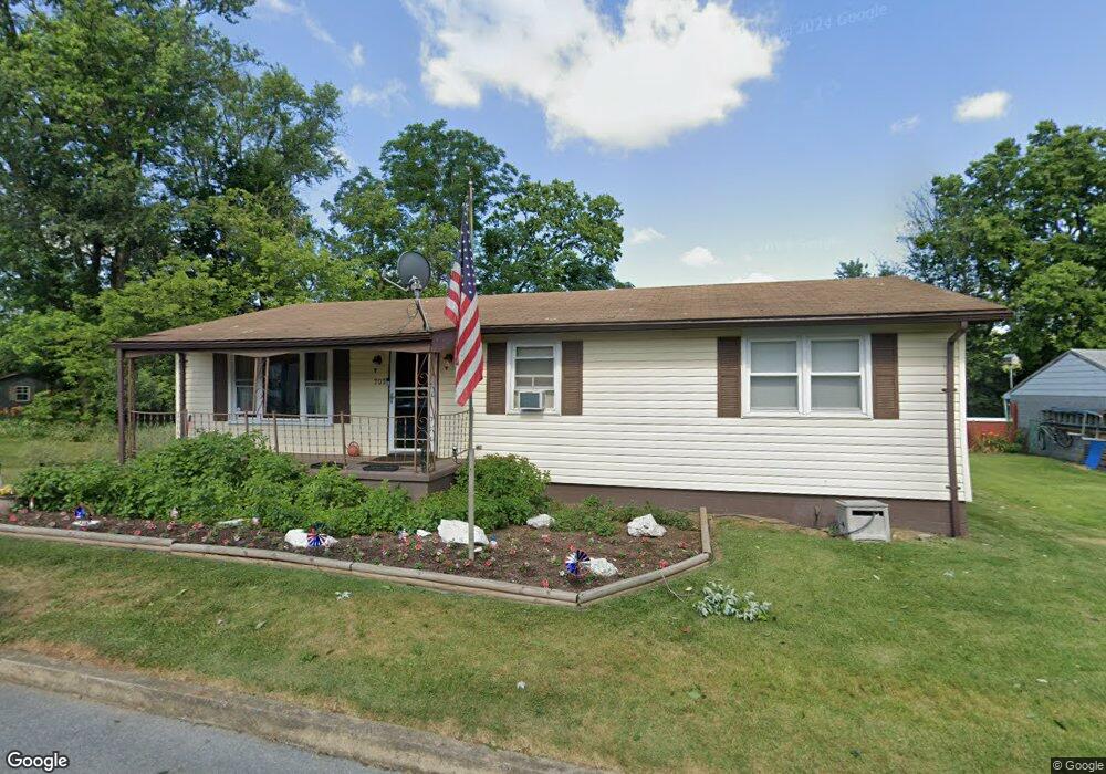
202 N High St Funkstown, MD 21734
Estimated Value: $220,000 - $284,503
--
Bed
--
Bath
1,104
Sq Ft
$221/Sq Ft
Est. Value
About This Home
This home is located at 202 N High St, Funkstown, MD 21734 and is currently estimated at $244,376, approximately $221 per square foot. 202 N High St is a home with nearby schools including Ruth Ann Monroe Primary School, Eastern Elementary School, and E. Russell Hicks Middle School.
Ownership History
Date
Name
Owned For
Owner Type
Purchase Details
Closed on
Dec 5, 1990
Sold by
Clark Elizabeth Marie
Bought by
Rossiter Timothy M and Rossiter Teresa L
Current Estimated Value
Home Financials for this Owner
Home Financials are based on the most recent Mortgage that was taken out on this home.
Original Mortgage
$75,000
Interest Rate
9.9%
Create a Home Valuation Report for This Property
The Home Valuation Report is an in-depth analysis detailing your home's value as well as a comparison with similar homes in the area
Home Values in the Area
Average Home Value in this Area
Purchase History
| Date | Buyer | Sale Price | Title Company |
|---|---|---|---|
| Rossiter Timothy M | $79,900 | -- |
Source: Public Records
Mortgage History
| Date | Status | Borrower | Loan Amount |
|---|---|---|---|
| Closed | Rossiter Timothy M | $75,000 |
Source: Public Records
Tax History Compared to Growth
Tax History
| Year | Tax Paid | Tax Assessment Tax Assessment Total Assessment is a certain percentage of the fair market value that is determined by local assessors to be the total taxable value of land and additions on the property. | Land | Improvement |
|---|---|---|---|---|
| 2025 | $1,430 | $192,800 | $0 | $0 |
| 2024 | $1,430 | $179,500 | $55,200 | $124,300 |
| 2023 | $1,353 | $164,033 | $0 | $0 |
| 2022 | $1,281 | $148,567 | $0 | $0 |
| 2021 | $1,216 | $133,100 | $55,200 | $77,900 |
| 2020 | $1,216 | $130,600 | $0 | $0 |
| 2019 | $1,198 | $128,100 | $0 | $0 |
| 2018 | $1,174 | $125,600 | $62,700 | $62,900 |
| 2017 | $1,168 | $124,900 | $0 | $0 |
| 2016 | -- | $124,200 | $0 | $0 |
| 2015 | -- | $123,500 | $0 | $0 |
| 2014 | $1,190 | $123,500 | $0 | $0 |
Source: Public Records
Map
Nearby Homes
- 104 Bethlehem Ct
- 24 W Cemetery St
- 12.3 AC Southern Blvd
- 1432 Oak Ridge Place
- 1619 Dual Hwy
- 628 Knightsbridge Dr
- 701 Beaver Creek Rd
- 622 Knightsbridge Dr
- 920 Frederick St
- 0 Kenly Ave
- 27 Hebb Rd
- 1203 Peppercorn Dr
- 1635 Edgewood Place Unit 2
- 1631 Edgewood Place Unit 103
- 1002 Brinker Dr Unit 302
- 1747 Edgewood Hill Cir Unit 201
- 1026 302 Brinker Dr
- 101 Tulip Ct
- 90 Charlotte St
- 1522 Dual Hwy
- 205 N High St
- 300 N High St
- 301 N High St
- 21 Wye Oak St
- 201 N High St
- 21 Wye Oak Dr
- 302 N High St
- 38 E Poplar St
- 36 E Poplar St
- 36 E Poplar St
- 36 E Poplar St
- 100 E Poplar St
- 10 Wye Oak St
- 10 Wye Oak Dr
- 303 N High St
- 102 E Poplar St
- 22 E Poplar St
- 19 Wye Oak Dr
- 22 E Poplar St
- 304 n. high st. f 30 N High St N Unit 304