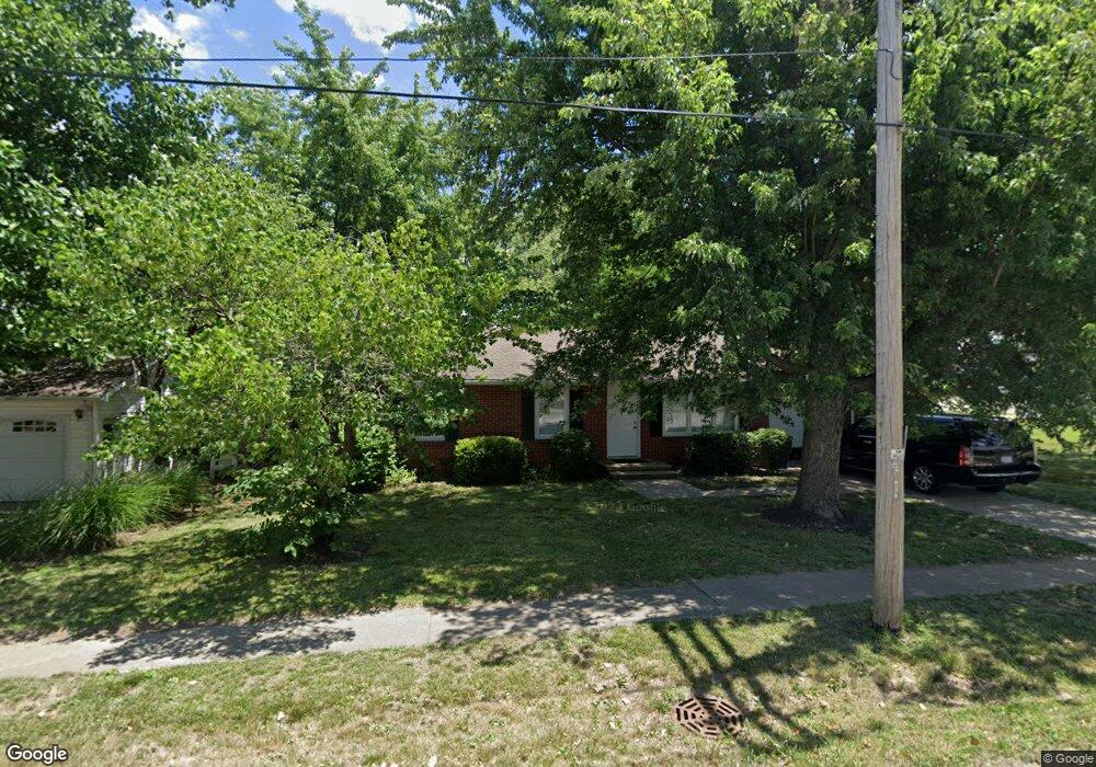
202 N Main St Ashland, MO 65010
Estimated Value: $195,000 - $251,000
3
Beds
2
Baths
1,066
Sq Ft
$206/Sq Ft
Est. Value
About This Home
This home is located at 202 N Main St, Ashland, MO 65010 and is currently estimated at $219,197, approximately $205 per square foot. 202 N Main St is a home located in Boone County with nearby schools including Southern Boone Primary School, Southern Boone Elementary School, and Southern Boone Middle School.
Ownership History
Date
Name
Owned For
Owner Type
Purchase Details
Closed on
Jun 22, 2012
Sold by
Wood Donald L
Bought by
Lasaters Loyd
Current Estimated Value
Purchase Details
Closed on
Nov 29, 2006
Sold by
Spratt Dolores J and Wood Roger D
Bought by
Wood Donald L
Purchase Details
Closed on
Nov 16, 2005
Sold by
Jefferson Bank
Bought by
Beck Stephen and Beck Bonnie J
Purchase Details
Closed on
Nov 14, 2005
Sold by
Beck Stephen Ray and Beck Bonnie Jo
Bought by
Spratt Dolores J and Wood Roger D
Create a Home Valuation Report for This Property
The Home Valuation Report is an in-depth analysis detailing your home's value as well as a comparison with similar homes in the area
Home Values in the Area
Average Home Value in this Area
Purchase History
| Date | Buyer | Sale Price | Title Company |
|---|---|---|---|
| Lasaters Loyd | -- | Boone Central Title Company | |
| Wood Donald L | -- | None Available | |
| Beck Stephen | -- | None Available | |
| Spratt Dolores J | -- | Boone-Central Title Co |
Source: Public Records
Tax History
| Year | Tax Paid | Tax Assessment Tax Assessment Total Assessment is a certain percentage of the fair market value that is determined by local assessors to be the total taxable value of land and additions on the property. | Land | Improvement |
|---|---|---|---|---|
| 2025 | $1,342 | $19,038 | $1,463 | $17,575 |
| 2024 | $1,177 | $16,625 | $1,463 | $15,162 |
| 2023 | $1,176 | $16,625 | $1,463 | $15,162 |
| 2022 | $1,098 | $15,390 | $1,463 | $13,927 |
| 2021 | $1,096 | $15,390 | $1,463 | $13,927 |
| 2020 | $1,020 | $14,250 | $1,463 | $12,787 |
| 2019 | $1,020 | $14,250 | $1,463 | $12,787 |
| 2018 | $902 | $0 | $0 | $0 |
| 2017 | $903 | $14,250 | $1,463 | $12,787 |
| 2016 | $905 | $14,250 | $1,463 | $12,787 |
| 2015 | $895 | $14,250 | $1,463 | $12,787 |
| 2014 | $898 | $14,250 | $1,463 | $12,787 |
Source: Public Records
Map
Nearby Homes
- 209 E Johnson Ave
- 104 Maple St
- 503 Redwood Dr
- 404 Circle Dr
- 602 Redwood Dr
- 601 Turner Ave
- 505 Sunshine Dr
- 609 Caspian Cir
- 3.2 ACRES Tr 2 Kristi Ln
- LOT 2 Eastside Dr
- LOT 5 Eastside Dr
- 502 Douglas Dr
- LOT 2 & 5 Eastside Dr
- 4855 Ambassador Rd
- 4885 Rebellion Ln
- TBD 3 18 Acre Lot 6 Middle Creek
- TBD 6 56 Acre Lot 7 Middle Creek
- TBD 5 57 Acre Lot 8 Middle Creek
- TBD 5 13 Acre Lot 3 Middle Creek
- TBD 5 69 Acre Lot 5 Middle Creek
- 200 N Main St
- 204 N Main St
- 201-203 Richardson Ct
- 206 N Main St
- 16360 Eagle Pass Dr
- 16305 Eagle Pass Dr
- 108 S Main St
- 102 Ash St
- 109 N Main St
- 200 Richardson Ct
- - N Main St
- 105 E Broadway
- 103 E Broadway
- 117 E Broadway
- 101 W Broadway
- 209 Bass St
- 125 E Broadway
- 110 W Broadway
- 107 W Broadway
- 106 E Broadway
Your Personal Tour Guide
Ask me questions while you tour the home.