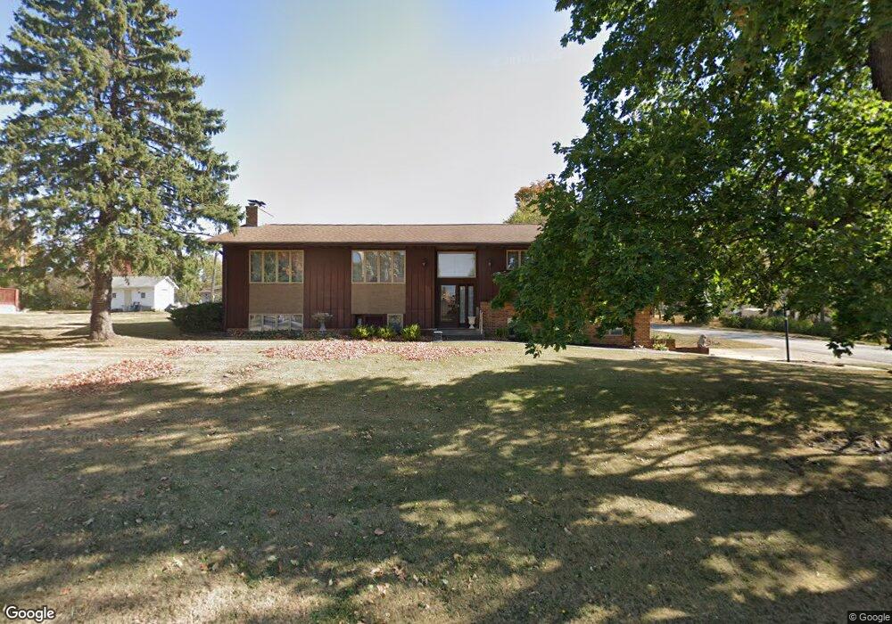
202 N Main St Dayton, IA 50530
Estimated Value: $184,000 - $217,000
4
Beds
2
Baths
1,846
Sq Ft
$105/Sq Ft
Est. Value
About This Home
This home is located at 202 N Main St, Dayton, IA 50530 and is currently estimated at $193,907, approximately $105 per square foot. 202 N Main St is a home located in Webster County with nearby schools including Dayton Center and Southeast Webster-Grand Southeast Valley Middle School.
Ownership History
Date
Name
Owned For
Owner Type
Purchase Details
Closed on
Jul 29, 2013
Sold by
Knopf Gary L
Bought by
Cooper Craig A and Cooper Susan L
Current Estimated Value
Purchase Details
Closed on
Jun 5, 2009
Sold by
Knopf Gary L
Bought by
Cooper Craig A and Cooper Susan L
Create a Home Valuation Report for This Property
The Home Valuation Report is an in-depth analysis detailing your home's value as well as a comparison with similar homes in the area
Home Values in the Area
Average Home Value in this Area
Purchase History
| Date | Buyer | Sale Price | Title Company |
|---|---|---|---|
| Cooper Craig A | $7,000 | None Available | |
| Cooper Craig A | $7,000 | None Available |
Source: Public Records
Tax History Compared to Growth
Tax History
| Year | Tax Paid | Tax Assessment Tax Assessment Total Assessment is a certain percentage of the fair market value that is determined by local assessors to be the total taxable value of land and additions on the property. | Land | Improvement |
|---|---|---|---|---|
| 2025 | $3,200 | $237,580 | $10,170 | $227,410 |
| 2024 | $3,200 | $183,930 | $10,170 | $173,760 |
| 2023 | $2,172 | $183,930 | $10,170 | $173,760 |
| 2022 | $2,246 | $129,740 | $10,170 | $119,570 |
| 2021 | $3,036 | $129,740 | $10,170 | $119,570 |
| 2020 | $3,036 | $156,020 | $10,170 | $145,850 |
| 2019 | $3,478 | $158,910 | $14,530 | $144,380 |
| 2018 | $3,432 | $163,220 | $13,210 | $150,010 |
| 2017 | $3,432 | $124,300 | $0 | $0 |
| 2016 | $2,582 | $124,300 | $0 | $0 |
| 2015 | $2,582 | $124,300 | $0 | $0 |
| 2014 | $2,696 | $124,300 | $0 | $0 |
Source: Public Records
Map
Nearby Homes
- 106 4th Ave NE
- 207 2nd Ave NW
- 307 1st Ave NW
- 1914251008 Parcel Nos 1914251008 and 1914251003
- 308 3rd Ave SW
- 2929 Highway 175
- 3024 Skillet Creek Rd
- 3877 River Rd
- 0 Tbd Quail Ave
- 2205 350th St
- 2218 380th St
- 208 Larch St
- 30813 Paragon Ave
- 3111 Taylor Ave
- 0 Racine Ave
- 000 Racine Ave
- 3331 380th St
- 647 Maple St
- 56344 130th St
- 2141 320th St