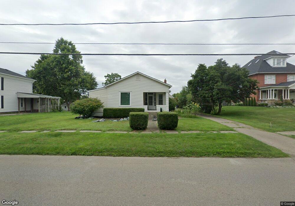
202 N Main St Johnstown, OH 43031
Estimated Value: $365,000 - $422,000
4
Beds
2
Baths
1,900
Sq Ft
$203/Sq Ft
Est. Value
About This Home
This home is located at 202 N Main St, Johnstown, OH 43031 and is currently estimated at $385,004, approximately $202 per square foot. 202 N Main St is a home located in Licking County with nearby schools including Johnstown Middle School and Johnstown High School.
Ownership History
Date
Name
Owned For
Owner Type
Purchase Details
Closed on
May 17, 2021
Sold by
Willis Nancy Ashbrook
Bought by
Grabill David and Grabill Michelle
Current Estimated Value
Purchase Details
Closed on
Oct 16, 2007
Sold by
Hinson Evelyn R and Hinson Larry J
Bought by
Grabill David and Grabill Michelle
Home Financials for this Owner
Home Financials are based on the most recent Mortgage that was taken out on this home.
Original Mortgage
$130,000
Outstanding Balance
$82,387
Interest Rate
6.5%
Mortgage Type
Unknown
Estimated Equity
$302,617
Create a Home Valuation Report for This Property
The Home Valuation Report is an in-depth analysis detailing your home's value as well as a comparison with similar homes in the area
Home Values in the Area
Average Home Value in this Area
Purchase History
| Date | Buyer | Sale Price | Title Company |
|---|---|---|---|
| Grabill David | $50,000 | Crown Techne Title Agency | |
| Grabill David | $139,900 | Ohio Title |
Source: Public Records
Mortgage History
| Date | Status | Borrower | Loan Amount |
|---|---|---|---|
| Open | Grabill David | $130,000 |
Source: Public Records
Tax History Compared to Growth
Tax History
| Year | Tax Paid | Tax Assessment Tax Assessment Total Assessment is a certain percentage of the fair market value that is determined by local assessors to be the total taxable value of land and additions on the property. | Land | Improvement |
|---|---|---|---|---|
| 2024 | $4,069 | $97,480 | $33,570 | $63,910 |
| 2023 | $4,101 | $97,480 | $33,570 | $63,910 |
| 2022 | $2,445 | $54,670 | $20,160 | $34,510 |
| 2021 | $2,557 | $54,670 | $20,160 | $34,510 |
| 2020 | $2,586 | $54,670 | $20,160 | $34,510 |
| 2019 | $2,285 | $44,420 | $16,800 | $27,620 |
| 2018 | $2,299 | $0 | $0 | $0 |
| 2017 | $2,509 | $0 | $0 | $0 |
| 2016 | $2,674 | $0 | $0 | $0 |
| 2015 | $2,720 | $0 | $0 | $0 |
| 2014 | $3,635 | $0 | $0 | $0 |
| 2013 | $2,334 | $0 | $0 | $0 |
Source: Public Records
Map
Nearby Homes
- 216 N Main St
- 111 Edwards Rd
- 201 Willow Trail Dr Unit 201
- 109 Butternut Cove Place
- 00- Johnstown Utica Rd
- Rte 62 Johnstown Utica Rd
- 65 Benedict Dr
- 76 Yardner St
- 76 Yardner St Unit 21
- 137 S Oregon St
- 359 Buena Vista Dr
- 93 W College Ave
- 163 Valleyview Dr
- 165 W Jersey St
- 369 Hillview Dr
- 459 Sunset Dr
- 557 Cannondale Ave
- 199 Sunset Dr S
- 7891 Johnstown-Alexandria Rd
- 416 Fox Dr
- 190 N Main St
- 224 N Main St
- 238 N Main St
- 168 N Main St
- 0 N Main St Unit 2920641
- 0 N Main St Unit 221010655
- 0 N Main St Unit 221010648
- 214 N Main St
- 0 N Main St Unit 219017293
- 0 N Main St
- 217 N Main St
- 197 N Main St
- 179 N Main St
- 39 Leafy Knoll Way
- 158 N Main St
- 225 N Main St
- 43 Leafy Knoll Way
- 211 Stone Hedge Row Dr
- 64 Pepperwood Place
- 177 N Main St