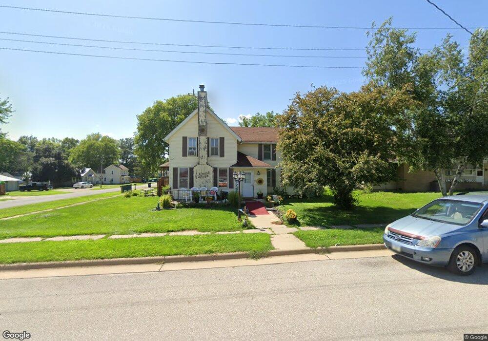
202 N Main St Wheatland, IA 52777
Estimated Value: $170,000 - $184,799
4
Beds
2
Baths
1,920
Sq Ft
$93/Sq Ft
Est. Value
About This Home
This home is located at 202 N Main St, Wheatland, IA 52777 and is currently estimated at $179,200, approximately $93 per square foot. 202 N Main St is a home located in Clinton County with nearby schools including Calamus Wheatland High School.
Create a Home Valuation Report for This Property
The Home Valuation Report is an in-depth analysis detailing your home's value as well as a comparison with similar homes in the area
Home Values in the Area
Average Home Value in this Area
Tax History Compared to Growth
Tax History
| Year | Tax Paid | Tax Assessment Tax Assessment Total Assessment is a certain percentage of the fair market value that is determined by local assessors to be the total taxable value of land and additions on the property. | Land | Improvement |
|---|---|---|---|---|
| 2025 | $1,956 | $165,210 | $14,020 | $151,190 |
| 2024 | $1,956 | $155,620 | $14,020 | $141,600 |
| 2023 | $2,044 | $155,620 | $14,020 | $141,600 |
| 2022 | $18 | $143,820 | $14,020 | $129,800 |
| 2021 | $1,648 | $112,620 | $12,610 | $100,010 |
| 2020 | $1,648 | $100,840 | $12,610 | $88,230 |
| 2019 | $1,506 | $94,960 | $0 | $0 |
| 2018 | $1,178 | $94,960 | $0 | $0 |
| 2017 | $1,178 | $77,320 | $0 | $0 |
| 2016 | $1,546 | $99,660 | $0 | $0 |
| 2015 | $1,546 | $99,660 | $0 | $0 |
| 2014 | $1,516 | $99,660 | $0 | $0 |
| 2013 | $1,552 | $0 | $0 | $0 |
Source: Public Records
Map
Nearby Homes
- 205 E Lincoln Way
- 408 Terrace Dr
- 115 W Lincolnway St
- 211 W Washington St
- 308 N Wright St
- 1155 250th St
- 2585 130th Ave
- 2351 105th Ave
- 2173 110th Ave
- 1596 230th St
- 106 Creek Rd
- 104 Creek Rd
- 206 Winter St
- 101 Augusta Dr
- 98 1st St
- 205 Hall Ave
- 401 Jefferson Ave
- 501 Jefferson Ave
- TBD 210th St
- 614 Main St