202 N Taylor St Unit 204 Hebron, IN 46341
Porter County NeighborhoodEstimated Value: $242,000 - $348,000
8
Beds
4
Baths
3,216
Sq Ft
$95/Sq Ft
Est. Value
About This Home
This home is located at 202 N Taylor St Unit 204, Hebron, IN 46341 and is currently estimated at $305,086, approximately $94 per square foot. 202 N Taylor St Unit 204 is a home located in Porter County with nearby schools including Hebron Elementary School, Hebron Middle School, and Hebron High School.
Ownership History
Date
Name
Owned For
Owner Type
Purchase Details
Closed on
May 7, 2020
Sold by
Martin D Mckay Living Trust
Bought by
Sharon K Mckay Living Trust
Current Estimated Value
Purchase Details
Closed on
Oct 3, 2005
Sold by
Mckay Sharon K and Sharon K Mckay Living Trust
Bought by
The Martin D Mckay Living Trust
Create a Home Valuation Report for This Property
The Home Valuation Report is an in-depth analysis detailing your home's value as well as a comparison with similar homes in the area
Home Values in the Area
Average Home Value in this Area
Purchase History
| Date | Buyer | Sale Price | Title Company |
|---|---|---|---|
| Sharon K Mckay Living Trust | -- | None Available | |
| The Martin D Mckay Living Trust | -- | -- |
Source: Public Records
Tax History Compared to Growth
Tax History
| Year | Tax Paid | Tax Assessment Tax Assessment Total Assessment is a certain percentage of the fair market value that is determined by local assessors to be the total taxable value of land and additions on the property. | Land | Improvement |
|---|---|---|---|---|
| 2024 | $6,288 | $280,700 | $35,000 | $245,700 |
| 2023 | $6,290 | $280,700 | $35,000 | $245,700 |
| 2022 | $6,203 | $280,700 | $35,000 | $245,700 |
| 2021 | $3,888 | $172,000 | $29,000 | $143,000 |
| 2020 | $3,881 | $172,000 | $29,000 | $143,000 |
| 2019 | $3,875 | $172,000 | $29,000 | $143,000 |
| 2018 | $3,881 | $172,000 | $29,000 | $143,000 |
| 2017 | $3,881 | $172,000 | $29,000 | $143,000 |
| 2016 | $3,881 | $172,000 | $29,000 | $143,000 |
| 2014 | $3,841 | $172,000 | $29,000 | $143,000 |
| 2013 | -- | $265,800 | $29,000 | $236,800 |
Source: Public Records
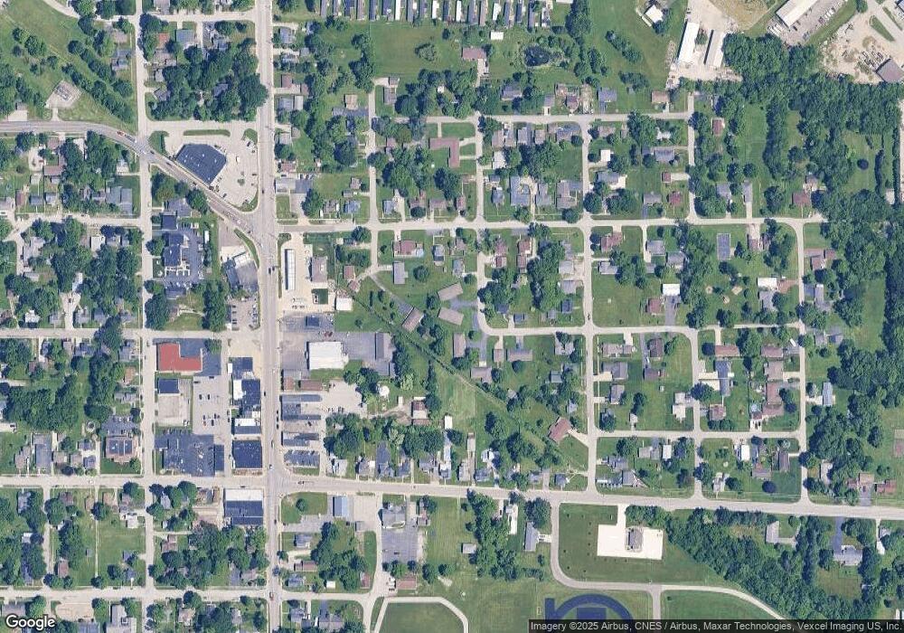
Map
Nearby Homes
- 308 E Bates St
- 202 N Lincoln St
- 209 W Bates St
- 606 N Main St
- 515 Tamarack Trail
- 409 S Jefferson St
- 21 Marvin Gardens Ave
- 709 Beverly Dr
- 96 Hickory Ave
- 521 Ryan Rd
- 587 Marcella St
- 585 Marcella St
- 709 W Wilson St
- 118 Cherry Ct
- 0 State Road 2 Unit NRA828209
- 431 Fry St
- 433 Fry St
- 435 Fry St
- 437 Fry St
- 439 Fry St
- 206 N Taylor St
- 206 E Bates St
- 203 N Taylor St
- 208 N Taylor St
- 201 N Taylor St
- 302 E Bates St
- 205 N Lincoln St
- 304 E Bates St
- 201 N Lincoln St
- 204 E Bates St
- 300 E Alyea St
- 302 E Alyea St Unit 304
- 306 E Bates St
- 202 N Quincy St
- 207 E Bates St
- 205 E Bates St
- 204 N Quincy St
- 301 E Bates St
- 203 E Bates St
- 112 N Quincy St