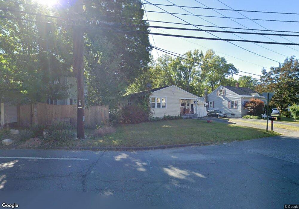
202 Nonotuck St Florence, MA 01062
Florence NeighborhoodEstimated Value: $319,000 - $386,000
3
Beds
1
Bath
972
Sq Ft
$357/Sq Ft
Est. Value
About This Home
This home is located at 202 Nonotuck St, Florence, MA 01062 and is currently estimated at $346,710, approximately $356 per square foot. 202 Nonotuck St is a home located in Hampshire County with nearby schools including Northampton High School, The Montessori School of Northampton, and Lander Grinspoon Academy.
Ownership History
Date
Name
Owned For
Owner Type
Purchase Details
Closed on
Oct 31, 1991
Sold by
Tomaskowicz Merrill M and Tomaskowicz Claire
Bought by
Cournoyer Lorna D
Current Estimated Value
Home Financials for this Owner
Home Financials are based on the most recent Mortgage that was taken out on this home.
Original Mortgage
$98,441
Interest Rate
8.9%
Mortgage Type
Purchase Money Mortgage
Create a Home Valuation Report for This Property
The Home Valuation Report is an in-depth analysis detailing your home's value as well as a comparison with similar homes in the area
Home Values in the Area
Average Home Value in this Area
Purchase History
| Date | Buyer | Sale Price | Title Company |
|---|---|---|---|
| Cournoyer Lorna D | $98,000 | -- |
Source: Public Records
Mortgage History
| Date | Status | Borrower | Loan Amount |
|---|---|---|---|
| Closed | Cournoyer Lorna D | $96,166 | |
| Closed | Cournoyer Lorna D | $98,441 |
Source: Public Records
Tax History Compared to Growth
Tax History
| Year | Tax Paid | Tax Assessment Tax Assessment Total Assessment is a certain percentage of the fair market value that is determined by local assessors to be the total taxable value of land and additions on the property. | Land | Improvement |
|---|---|---|---|---|
| 2025 | $3,499 | $251,200 | $111,400 | $139,800 |
| 2024 | $3,693 | $243,100 | $111,400 | $131,700 |
| 2023 | $3,453 | $218,000 | $101,200 | $116,800 |
| 2022 | $3,236 | $180,900 | $101,200 | $79,700 |
| 2021 | $2,847 | $163,900 | $96,400 | $67,500 |
| 2020 | $2,754 | $163,900 | $96,400 | $67,500 |
| 2019 | $2,739 | $157,700 | $96,400 | $61,300 |
| 2018 | $2,781 | $163,200 | $96,400 | $66,800 |
| 2017 | $2,724 | $163,200 | $96,400 | $66,800 |
| 2016 | $2,637 | $163,200 | $96,400 | $66,800 |
| 2015 | $2,413 | $152,700 | $94,400 | $58,300 |
| 2014 | $2,350 | $152,700 | $94,400 | $58,300 |
Source: Public Records
Map
Nearby Homes
- 225 Nonotuck St Unit C
- 37 Landy Ave
- 36 Landy Ave
- 67 Park St Unit A
- 67 Park St Unit B
- 67 Park St Unit D
- 76 Maple St
- 152 S Main St Unit 8
- 152 S Main St Unit 4
- 84 N Main St
- 325 Riverside Dr
- 11 Norwood Ave
- 321 Riverside Dr
- 269 Ryan Rd
- 63 Riverside Dr
- 0 Terrace Ln
- 384 Spring St
- 138 Overlook Dr
- 39 Matthew Dr
- 61 Woodlawn Ave
- 7 Maple St
- 198 Nonotuck St
- 201 Nonotuck St
- 190 Nonotuck St Unit 2
- 190 Nonotuck St Unit 3
- 190 Nonotuck St Unit 107
- 190 Nonotuck St Unit 5
- 190 Nonotuck St Unit U7
- 190 Nonotuck St Unit 104
- 190 Nonotuck St Unit Suite 106
- 190 Nonotuck St
- 197 Nonotuck St
- 205 Nonotuck St
- 6 Maple St
- 9 Maple St
- 12 Maple St
- 193 Nonotuck St
- 15 Maple St
- 648 Riverside Dr
- 225 Nonotuck St Unit A,B,C