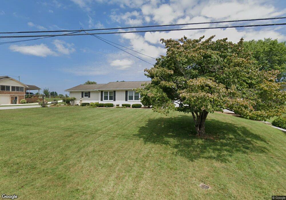
202 Oakland Dr Sparta, TN 38583
Estimated Value: $307,349 - $471,000
4
Beds
3
Baths
3,471
Sq Ft
$110/Sq Ft
Est. Value
About This Home
This home is located at 202 Oakland Dr, Sparta, TN 38583 and is currently estimated at $381,450, approximately $109 per square foot. 202 Oakland Dr is a home located in White County with nearby schools including Findlay Elementary School, White County Middle School, and White County High School.
Ownership History
Date
Name
Owned For
Owner Type
Purchase Details
Closed on
Dec 12, 2012
Sold by
Nesmith Eloise
Bought by
Sullivan Joe H and Sullivan Vauda C
Current Estimated Value
Home Financials for this Owner
Home Financials are based on the most recent Mortgage that was taken out on this home.
Original Mortgage
$200,000
Outstanding Balance
$137,643
Interest Rate
3.38%
Mortgage Type
Commercial
Estimated Equity
$243,807
Purchase Details
Closed on
Oct 30, 2003
Sold by
James Gillen and James Lisa
Bought by
Edsel Nesmith and Edsel Eloise
Purchase Details
Closed on
Aug 28, 1997
Sold by
Ward James C
Bought by
Gillen James L and Gillen Lisa D
Create a Home Valuation Report for This Property
The Home Valuation Report is an in-depth analysis detailing your home's value as well as a comparison with similar homes in the area
Home Values in the Area
Average Home Value in this Area
Purchase History
| Date | Buyer | Sale Price | Title Company |
|---|---|---|---|
| Sullivan Joe H | $225,000 | -- | |
| Edsel Nesmith | $130,000 | -- | |
| Gillen James L | $90,000 | -- |
Source: Public Records
Mortgage History
| Date | Status | Borrower | Loan Amount |
|---|---|---|---|
| Open | Sullivan Joe H | $200,000 |
Source: Public Records
Tax History Compared to Growth
Tax History
| Year | Tax Paid | Tax Assessment Tax Assessment Total Assessment is a certain percentage of the fair market value that is determined by local assessors to be the total taxable value of land and additions on the property. | Land | Improvement |
|---|---|---|---|---|
| 2025 | -- | $100,525 | $0 | $0 |
| 2024 | -- | $54,125 | $6,250 | $47,875 |
| 2023 | $1,607 | $54,125 | $6,250 | $47,875 |
| 2022 | $1,607 | $54,125 | $6,250 | $47,875 |
| 2021 | $1,607 | $54,125 | $6,250 | $47,875 |
| 2020 | $1,607 | $54,125 | $6,250 | $47,875 |
| 2019 | $1,172 | $37,800 | $4,500 | $33,300 |
| 2018 | $1,172 | $37,800 | $4,500 | $33,300 |
| 2017 | $1,172 | $37,800 | $4,500 | $33,300 |
| 2016 | $1,172 | $37,800 | $4,500 | $33,300 |
| 2015 | $1,096 | $37,800 | $4,500 | $33,300 |
| 2014 | -- | $37,800 | $4,500 | $33,300 |
| 2013 | -- | $37,725 | $4,500 | $33,225 |
Source: Public Records
Map
Nearby Homes
- 210 Gillen Dr
- 202 Gillen Dr
- 249 N Spring St
- 0 Moore St
- 23 Acres Moore St
- 23 AC Moore St
- 113 N Spring St
- 21 Ac N Spring St
- 301 W Everett St
- 147 Sunrise Ridge Dr
- 0 N Main St
- 548 Turntable Rd
- 548 Turn Table Rd
- 25 Mayberry St
- 244 W Bockman Way
- 00 N Spring St
- 105 N Church St
- 112 N Church St
- 107 N Main St
- 0 Millers Point Rd