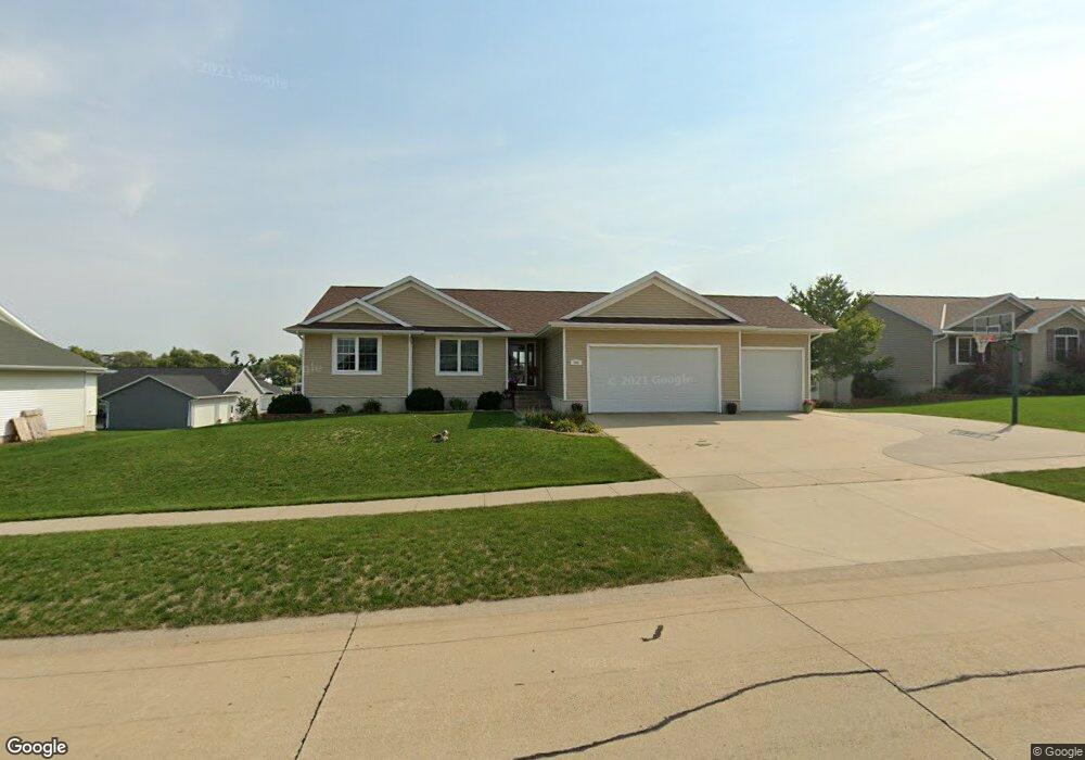
202 Pheasant Ave Atkins, IA 52206
Estimated Value: $302,000 - $379,000
4
Beds
4
Baths
1,603
Sq Ft
$217/Sq Ft
Est. Value
About This Home
This home is located at 202 Pheasant Ave, Atkins, IA 52206 and is currently estimated at $348,043, approximately $217 per square foot. 202 Pheasant Ave is a home located in Benton County with nearby schools including Benton Community Senior High School.
Ownership History
Date
Name
Owned For
Owner Type
Purchase Details
Closed on
May 31, 2005
Sold by
Wharton Custom Homes Inc
Bought by
Lyons Ronald J and Lyons Renee J
Current Estimated Value
Home Financials for this Owner
Home Financials are based on the most recent Mortgage that was taken out on this home.
Original Mortgage
$181,516
Outstanding Balance
$95,069
Interest Rate
5.91%
Mortgage Type
New Conventional
Estimated Equity
$252,974
Purchase Details
Closed on
Mar 31, 2005
Sold by
Wharton Brian and Wharton Jill
Bought by
Wharton Custom Homes Inc
Home Financials for this Owner
Home Financials are based on the most recent Mortgage that was taken out on this home.
Original Mortgage
$54,600
Interest Rate
5.88%
Mortgage Type
Construction
Create a Home Valuation Report for This Property
The Home Valuation Report is an in-depth analysis detailing your home's value as well as a comparison with similar homes in the area
Home Values in the Area
Average Home Value in this Area
Purchase History
| Date | Buyer | Sale Price | Title Company |
|---|---|---|---|
| Lyons Ronald J | $227,000 | None Available | |
| Wharton Custom Homes Inc | -- | None Available |
Source: Public Records
Mortgage History
| Date | Status | Borrower | Loan Amount |
|---|---|---|---|
| Open | Lyons Ronald J | $181,516 | |
| Previous Owner | Wharton Custom Homes Inc | $54,600 |
Source: Public Records
Tax History Compared to Growth
Tax History
| Year | Tax Paid | Tax Assessment Tax Assessment Total Assessment is a certain percentage of the fair market value that is determined by local assessors to be the total taxable value of land and additions on the property. | Land | Improvement |
|---|---|---|---|---|
| 2025 | $4,316 | $325,200 | $50,900 | $274,300 |
| 2024 | $4,316 | $302,000 | $50,400 | $251,600 |
| 2023 | $4,080 | $302,000 | $50,400 | $251,600 |
| 2022 | $4,046 | $257,400 | $40,400 | $217,000 |
| 2021 | $4,046 | $257,400 | $40,400 | $217,000 |
| 2020 | $3,760 | $263,700 | $35,300 | $228,400 |
| 2019 | $3,812 | $263,700 | $35,300 | $228,400 |
| 2018 | $3,742 | $265,300 | $32,700 | $232,600 |
| 2017 | $3,746 | $265,300 | $32,700 | $232,600 |
| 2016 | $3,712 | $245,700 | $30,300 | $215,400 |
| 2015 | $3,712 | $245,700 | $30,300 | $215,400 |
| 2014 | $3,526 | $232,300 | $0 | $0 |
Source: Public Records
Map
Nearby Homes
- 200 Pheasant Ave
- 204 Pheasant Ave
- 205 Cardinal Ave
- 203 Pheasant Ave
- 205 Pheasant Ave
- 108 Pheasant Ave
- 301 Cardinal Ave
- 201 Pheasant Ave
- 300 Pheasant Ave
- 109 Cardinal Ave
- 301 Pheasant Ave
- 201 Cardinal Ave
- 202 Cardinal Ave
- 109 Pheasant Ave
- 106 Pheasant Ave
- 303 Cardinal Ave
- 204 Cardinal Ave
- 107 Cardinal Ave
- 303 Pheasant Ave
- 300 Cardinal Ave