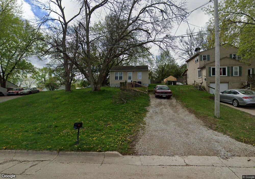
202 Philip St Des Moines, IA 50315
Watrous Heights NeighborhoodEstimated Value: $95,138 - $148,000
2
Beds
1
Bath
480
Sq Ft
$250/Sq Ft
Est. Value
About This Home
This home is located at 202 Philip St, Des Moines, IA 50315 and is currently estimated at $119,785, approximately $249 per square foot. 202 Philip St is a home located in Polk County with nearby schools including South Union Elementary School, Brody Middle School, and Lincoln High School.
Ownership History
Date
Name
Owned For
Owner Type
Purchase Details
Closed on
Nov 6, 2000
Sold by
Jarshaw Elizabeth L
Bought by
Pasutti Robert M and Pasutti Sharon M
Current Estimated Value
Purchase Details
Closed on
Nov 5, 2000
Sold by
Pasutti Robert M and Pasutti Sharon M
Bought by
Scaglione Victor J and Scaglione Lori
Purchase Details
Closed on
Nov 3, 2000
Sold by
Scaglione Victor J and Scaglione Lori
Bought by
Andreini Ryan
Purchase Details
Closed on
Feb 5, 1999
Sold by
Pasutti Robert M
Bought by
Scaglione Victor J and Scaglione Anthony J
Home Financials for this Owner
Home Financials are based on the most recent Mortgage that was taken out on this home.
Original Mortgage
$21,000
Interest Rate
8%
Mortgage Type
Seller Take Back
Purchase Details
Closed on
Nov 11, 1997
Sold by
Jarshaw Elizabeth L
Bought by
Pasutti Robert M
Create a Home Valuation Report for This Property
The Home Valuation Report is an in-depth analysis detailing your home's value as well as a comparison with similar homes in the area
Home Values in the Area
Average Home Value in this Area
Purchase History
| Date | Buyer | Sale Price | Title Company |
|---|---|---|---|
| Pasutti Robert M | $19,500 | -- | |
| Scaglione Victor J | $21,500 | -- | |
| Andreini Ryan | $22,500 | -- | |
| Scaglione Victor J | $22,000 | -- | |
| Pasutti Robert M | $20,000 | -- |
Source: Public Records
Mortgage History
| Date | Status | Borrower | Loan Amount |
|---|---|---|---|
| Previous Owner | Scaglione Victor J | $21,000 |
Source: Public Records
Tax History Compared to Growth
Tax History
| Year | Tax Paid | Tax Assessment Tax Assessment Total Assessment is a certain percentage of the fair market value that is determined by local assessors to be the total taxable value of land and additions on the property. | Land | Improvement |
|---|---|---|---|---|
| 2025 | $1,534 | $87,700 | $35,800 | $51,900 |
| 2024 | $1,534 | $78,000 | $31,300 | $46,700 |
| 2023 | $1,524 | $78,000 | $31,300 | $46,700 |
| 2022 | $1,514 | $64,700 | $25,800 | $38,900 |
| 2021 | $1,418 | $64,700 | $25,800 | $38,900 |
| 2020 | $1,472 | $56,800 | $22,600 | $34,200 |
| 2019 | $1,362 | $56,800 | $22,600 | $34,200 |
| 2018 | $1,348 | $50,700 | $19,900 | $30,800 |
| 2017 | $1,266 | $50,700 | $19,900 | $30,800 |
| 2016 | $1,234 | $46,800 | $18,100 | $28,700 |
| 2015 | $1,234 | $46,800 | $18,100 | $28,700 |
| 2014 | $1,286 | $50,200 | $19,100 | $31,100 |
Source: Public Records
Map
Nearby Homes
- 304 Herold Ave
- 115 Mckinley Ave
- 102 E Emma Ave
- 108 E Philip St
- 515 Emma Ave
- 518 Maxwelton Dr
- 126 E Maxwelton Dr
- 612 Emma Ave
- 209 E Philip St
- 212 Titus Ave
- 311 E Emma Ave
- 4204 SW 7th St
- 117 E Watrous Ave
- 606 Marion St
- 299 Hackley Ave
- 4316 SE 4th St
- . Herold Ave
- 409 Wilmers Ave
- 520 Hackley Ave
- 117 E Rose Ave