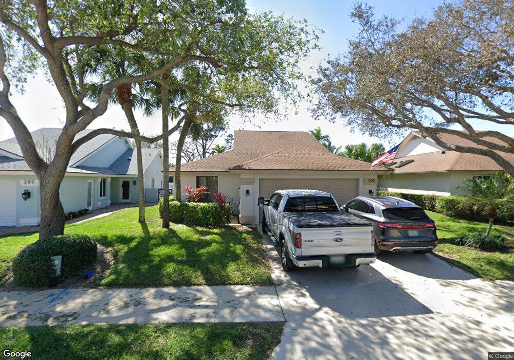
202 Ridge Rd Jupiter, FL 33477
The Bluffs NeighborhoodEstimated Value: $828,000 - $1,256,000
3
Beds
2
Baths
1,850
Sq Ft
$565/Sq Ft
Est. Value
About This Home
This home is located at 202 Ridge Rd, Jupiter, FL 33477 and is currently estimated at $1,045,257, approximately $565 per square foot. 202 Ridge Rd is a home located in Palm Beach County with nearby schools including William T. Dwyer High School, Lighthouse Elementary School, and Beacon Cove Intermediate School.
Ownership History
Date
Name
Owned For
Owner Type
Purchase Details
Closed on
May 8, 2012
Sold by
Robinson Deborah L
Bought by
Robinson Steven R and Robinson Deborah L
Current Estimated Value
Purchase Details
Closed on
Mar 12, 2002
Sold by
Snell Hyman T
Bought by
Robinson Deborah L
Home Financials for this Owner
Home Financials are based on the most recent Mortgage that was taken out on this home.
Original Mortgage
$175,000
Outstanding Balance
$70,460
Interest Rate
6.98%
Estimated Equity
$974,797
Create a Home Valuation Report for This Property
The Home Valuation Report is an in-depth analysis detailing your home's value as well as a comparison with similar homes in the area
Home Values in the Area
Average Home Value in this Area
Purchase History
| Date | Buyer | Sale Price | Title Company |
|---|---|---|---|
| Robinson Steven R | -- | None Available | |
| Robinson Deborah L | $230,000 | -- |
Source: Public Records
Mortgage History
| Date | Status | Borrower | Loan Amount |
|---|---|---|---|
| Open | Robinson Deborah L | $175,000 |
Source: Public Records
Tax History
| Year | Tax Paid | Tax Assessment Tax Assessment Total Assessment is a certain percentage of the fair market value that is determined by local assessors to be the total taxable value of land and additions on the property. | Land | Improvement |
|---|---|---|---|---|
| 2025 | $2,817 | $371,094 | -- | -- |
| 2024 | $2,817 | $360,636 | -- | -- |
| 2023 | $5,555 | $350,132 | $0 | $0 |
| 2022 | $5,550 | $339,934 | $0 | $0 |
| 2021 | $5,505 | $329,816 | $0 | $0 |
| 2020 | $5,501 | $325,262 | $0 | $0 |
| 2019 | $5,436 | $317,949 | $0 | $0 |
| 2018 | $5,168 | $312,021 | $0 | $0 |
| 2017 | $5,156 | $305,603 | $0 | $0 |
| 2016 | $2,585 | $299,317 | $0 | $0 |
| 2015 | $5,297 | $297,236 | $0 | $0 |
| 2014 | -- | $294,877 | $0 | $0 |
Source: Public Records
Map
Nearby Homes
- 116 Dunes Edge Rd
- 216 Ridge Rd
- 197 Ridge Rd
- 228 Ridge Rd
- 150 Beach Summit Ct
- 125 Sand Pine Dr
- 105 Ocean Pines Terrace
- 246 Ridge Rd
- 3057 Genoa Ln
- 1405 Ocean Dunes Cir
- 3027 Windward Way
- 2041 Staysail Ln
- 125 Cape Pointe Cir
- 1801 Mainsail Cir
- 126 Cape Pointe Cir
- 153 Ridge Rd
- 2028 Mainsail Cir
- 401 Ocean Bluffs Blvd Unit 2050
- 401 Ocean Bluffs Blvd Unit 4020
- 1501 Mizzenmast Way Unit 1501
Your Personal Tour Guide
Ask me questions while you tour the home.