202 Route 27 Unit 33 Raymond, NH 03077
Estimated Value: $299,000 - $331,000
2
Beds
2
Baths
1,166
Sq Ft
$269/Sq Ft
Est. Value
About This Home
This home is located at 202 Route 27 Unit 33, Raymond, NH 03077 and is currently estimated at $313,136, approximately $268 per square foot. 202 Route 27 Unit 33 is a home located in Rockingham County with nearby schools including Lamprey River Elementary School, Iber Holmes Gove Middle School, and Raymond High School.
Ownership History
Date
Name
Owned For
Owner Type
Purchase Details
Closed on
Feb 26, 2015
Sold by
Bisson Penny J
Bought by
Penny J Bisson Ret
Current Estimated Value
Purchase Details
Closed on
Jul 20, 2006
Sold by
Westbay Lisa A
Bought by
Bisson Penny J
Home Financials for this Owner
Home Financials are based on the most recent Mortgage that was taken out on this home.
Original Mortgage
$116,250
Interest Rate
6.67%
Create a Home Valuation Report for This Property
The Home Valuation Report is an in-depth analysis detailing your home's value as well as a comparison with similar homes in the area
Home Values in the Area
Average Home Value in this Area
Purchase History
| Date | Buyer | Sale Price | Title Company |
|---|---|---|---|
| Penny J Bisson Ret | -- | -- | |
| Bisson Penny J | $145,400 | -- |
Source: Public Records
Mortgage History
| Date | Status | Borrower | Loan Amount |
|---|---|---|---|
| Previous Owner | Bisson Penny J | $116,250 | |
| Previous Owner | Bisson Penny J | $27,400 |
Source: Public Records
Tax History Compared to Growth
Tax History
| Year | Tax Paid | Tax Assessment Tax Assessment Total Assessment is a certain percentage of the fair market value that is determined by local assessors to be the total taxable value of land and additions on the property. | Land | Improvement |
|---|---|---|---|---|
| 2024 | $4,229 | $193,000 | $0 | $193,000 |
| 2023 | $3,999 | $193,000 | $0 | $193,000 |
| 2022 | $3,530 | $193,000 | $0 | $193,000 |
| 2021 | $3,572 | $193,000 | $0 | $193,000 |
| 2020 | $3,519 | $134,300 | $0 | $134,300 |
| 2019 | $3,571 | $134,300 | $0 | $134,300 |
| 2018 | $3,539 | $134,300 | $0 | $134,300 |
| 2017 | $3,250 | $134,300 | $0 | $134,300 |
| 2016 | $3,188 | $134,300 | $0 | $134,300 |
| 2015 | $2,932 | $116,900 | $0 | $116,900 |
| 2014 | $2,844 | $116,900 | $0 | $116,900 |
| 2013 | $2,764 | $116,900 | $0 | $116,900 |
Source: Public Records
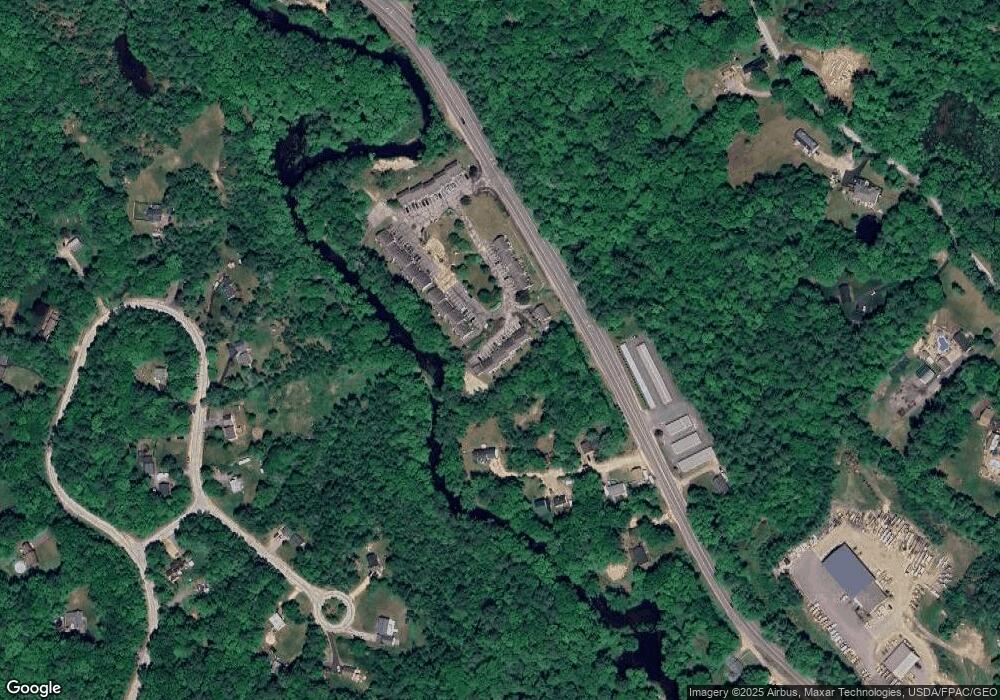
Map
Nearby Homes
- 202 Route 27 Unit 36
- 189 Route 27
- 53 Barberry Ln
- 84 W Shore Dr
- 29 Harriman Rd
- 7 Woodlawn Rd
- 7 Merrick Rd
- 6 Knights Ct
- 81 Main St
- 19 Parker Ave
- 24 Kendall Ln
- 15 Sargent Dr
- 88 Harriman Hill Rd
- 29 Batchelder Rd
- 10 Raiders Ln
- 0 Eastside Dr
- 11 Blaisdell's Trail
- 6 Blaisdell's Trail
- 17 Blaisdell's Trail
- 37-23 Blaisdell's Trail
- 202 Nh 27 Unit 30
- 202 Route 27 Unit 46
- 202 Route 27 Unit 45
- 202 Route 27 Unit 44
- 202 Route 27 Unit 43
- 202 Route 27 Unit 42
- 202 Route 27 Unit 41
- 202 Route 27 Unit 40
- 202 Route 27 Unit 39
- 202 Route 27 Unit 38
- 202 Route 27 Unit 37
- 202 Route 27 Unit 36
- 202 Route 27 Unit 35
- 202 Route 27 Unit 34
- 202 Route 27 Unit 32
- 202 Route 27 Unit 31
- 202 Route 27 Unit 30
- 202 Route 27 Unit 29
- 202 Route 27 Unit 28
- 202 Route 27 Unit 27