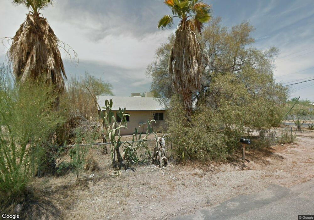
202 S Malcolm Dr Apache Junction, AZ 85120
Northeast Mesa NeighborhoodEstimated Value: $382,142 - $425,000
3
Beds
2
Baths
1,950
Sq Ft
$205/Sq Ft
Est. Value
About This Home
This home is located at 202 S Malcolm Dr, Apache Junction, AZ 85120 and is currently estimated at $399,036, approximately $204 per square foot. 202 S Malcolm Dr is a home located in Maricopa County with nearby schools including Brinton Elementary School, Franklin at Brimhall Elementary School, and Franklin West Elementary School.
Ownership History
Date
Name
Owned For
Owner Type
Purchase Details
Closed on
Apr 19, 2022
Sold by
Hyer and Corriann
Bought by
Perkins Kyle A and Perkins Crystal A
Current Estimated Value
Purchase Details
Closed on
May 28, 1996
Sold by
Mann Evert Michael and Mann William Walter
Bought by
Hyer Lawrence and Hyer Corriann
Purchase Details
Closed on
Aug 23, 1995
Sold by
Rasmussen Charles D and Rasmussen Holly
Bought by
Hyer Lawrence and Hyer Corriann
Create a Home Valuation Report for This Property
The Home Valuation Report is an in-depth analysis detailing your home's value as well as a comparison with similar homes in the area
Home Values in the Area
Average Home Value in this Area
Purchase History
| Date | Buyer | Sale Price | Title Company |
|---|---|---|---|
| Perkins Kyle A | $400,000 | Clear Title | |
| Hyer Lawrence | $38,667 | Chicago Title Insurance Co | |
| Hyer Lawrence | -- | Chicago Title Insurance Co | |
| Hyer Lawrence | -- | -- |
Source: Public Records
Tax History
| Year | Tax Paid | Tax Assessment Tax Assessment Total Assessment is a certain percentage of the fair market value that is determined by local assessors to be the total taxable value of land and additions on the property. | Land | Improvement |
|---|---|---|---|---|
| 2025 | $981 | $13,170 | -- | -- |
| 2024 | $1,003 | $12,543 | -- | -- |
| 2023 | $1,003 | $31,810 | $6,360 | $25,450 |
| 2022 | $977 | $22,710 | $4,540 | $18,170 |
| 2021 | $988 | $20,870 | $4,170 | $16,700 |
| 2020 | $981 | $18,570 | $3,710 | $14,860 |
| 2019 | $899 | $16,710 | $3,340 | $13,370 |
| 2018 | $874 | $15,830 | $3,160 | $12,670 |
| 2017 | $841 | $14,260 | $2,850 | $11,410 |
| 2016 | $824 | $13,870 | $2,770 | $11,100 |
Source: Public Records
Map
Nearby Homes
- 301 S Elmont Dr
- 143 S Mountain Rd
- 11311 E 6th Ave
- 724 S Emerald Dr
- 744 S Emerald Dr
- 434 S 113th Way
- 11263 E Crescent Ave
- 11203 E Crescent Ave
- 11529 E 4th Ave
- 11066 E Abilene Ave
- 11451 E Broadway Rd
- 11435 E Apache Trail Unit 48
- 11435 E Apache Trail Unit 84
- 11100 E Apache Trail Unit 37
- 11100 E Apache Trail
- 11100 E Apache Trail Unit 8
- 11100 E Apache Trail Unit 16
- 11100 E Apache Trail Unit 48
- 155 S Parkwood
- 53 N Mountain Rd Unit 75
- 202 S Malcolm Dr
- 11217 E 4th Ave
- 212 S Malcom St
- 212 S Malcolm Dr
- 11301 E 4th Ave
- 148 S Malcolm Dr
- 149 S Malcolm Dr
- 203 S Elmont Dr
- 220 S Malcolm Dr
- 11302 E 5th Ave
- 159 S Elmont Dr
- 213 S Elmont Dr
- 140 S Malcolm Dr
- 11311 E 4th Ave
- 151 S Elmont Dr
- 141 S Malcolm Dr
- 11312 E 5th Ave
- 232 S Malcolm Dr
- 221 S Elmont Dr
- 221 S Elmont Dr
Your Personal Tour Guide
Ask me questions while you tour the home.