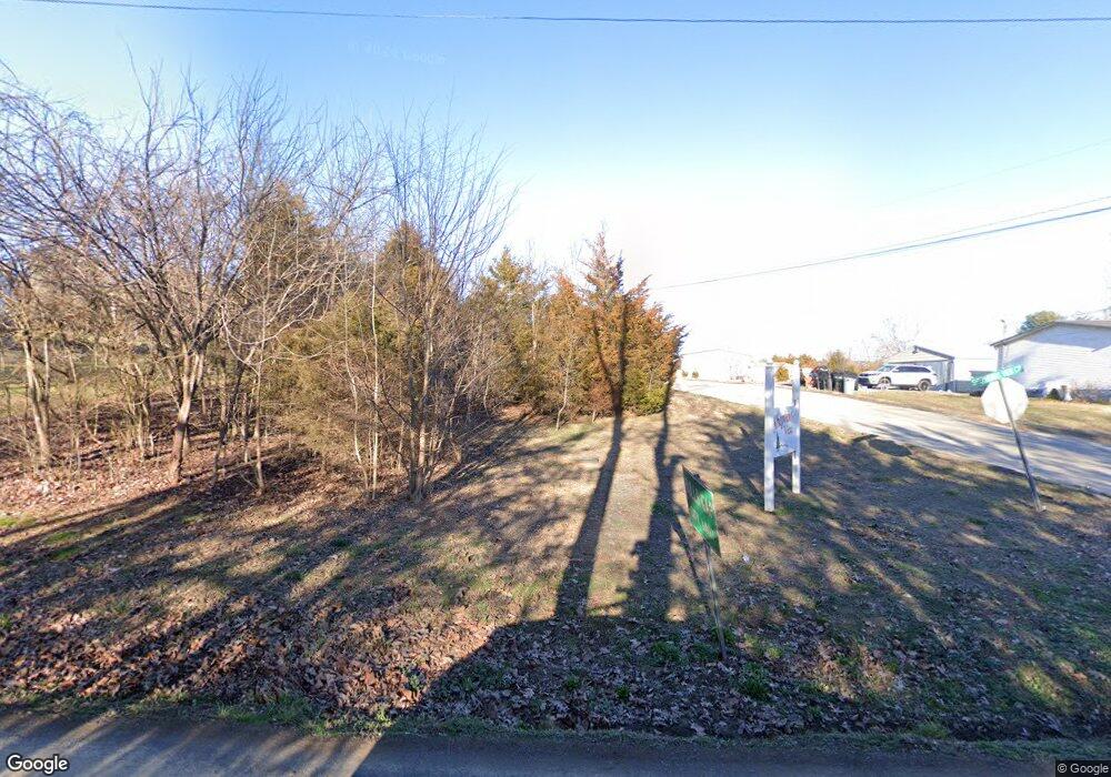
202 Shephard Dr Unit 1 Bulls Gap, TN 37711
Estimated Value: $94,715 - $103,000
2
Beds
1
Bath
630
Sq Ft
$156/Sq Ft
Est. Value
About This Home
This home is located at 202 Shephard Dr Unit 1, Bulls Gap, TN 37711 and is currently estimated at $98,429, approximately $156 per square foot. 202 Shephard Dr Unit 1 is a home located in Hawkins County with nearby schools including Bulls Gap School and Cherokee High School.
Ownership History
Date
Name
Owned For
Owner Type
Purchase Details
Closed on
Jun 24, 2022
Sold by
Ray Brown Ronnie
Bought by
Hines Bruce Alan and Hines Buffy Mae
Current Estimated Value
Purchase Details
Closed on
Sep 13, 2021
Sold by
Reed Dale
Bought by
Brown Ronnie Ray
Purchase Details
Closed on
Mar 26, 2012
Bought by
Reed Dale
Purchase Details
Closed on
May 16, 1995
Bought by
Mayes Rhonda L
Purchase Details
Closed on
Jun 24, 1993
Bought by
Dotson Geraldine
Purchase Details
Closed on
Sep 18, 1985
Bought by
Dotson Claude and Dotson Geraldine
Create a Home Valuation Report for This Property
The Home Valuation Report is an in-depth analysis detailing your home's value as well as a comparison with similar homes in the area
Home Values in the Area
Average Home Value in this Area
Purchase History
| Date | Buyer | Sale Price | Title Company |
|---|---|---|---|
| Hines Bruce Alan | $55,000 | New Title Company Name | |
| Brown Ronnie Ray | $24,500 | None Available | |
| Reed Dale | $19,000 | -- | |
| Mayes Rhonda L | $30,000 | -- | |
| Dotson Geraldine | -- | -- | |
| Dotson Claude | -- | -- |
Source: Public Records
Tax History Compared to Growth
Tax History
| Year | Tax Paid | Tax Assessment Tax Assessment Total Assessment is a certain percentage of the fair market value that is determined by local assessors to be the total taxable value of land and additions on the property. | Land | Improvement |
|---|---|---|---|---|
| 2024 | $117 | $4,575 | $1,675 | $2,900 |
| 2023 | $125 | $4,575 | $0 | $0 |
| 2022 | $125 | $5,375 | $1,675 | $3,700 |
| 2021 | $117 | $5,375 | $1,675 | $3,700 |
| 2020 | $119 | $5,375 | $1,675 | $3,700 |
| 2019 | $119 | $4,700 | $1,675 | $3,025 |
| 2018 | $119 | $4,700 | $1,675 | $3,025 |
| 2017 | $119 | $4,700 | $1,675 | $3,025 |
| 2016 | $119 | $4,700 | $1,675 | $3,025 |
| 2015 | $116 | $4,700 | $1,675 | $3,025 |
| 2014 | $120 | $4,875 | $1,675 | $3,200 |
Source: Public Records
Map
Nearby Homes
- 202 S Shepherd Dr
- 711 N Main St
- 0 Whitehorn Rd Unit 1314385
- 438 N Vfw Rd
- 945 N Main St
- 116 Magnolia Ave
- 204 Meadowview Rd
- 123 N Main St
- 473 Lautner Rd
- 2.79 Ac U S 11e
- 350 N Vfw Rd
- 415 Pleasant Hill Rd
- 0 Guthries Gap Rd Unit 611585
- 231 Guthries Gap Rd
- 670 Bulls Gap Saint Clair Rd
- 670 Bulls Gap-Saint Clair Rd
- Tbd Stone Mountain Rd
- 15 Stone Mountain Rd
- 415 Stone Mountain Rd
- 0 Walkers Church
- 202 S Shepherd Dr Unit 1
- 202 Shephard Dr
- 109 N Shephard Dr
- 110 Shephard Dr
- 0 Whitehorn Rd Unit 9976573
- 110 Harmon St
- 106 Harmon St
- 122 N Shepherd Dr
- 507 N Main St
- 528 N Main St
- Lot 3 Shepherds View Cir
- 505 N Main St
- 121 Eastview Ln
- 743 N Main St
- 483 N Vfw Rd
- 102 Easy St
- 119 Eastview Ln
- 000 White Horn Rd
- Lot 2 White Horn Rd
- 00 White Horn Rd
