202 Shorel Drive Unit 10 Polson, MT 59860
Estimated Value: $1,038,000 - $1,293,000
3
Beds
3
Baths
3,023
Sq Ft
$384/Sq Ft
Est. Value
About This Home
This home is located at 202 Shorel Drive Unit 10, Polson, MT 59860 and is currently estimated at $1,161,827, approximately $384 per square foot. 202 Shorel Drive Unit 10 is a home located in Lake County with nearby schools including Cherry Valley School, Linderman Elementary School, and Polson Middle School (7-8).
Ownership History
Date
Name
Owned For
Owner Type
Purchase Details
Closed on
Apr 24, 2020
Sold by
Jpm Holdings Inc
Bought by
Perry Robert L
Current Estimated Value
Purchase Details
Closed on
Oct 31, 2006
Sold by
Mill Creek Iv Lp
Bought by
Rudio Jack L and Rudio Twila B
Home Financials for this Owner
Home Financials are based on the most recent Mortgage that was taken out on this home.
Original Mortgage
$175,000
Interest Rate
6.39%
Mortgage Type
New Conventional
Create a Home Valuation Report for This Property
The Home Valuation Report is an in-depth analysis detailing your home's value as well as a comparison with similar homes in the area
Home Values in the Area
Average Home Value in this Area
Purchase History
| Date | Buyer | Sale Price | Title Company |
|---|---|---|---|
| Perry Robert L | -- | First American Title Company | |
| Rudio Jack L | -- | None Available |
Source: Public Records
Mortgage History
| Date | Status | Borrower | Loan Amount |
|---|---|---|---|
| Previous Owner | Rudio Jack L | $175,000 |
Source: Public Records
Tax History Compared to Growth
Tax History
| Year | Tax Paid | Tax Assessment Tax Assessment Total Assessment is a certain percentage of the fair market value that is determined by local assessors to be the total taxable value of land and additions on the property. | Land | Improvement |
|---|---|---|---|---|
| 2025 | $6,175 | $1,066,000 | $0 | $0 |
| 2024 | $6,688 | $828,200 | $0 | $0 |
| 2023 | $6,216 | $828,200 | $0 | $0 |
| 2022 | $5,573 | $628,300 | $0 | $0 |
| 2021 | $5,982 | $628,300 | $0 | $0 |
| 2020 | $4,886 | $495,500 | $0 | $0 |
| 2019 | $4,950 | $495,500 | $0 | $0 |
| 2018 | $5,448 | $553,000 | $0 | $0 |
| 2017 | $5,180 | $554,000 | $0 | $0 |
| 2016 | $5,629 | $586,600 | $0 | $0 |
| 2015 | $5,414 | $586,600 | $0 | $0 |
| 2014 | $5,118 | $355,114 | $0 | $0 |
Source: Public Records
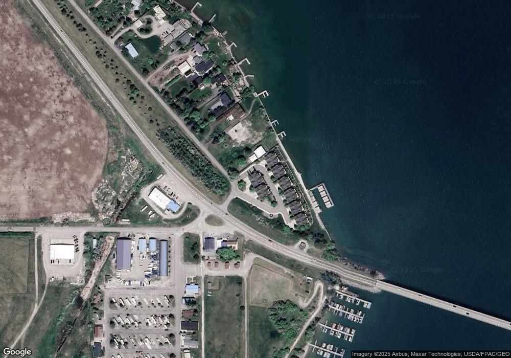
Map
Nearby Homes
- 328 Shoreline Dr
- 9 Regatta Rd Unit Spc 22
- 9 Regatta Rd Unit Spc. 30
- 780 7th Ave W
- NHN Irvine Flats Rd
- 506 2nd St W
- Lot 1 7th Ave W
- Lot 6 7th Ave W
- 1 Kootenai Ave Unit 17
- 1 Kootenai Ave Unit 10
- 200 Irvine Flats Rd Unit 149
- 107 3rd Ave E
- 207 9th Ave W
- 304 10th Ave W
- 908 2nd St W Unit 5
- 908 2nd St W Unit 7
- 908 2nd St W Unit 6
- Lot 12 Highland Dr
- 39760 Highland Dr
- 100 Rocky Point Rd Unit F5
- 310 Shoreline Dr
- 226 Shoreline Dr
- 254 Shoreline Dr
- 242 Shoreline Dr
- 242 Shoreline Dr
- 20 Regatta Rd
- 19 Regatta Rd
- 46 Regatta Rd
- 12 Regatta Rd
- 286 Shoreline Dr
- 202 Shoreline Dr Unit 9-3a
- 202 Shoreline Dr Unit 4
- 202 Shoreline Dr Unit 9-3a
- 202 Shoreline Dr Unit 6
- 202 Shoreline Dr Unit 4
- 202 Shoreline Dr
- 202 Shoreline Dr Unit 14
- 202 Shoreline Dr Unit 3
- 202 Shoreline Dr Unit 10
- 202 Shoreline Dr Unit 8