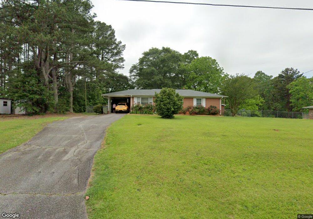
202 Torrington Rd Walhalla, SC 29691
Estimated Value: $201,000 - $227,000
2
Beds
2
Baths
1,150
Sq Ft
$186/Sq Ft
Est. Value
About This Home
This home is located at 202 Torrington Rd, Walhalla, SC 29691 and is currently estimated at $213,854, approximately $185 per square foot. 202 Torrington Rd is a home located in Oconee County with nearby schools including Walhalla Elementary School, Walhalla Middle School, and Walhalla High School.
Ownership History
Date
Name
Owned For
Owner Type
Purchase Details
Closed on
Apr 29, 2019
Sold by
Baumgarner Melvin Dennis
Bought by
Freeman Danny E and Freeman Wanda E
Current Estimated Value
Home Financials for this Owner
Home Financials are based on the most recent Mortgage that was taken out on this home.
Original Mortgage
$123,190
Outstanding Balance
$107,409
Interest Rate
4%
Mortgage Type
New Conventional
Estimated Equity
$106,445
Purchase Details
Closed on
Sep 28, 2017
Sold by
Winchester Mary C and Vickery Ovaline N
Bought by
Baumgarner Melvin Dennis
Purchase Details
Closed on
Dec 29, 2010
Sold by
Edwards Jame Daniel and Edwards Sherry P
Bought by
Bugg Bobby Lee
Create a Home Valuation Report for This Property
The Home Valuation Report is an in-depth analysis detailing your home's value as well as a comparison with similar homes in the area
Home Values in the Area
Average Home Value in this Area
Purchase History
| Date | Buyer | Sale Price | Title Company |
|---|---|---|---|
| Freeman Danny E | $127,000 | None Available | |
| Baumgarner Melvin Dennis | $75,000 | None Available | |
| Bugg Bobby Lee | $50,000 | -- |
Source: Public Records
Mortgage History
| Date | Status | Borrower | Loan Amount |
|---|---|---|---|
| Open | Freeman Danny E | $123,190 |
Source: Public Records
Tax History
| Year | Tax Paid | Tax Assessment Tax Assessment Total Assessment is a certain percentage of the fair market value that is determined by local assessors to be the total taxable value of land and additions on the property. | Land | Improvement |
|---|---|---|---|---|
| 2025 | $631 | $5,271 | $456 | $4,815 |
| 2024 | $625 | $5,271 | $456 | $4,815 |
| 2023 | $613 | $5,271 | $456 | $4,815 |
| 2022 | $613 | $5,271 | $456 | $4,815 |
| 2021 | $182 | $5,008 | $456 | $4,552 |
| 2020 | $1,028 | $5,008 | $456 | $4,552 |
| 2019 | $1,028 | $0 | $0 | $0 |
| 2018 | $1,001 | $0 | $0 | $0 |
| 2017 | $182 | $0 | $0 | $0 |
| 2016 | $182 | $0 | $0 | $0 |
| 2015 | -- | $0 | $0 | $0 |
| 2014 | -- | $2,976 | $658 | $2,318 |
| 2013 | -- | $0 | $0 | $0 |
Source: Public Records
Map
Nearby Homes
- 00 Heaven View Dr
- 229 Cub Cove Dr
- 324 Fox Run Rd
- 221 Cub Cove Dr
- 00 Fox Run Rd
- 323 Fox Run Rd
- Lot 57 Fox Run Rd
- 147 White Oak St
- Lot 7 Winstead Rd
- 101 Hazelwood Way
- 00 Abbott Ln
- 130 Raleighs Ln
- Tract B Bobolink Dr
- 209 Moore Ave
- 00 N Church St
- 223 N Dogwood Dr
- 606 N Poplar St
- 505 Hillside Dr
- 807 W Main St
- 00 Keowee St
- 204 Torrington Rd
- 200 Torrington Rd
- 924 Andover Way
- 920 Andover Way
- 206 Torrington Rd
- 203 Torrington Rd
- 205 Torrington Rd
- 916 Andover Way
- 208 Torrington Rd
- 201 Torrington Rd
- 110 Torrington Rd
- 925 Andover Way
- 921 Andover Way
- 607 Freedom Dr
- 904 Andover Way
- 917 Andover Way
- 108 Torrington Rd
- 841 N Andover Dr
- 100 Mountain View Dr
- 913 Andover Way
Your Personal Tour Guide
Ask me questions while you tour the home.