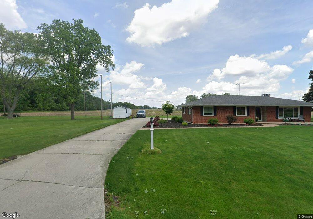
202 W Fairoaks Dr Kouts, IN 46347
Porter County NeighborhoodEstimated Value: $257,000 - $288,000
3
Beds
2
Baths
1,507
Sq Ft
$180/Sq Ft
Est. Value
About This Home
This home is located at 202 W Fairoaks Dr, Kouts, IN 46347 and is currently estimated at $270,842, approximately $179 per square foot. 202 W Fairoaks Dr is a home located in Porter County with nearby schools including Kouts Elementary School, Kouts Middle/High School, and Midwest Academy.
Ownership History
Date
Name
Owned For
Owner Type
Purchase Details
Closed on
Aug 22, 2019
Sold by
Good Kenneth and Good David
Bought by
Leatherman Brent and Leatherman Kimberly
Current Estimated Value
Purchase Details
Closed on
Jan 31, 2012
Sold by
Schafer Myron A and Schafer Vernon D
Bought by
Good Velde W and Good Arlene R
Purchase Details
Closed on
Sep 25, 2008
Sold by
Good Velde W and Good Arlene R
Bought by
Good Kenneth and Good David
Create a Home Valuation Report for This Property
The Home Valuation Report is an in-depth analysis detailing your home's value as well as a comparison with similar homes in the area
Home Values in the Area
Average Home Value in this Area
Purchase History
We collect this data history from publicly available records. To have your information removed, we recommend requesting removal directly through your county’s website.
| Date | Buyer | Sale Price | Title Company |
|---|---|---|---|
| Leatherman Brent | $100,000 | Liberty T&E Co Llc | |
| Good Velde W | -- | Metropolitan Title | |
| Good Kenneth | -- | None Available |
Source: Public Records
Tax History
| Year | Tax Paid | Tax Assessment Tax Assessment Total Assessment is a certain percentage of the fair market value that is determined by local assessors to be the total taxable value of land and additions on the property. | Land | Improvement |
|---|---|---|---|---|
| 2025 | $1,683 | $229,500 | $50,900 | $178,600 |
| 2024 | $1,683 | $220,700 | $50,900 | $169,800 |
| 2023 | $1,723 | $214,800 | $48,700 | $166,100 |
| 2022 | $1,696 | $197,900 | $48,700 | $149,200 |
| 2021 | $1,603 | $183,100 | $48,700 | $134,400 |
| 2020 | $1,584 | $183,400 | $42,400 | $141,000 |
| 2019 | $1,466 | $0 | $0 | $0 |
| 2018 | $3,123 | $155,500 | $42,400 | $113,100 |
| 2017 | $3,112 | $155,600 | $42,400 | $113,200 |
| 2016 | $3,065 | $157,500 | $53,000 | $104,500 |
| 2014 | $3,028 | $149,600 | $52,100 | $97,500 |
| 2013 | -- | $147,800 | $54,200 | $93,600 |
Source: Public Records
Map
Nearby Homes
- 204 N Main St
- 203 E Indiana Ave
- 764 Blackstone Ct
- 709 Blackstone Ct
- Lot B4-5 St Road 8
- 708 S Main St
- 0 Vanessa Way Unit GNR544729
- 0 Sharyn St Unit GNR544743
- 0 Sharyn St Unit GNR544737
- 0 Sharyn St Unit GNR544741
- 702 W Jefferson St
- 655 S 150 E
- 308 E Ross Ave
- 601 Eastwood Dr
- B1-3 State Road 8
- 0-Lot B6-7 State Road 8
- 165 E 600 S
- 31 E Saint Road 8
- 0 E 995 S
- 6775 E 103rd Ln
- 201 W Fairoaks Dr
- 207 W Fairoaks Dr
- 212 W Fairoaks Dr
- 202 Woodland Ave
- 208 Woodland Ave
- 302 W Fairoaks Dr
- 107 W Center
- 212 Woodland Ave
- 301 W Fairoaks Dr
- 705 N Main St
- 306 W Fairoaks Dr
- 205 Woodland Ave
- 305 W Fairoaks Dr
- 211 Woodland Ave
- 306 Woodland Ave
- 209 Eastview St
- Lot 55 Eastview St
- Lot 52 Eastview St
- Lot 53 Eastview St
- Lot 56 Eastview St
Your Personal Tour Guide
Ask me questions while you tour the home.