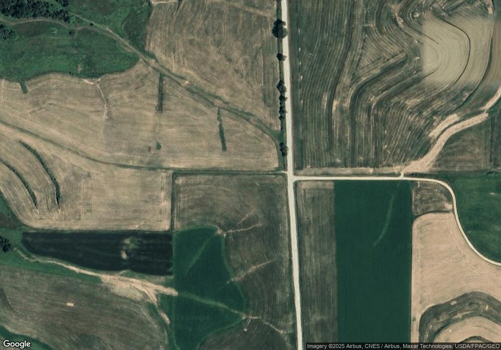
202 Watson Rd Monona, IA 52159
Estimated Value: $339,316 - $517,000
3
Beds
2
Baths
1,568
Sq Ft
$280/Sq Ft
Est. Value
About This Home
This home is located at 202 Watson Rd, Monona, IA 52159 and is currently estimated at $439,079, approximately $280 per square foot. 202 Watson Rd is a home located in Allamakee County with nearby schools including MFL Marmac Elementary School, MFL Marmac Middle School, and MFL Marmac High School.
Ownership History
Date
Name
Owned For
Owner Type
Purchase Details
Closed on
Jun 14, 2023
Sold by
Welch Kevin B
Bought by
Rochleau Tyler Edmund and Rochleau Ashley Nicole
Current Estimated Value
Home Financials for this Owner
Home Financials are based on the most recent Mortgage that was taken out on this home.
Original Mortgage
$83,000
Outstanding Balance
$80,346
Interest Rate
2.75%
Mortgage Type
New Conventional
Estimated Equity
$358,733
Purchase Details
Closed on
Dec 12, 2019
Sold by
Schaefers Alex and Schaefers Teresa
Bought by
Rochleau Tyler Edmund and Rochleau Ashley Nicole
Home Financials for this Owner
Home Financials are based on the most recent Mortgage that was taken out on this home.
Original Mortgage
$171,000
Interest Rate
3.7%
Mortgage Type
New Conventional
Create a Home Valuation Report for This Property
The Home Valuation Report is an in-depth analysis detailing your home's value as well as a comparison with similar homes in the area
Home Values in the Area
Average Home Value in this Area
Purchase History
| Date | Buyer | Sale Price | Title Company |
|---|---|---|---|
| Rochleau Tyler Edmund | $166,000 | None Listed On Document | |
| Rochleau Tyler Edmund | $305,000 | None Available |
Source: Public Records
Mortgage History
| Date | Status | Borrower | Loan Amount |
|---|---|---|---|
| Open | Rochleau Tyler Edmund | $83,000 | |
| Closed | Rochleau Tyler Edmund | $83,000 | |
| Previous Owner | Rochleau Tyler Edmund | $171,000 |
Source: Public Records
Tax History Compared to Growth
Tax History
| Year | Tax Paid | Tax Assessment Tax Assessment Total Assessment is a certain percentage of the fair market value that is determined by local assessors to be the total taxable value of land and additions on the property. | Land | Improvement |
|---|---|---|---|---|
| 2025 | $2,494 | $223,100 | $72,800 | $150,300 |
| 2024 | $2,494 | $173,000 | $54,700 | $118,300 |
| 2023 | $2,348 | $173,000 | $54,700 | $118,300 |
| 2022 | $2,058 | $118,100 | $45,500 | $72,600 |
| 2021 | $2,108 | $123,000 | $50,400 | $72,600 |
| 2020 | $2,108 | $119,400 | $50,300 | $69,100 |
| 2019 | $4,330 | $307,100 | $0 | $0 |
| 2018 | $3,584 | $257,600 | $0 | $0 |
| 2017 | $3,584 | $268,600 | $0 | $0 |
| 2016 | $3,166 | $268,600 | $0 | $0 |
| 2015 | $3,166 | $246,600 | $0 | $0 |
| 2014 | $2,766 | $246,600 | $0 | $0 |
Source: Public Records
Map
Nearby Homes
- 417 Old Sixteen Rd
- TBD Deer Rd
- 530 Spike Buck Ln
- 400 W Center St
- TBD Highway 18
- 0000 Gold Mine Rd
- 107 Countryside Rd
- 0 Penny Springs Rd
- 0000 Greenbrier Dr
- 315 Breezy Pointe Loop Unit Lot 9
- 305 Breezy Pointe Loop Unit Lot 14
- 000 High Pointe Loop Unit Lot 118
- 00 High Pointe Loop Unit Lot 119
- Lot 10 Center Ave Unit Lot 10
- 652 Two Rivers Ln
- 00 Eagle Dr Unit Lot 71
- 208 North St
- 222 Granger St
- 212 Eagle Dr
- 1000 Tanglewood Dr
