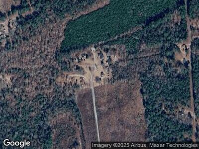
202 Wilson McCoy Rd Eastover, SC 29044
Estimated Value: $100,000 - $230,000
3
Beds
2
Baths
1,658
Sq Ft
$93/Sq Ft
Est. Value
About This Home
This home is located at 202 Wilson McCoy Rd, Eastover, SC 29044 and is currently estimated at $154,393, approximately $93 per square foot. 202 Wilson McCoy Rd is a home with nearby schools including Southeast Middle School and Lower Richland High School.
Ownership History
Date
Name
Owned For
Owner Type
Purchase Details
Closed on
Mar 15, 2000
Sold by
Pringle Sandra
Bought by
Rice Samuel N and Rice Mary N
Current Estimated Value
Home Financials for this Owner
Home Financials are based on the most recent Mortgage that was taken out on this home.
Original Mortgage
$113,900
Interest Rate
8.2%
Mortgage Type
Balloon
Create a Home Valuation Report for This Property
The Home Valuation Report is an in-depth analysis detailing your home's value as well as a comparison with similar homes in the area
Home Values in the Area
Average Home Value in this Area
Purchase History
| Date | Buyer | Sale Price | Title Company |
|---|---|---|---|
| Rice Samuel N | $1,500 | -- |
Source: Public Records
Mortgage History
| Date | Status | Borrower | Loan Amount |
|---|---|---|---|
| Open | Pringle Sandra | $4,792 | |
| Open | Pringle Sandra | $115,602 | |
| Closed | Pringle Sandra | $116,368 | |
| Closed | Pringle James L | $153,381 | |
| Closed | Pringle James | $144,000 | |
| Closed | Pringl James L | $134,000 | |
| Closed | Pringle James L | $113,900 |
Source: Public Records
Tax History Compared to Growth
Tax History
| Year | Tax Paid | Tax Assessment Tax Assessment Total Assessment is a certain percentage of the fair market value that is determined by local assessors to be the total taxable value of land and additions on the property. | Land | Improvement |
|---|---|---|---|---|
| 2024 | $533 | $72,300 | $0 | $0 |
| 2023 | $533 | $2,520 | $0 | $0 |
| 2022 | $773 | $63,000 | $6,200 | $56,800 |
| 2021 | $758 | $2,520 | $0 | $0 |
| 2020 | $768 | $2,520 | $0 | $0 |
| 2019 | $737 | $2,520 | $0 | $0 |
| 2018 | $652 | $2,200 | $0 | $0 |
| 2017 | $641 | $2,200 | $0 | $0 |
| 2016 | $639 | $2,200 | $0 | $0 |
| 2015 | $626 | $2,200 | $0 | $0 |
| 2014 | $611 | $55,100 | $0 | $0 |
| 2013 | -- | $2,200 | $0 | $0 |
Source: Public Records
Map
Nearby Homes
- 0 Mendenhall Rd
- 2848 McCords Ferry Rd
- 229 Joseph Kershaw Rd
- 1001 Lincoln Park Dr
- 000 Community Pond Rd
- 1215 Antioch Amez Church Rd
- 165 Raven Brook Rd
- 128 Dogwood Shores Ln
- 126 Dogwood Shores Ln
- 264 Willie Wilson Rd
- 125 Meadow Ln
- 1124 Pond Dr
- 125 Wilbert Rd
- 3721 McCords Ferry Rd
- 108 Pond Arch Rd
- 2000 Oak Hill Rd
- 239 House Rd
- 1240 State Road S-40-2414
- 812 Piney Branch Rd
- 000 Vanboklen Rd
- 202 Wilson McCoy Rd
- 212 Wilson McCoy Rd
- 201 Wilson McCoy Rd
- 213 Wilson McCoy Rd
- 205 Wilson McCoy Rd
- 207 Wilson McCoy Rd
- 1109 Hezekiah Rd
- 1027 Hezekiah Rd
- 1107 Hezekiah Rd
- 1029 Hezekiah Rd
- 1125 Hezekiah Rd
- TBD Hezekiah Rd
- 1142 Cate Rd
- 1011 Hezekiah Rd
- 1017 Hezekiah Rd
- 13042 Garners Ferry Rd
- 13064 Garners Ferry Rd
- 13060 Garners Ferry Rd
- 13036 Garners Ferry Rd
- 13036 Garners Ferry Rd Unit 6
