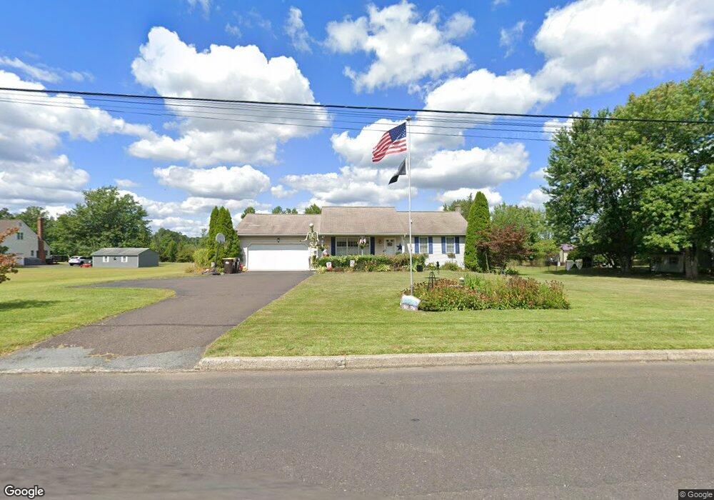
2020 Broad St Perkasie, PA 18944
Estimated Value: $448,000 - $535,000
3
Beds
3
Baths
1,288
Sq Ft
$387/Sq Ft
Est. Value
About This Home
This home is located at 2020 Broad St, Perkasie, PA 18944 and is currently estimated at $497,936, approximately $386 per square foot. 2020 Broad St is a home located in Bucks County with nearby schools including Pennridge High School and Plumstead Christian School.
Ownership History
Date
Name
Owned For
Owner Type
Purchase Details
Closed on
Jun 27, 2008
Sold by
Ziegler Steven L and Ziegler Linda M
Bought by
Lear Edward J and Lear Jill D
Current Estimated Value
Home Financials for this Owner
Home Financials are based on the most recent Mortgage that was taken out on this home.
Original Mortgage
$267,960
Outstanding Balance
$173,743
Interest Rate
6.17%
Mortgage Type
FHA
Estimated Equity
$324,193
Purchase Details
Closed on
Nov 28, 1995
Sold by
Smith Jacob L and Smith Frances M
Bought by
Curcio Carol C
Home Financials for this Owner
Home Financials are based on the most recent Mortgage that was taken out on this home.
Original Mortgage
$130,000
Interest Rate
7.44%
Create a Home Valuation Report for This Property
The Home Valuation Report is an in-depth analysis detailing your home's value as well as a comparison with similar homes in the area
Home Values in the Area
Average Home Value in this Area
Purchase History
| Date | Buyer | Sale Price | Title Company |
|---|---|---|---|
| Lear Edward J | $330,000 | None Available | |
| Curcio Carol C | $145,000 | -- |
Source: Public Records
Mortgage History
| Date | Status | Borrower | Loan Amount |
|---|---|---|---|
| Open | Lear Edward J | $267,960 | |
| Previous Owner | Curcio Carol C | $130,000 |
Source: Public Records
Tax History Compared to Growth
Tax History
| Year | Tax Paid | Tax Assessment Tax Assessment Total Assessment is a certain percentage of the fair market value that is determined by local assessors to be the total taxable value of land and additions on the property. | Land | Improvement |
|---|---|---|---|---|
| 2025 | $5,020 | $29,280 | $6,600 | $22,680 |
| 2024 | $5,020 | $29,280 | $6,600 | $22,680 |
| 2023 | $4,962 | $29,280 | $6,600 | $22,680 |
| 2022 | $4,962 | $29,280 | $6,600 | $22,680 |
| 2021 | $4,962 | $29,280 | $6,600 | $22,680 |
| 2020 | $4,962 | $29,280 | $6,600 | $22,680 |
| 2019 | $4,932 | $29,280 | $6,600 | $22,680 |
| 2018 | $4,932 | $29,280 | $6,600 | $22,680 |
| 2017 | $4,896 | $29,280 | $6,600 | $22,680 |
| 2016 | $4,896 | $29,280 | $6,600 | $22,680 |
| 2015 | -- | $29,280 | $6,600 | $22,680 |
| 2014 | -- | $29,280 | $6,600 | $22,680 |
Source: Public Records
Map
Nearby Homes
- 19 Croft Dr
- 3789 Stump Rd
- 412 Darrah Dr
- 81 Williams Dr
- 1701 Broad St
- 176 Pipers Inn Dr
- 148 S Main St
- 102 High St
- 137 S Main St
- 116 Village Green Ln
- Lot 6 Henry Ct
- 108 Cobblestone Rd
- 116 Bishop Way
- 232 Center Dr
- 316 Schadle Rd
- Lot 10 Schadle Rd
- 106 Wigton Cir
- 9 Dublin Rd
- 178 Elephant Rd Unit C26
- 178 Elephant Rd Unit B16
- 2026 Broad St
- 2111 Broad St
- 2002 Broad St
- 2032 Broad St
- 2027 Broad St
- 524 W Route 313
- 2123 Broad St
- 2035 Broad St
- 1934 Broad St
- 2116 Broad St
- 614 Route 313
- 1926 Broad St
- 6203 Swamp Rd
- 3600 Applebutter Rd
- 6245 Swamp Rd
- 533 Old Dublin Pike
- 3744 Applebutter Rd
- 624 Route 313
- 3603 Applebutter Rd
- 632 Route 313