2020 Coast Guard Dr Stafford, VA 22554
Aquia Harbour NeighborhoodEstimated Value: $550,190 - $570,000
5
Beds
3
Baths
2,454
Sq Ft
$229/Sq Ft
Est. Value
About This Home
This home is located at 2020 Coast Guard Dr, Stafford, VA 22554 and is currently estimated at $561,048, approximately $228 per square foot. 2020 Coast Guard Dr is a home located in Stafford County with nearby schools including Hampton Oaks Elementary School, Shirley C. Heim Middle School, and Brooke Point High School.
Ownership History
Date
Name
Owned For
Owner Type
Purchase Details
Closed on
Apr 15, 1999
Sold by
Foster Robert L
Bought by
Boyd Janet E
Current Estimated Value
Home Financials for this Owner
Home Financials are based on the most recent Mortgage that was taken out on this home.
Original Mortgage
$185,650
Outstanding Balance
$46,932
Interest Rate
7.02%
Estimated Equity
$514,116
Create a Home Valuation Report for This Property
The Home Valuation Report is an in-depth analysis detailing your home's value as well as a comparison with similar homes in the area
Home Values in the Area
Average Home Value in this Area
Purchase History
| Date | Buyer | Sale Price | Title Company |
|---|---|---|---|
| Boyd Janet E | $160,000 | -- |
Source: Public Records
Mortgage History
| Date | Status | Borrower | Loan Amount |
|---|---|---|---|
| Open | Boyd Janet E | $185,650 |
Source: Public Records
Tax History Compared to Growth
Tax History
| Year | Tax Paid | Tax Assessment Tax Assessment Total Assessment is a certain percentage of the fair market value that is determined by local assessors to be the total taxable value of land and additions on the property. | Land | Improvement |
|---|---|---|---|---|
| 2025 | $3,885 | $428,500 | $145,000 | $283,500 |
| 2024 | $3,885 | $428,500 | $145,000 | $283,500 |
| 2023 | $3,705 | $392,100 | $120,000 | $272,100 |
| 2022 | $3,333 | $392,100 | $120,000 | $272,100 |
| 2021 | $2,925 | $301,500 | $95,000 | $206,500 |
| 2020 | $2,925 | $301,500 | $95,000 | $206,500 |
| 2019 | $2,981 | $295,100 | $95,000 | $200,100 |
| 2018 | $2,922 | $295,100 | $95,000 | $200,100 |
| 2017 | $2,719 | $274,600 | $95,000 | $179,600 |
| 2016 | $2,719 | $274,600 | $95,000 | $179,600 |
| 2015 | -- | $254,800 | $95,000 | $159,800 |
| 2014 | -- | $254,800 | $95,000 | $159,800 |
Source: Public Records
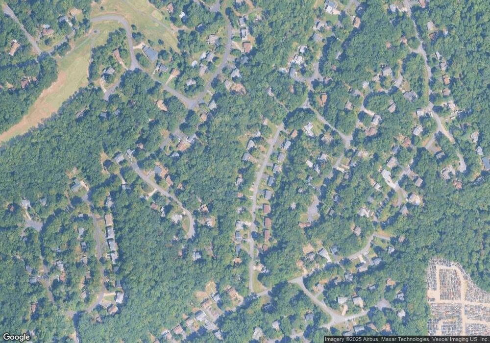
Map
Nearby Homes
- 2016 Coast Guard Dr
- 2022 Buoy Dr
- 2425 Harpoon Dr
- 2409 Harpoon Dr
- 2437 Harpoon Dr
- 201 Bulkhead Cove
- 2320 Harpoon Dr
- 2018 Buoy Dr
- 2312 Harpoon Dr
- 202 Sail Cove
- 2452 Harpoon Dr
- 2228 Aquia Dr
- 2070 Farragut Dr
- 2180 Harpoon Dr
- 2169 Harpoon Dr
- 2149 Aquia Dr
- 2137 Aquia Dr
- 2163 Aquia Dr
- 2161 Aquia Dr
- 3201 Aquia Dr
- 2018 Coast Guard Dr
- 2022 Coast Guard Dr
- 2024 Coast Guard Dr
- 2034 Midshipman Dr
- 2036 Midshipman Dr
- 2014 Coast Guard Dr
- 2017 Coast Guard Dr
- 2032 Midshipman Dr
- 2019 Coast Guard Dr
- 2015 Coast Guard Dr
- 2038 Midshipman Dr
- 2030 Midshipman Dr
- 2013 Coast Guard Dr
- 2028 Coast Guard Dr
- 2021 Coast Guard Dr
- 2012 Coast Guard Dr
- 2028 Midshipman Dr
- 2011 Coast Guard Dr
- 2040 Midshipman Dr
- 2026 Midshipman Dr